In the months leading up to Mount Redoubt’s 2009 eruption, the USGS and Alaska Volcano Observatory (AVO) ramped up monitoring efforts in response to escalating seismic activity that began in late 2008. Their preparation was critical in forecasting the eruption and mitigating its impact.

🔍 Precursors and Early Warning Signs
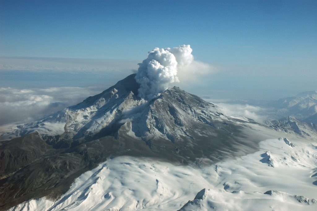
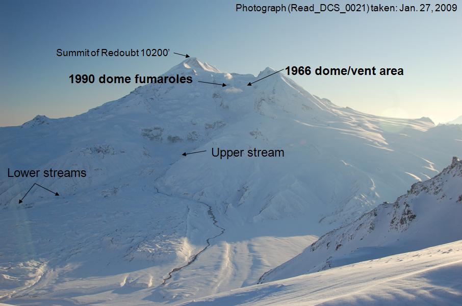
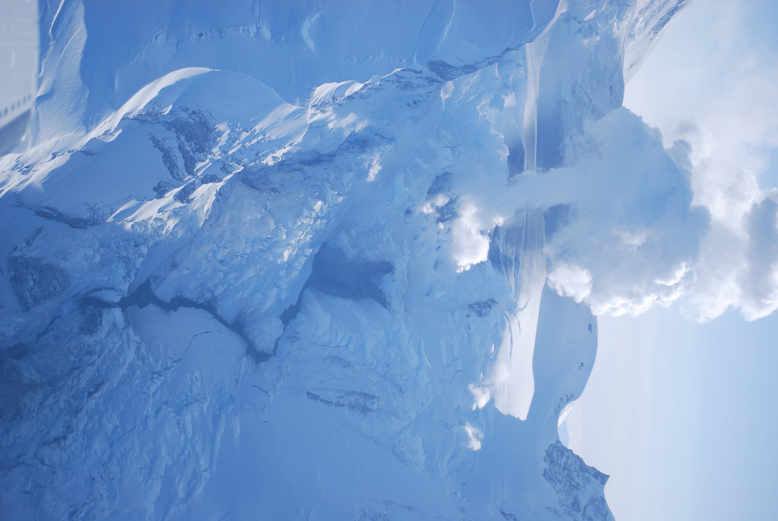
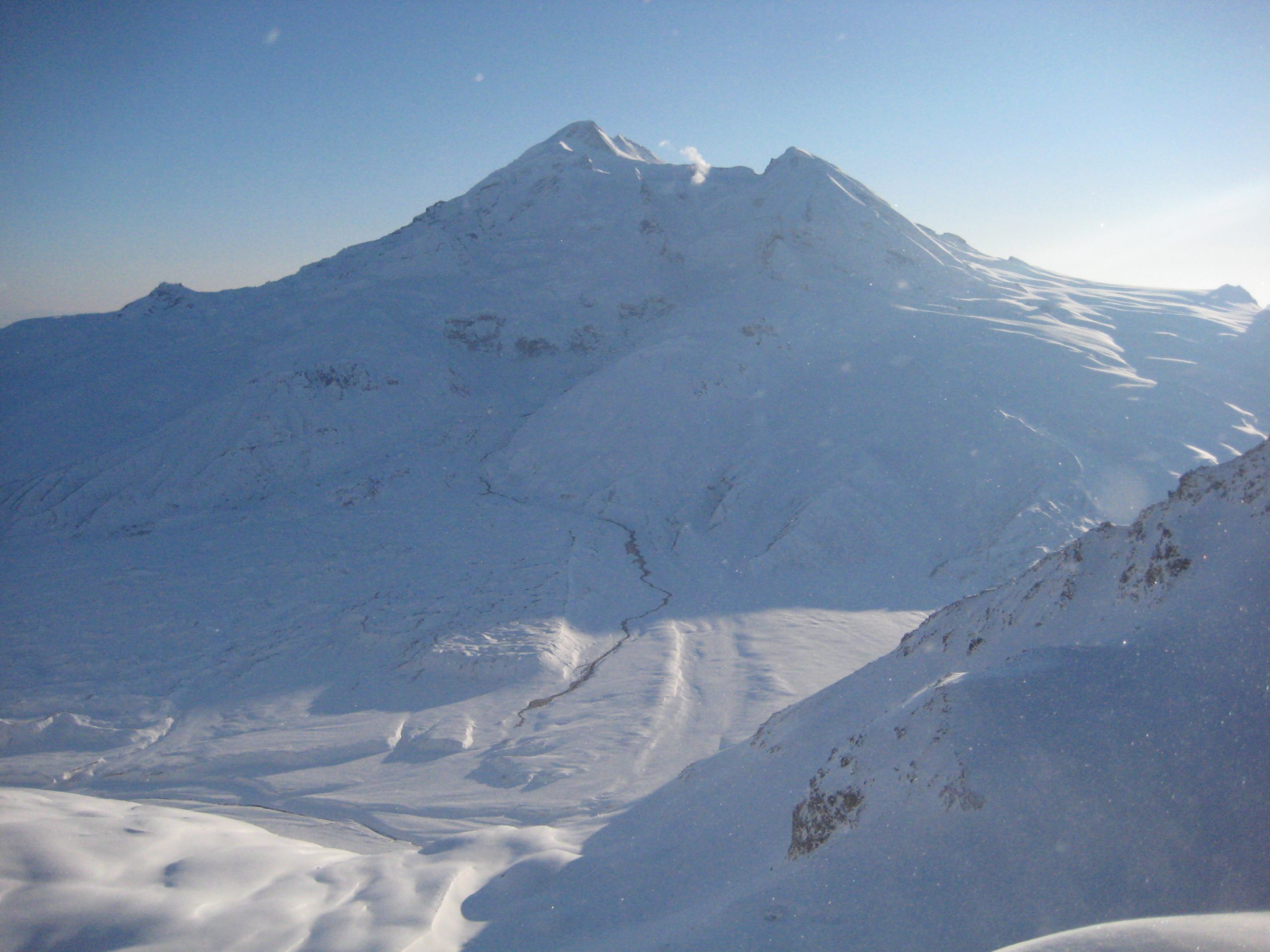
Mount Redoubt, an ice-covered stratovolcano located on the west side of Cook Inlet in Alaska, had a history of explosive eruptions. In September 2008, scientists at the Alaska Volcano Observatory began detecting low-level seismic tremors, a sign that magma might be moving beneath the surface. These tremors gradually intensified over the following months, prompting heightened surveillance.
By January 2009, the volcano showed increased gas emissions, particularly sulfur dioxide, which often signals rising magma. Satellite imagery revealed subtle changes in surface temperature and deformation near the summit. These indicators suggested that Redoubt was entering a phase of unrest.
🧪 USGS and AVO Monitoring Strategy
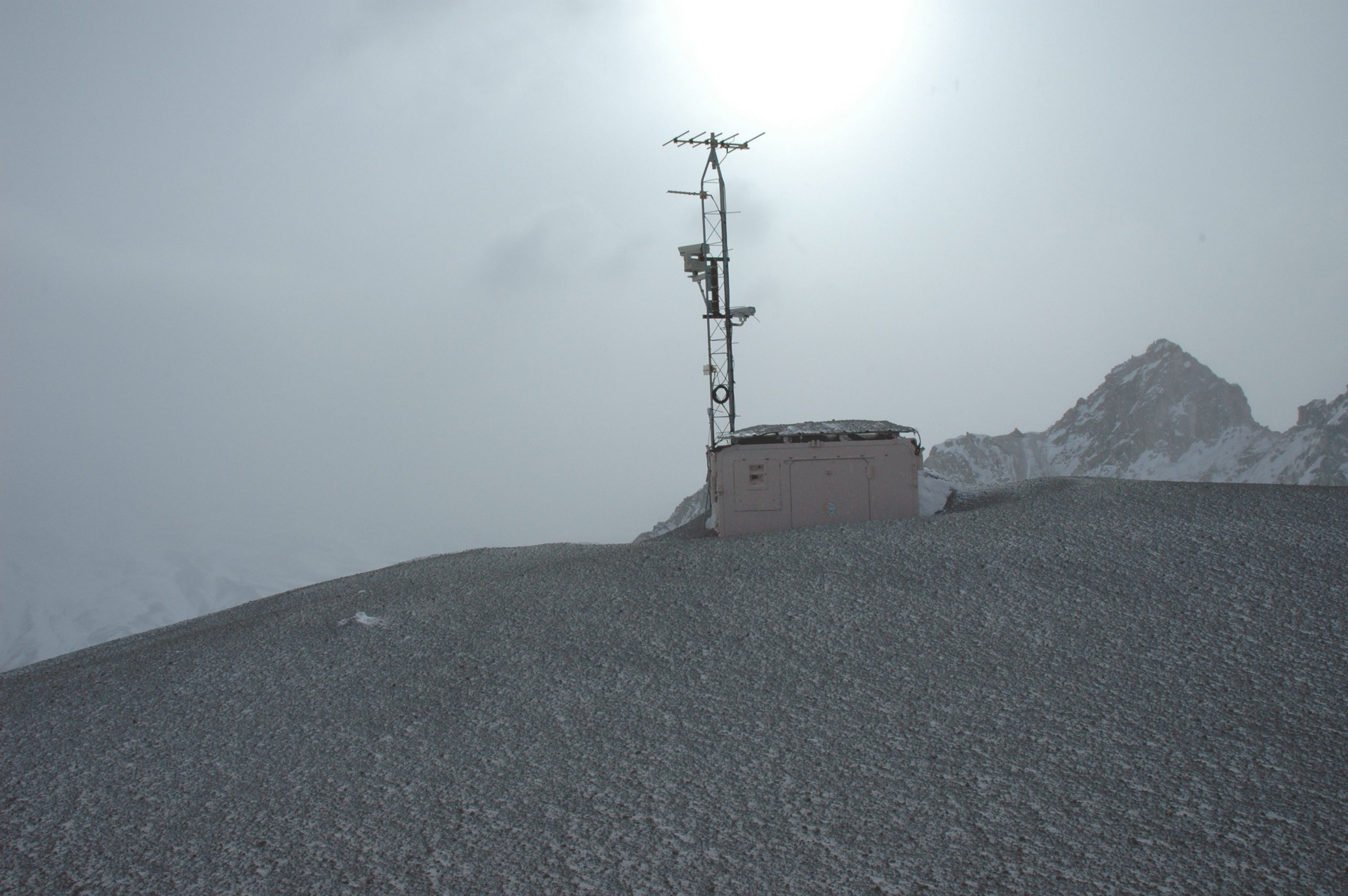
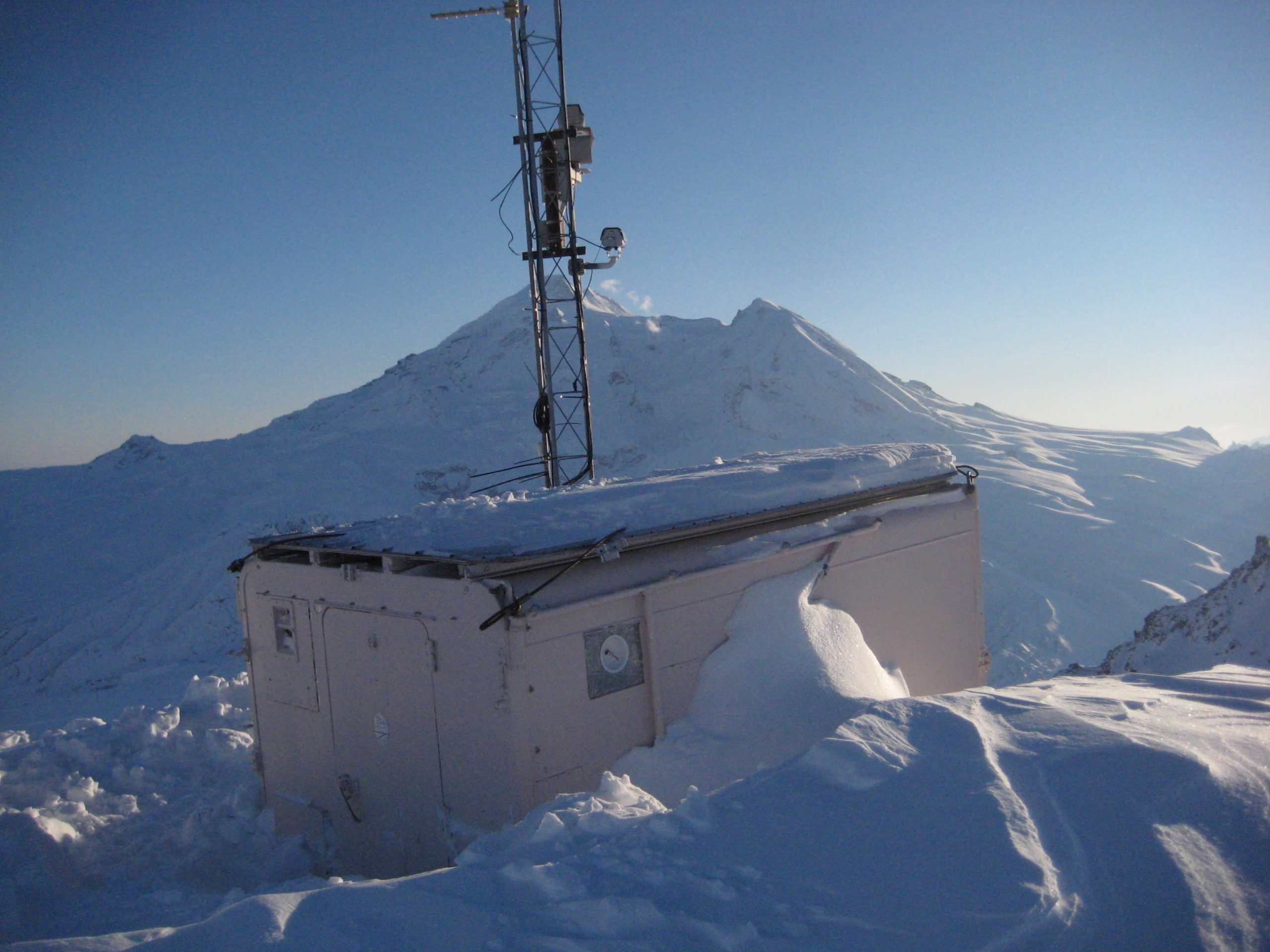
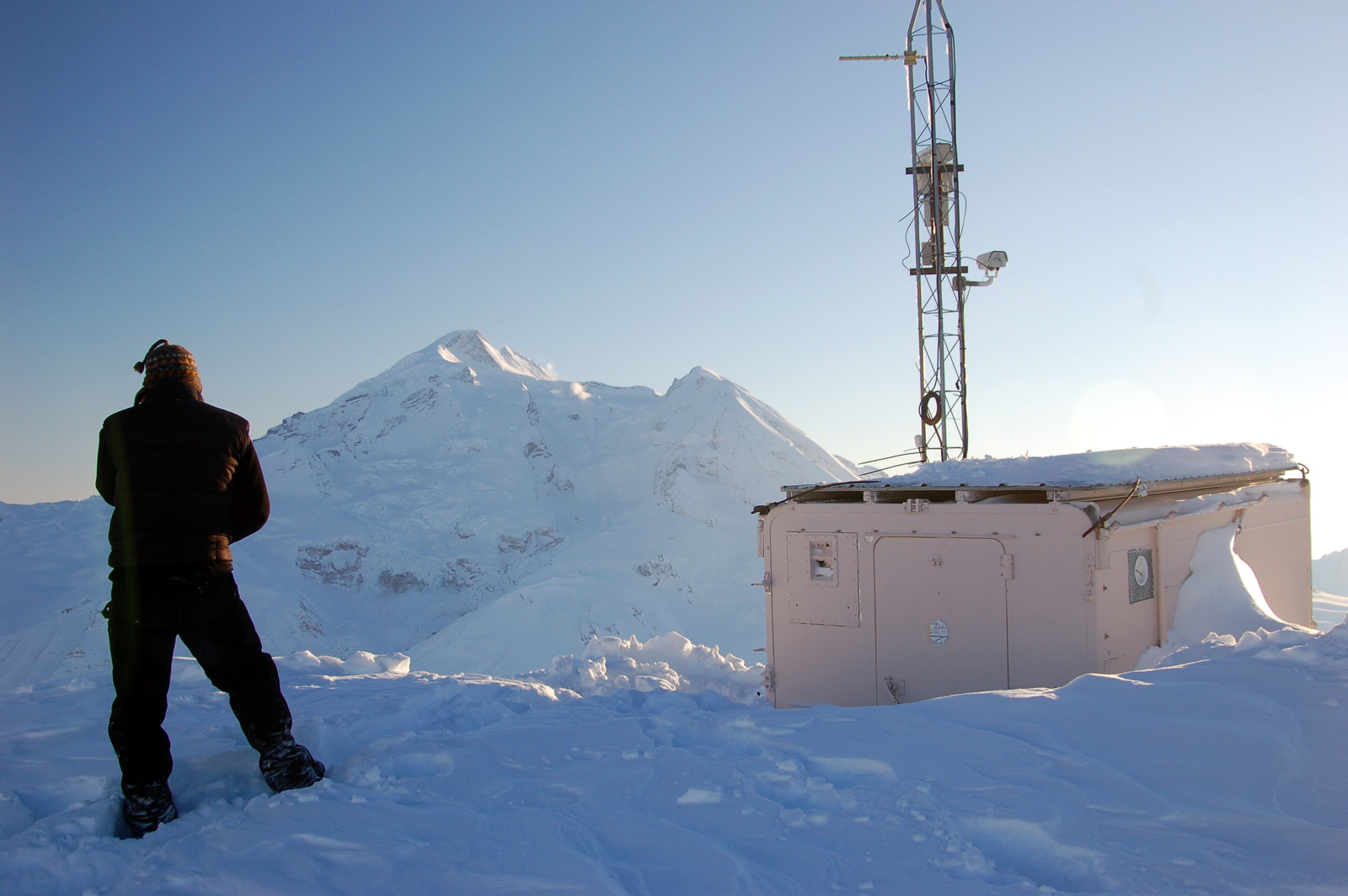
In response to the growing signs of volcanic activity, the USGS and AVO implemented a comprehensive monitoring plan:
- Seismic Network Expansion: Additional seismometers were installed around the volcano to track earthquake swarms and tremors with greater precision.
- Gas Sampling and Thermal Imaging: Scientists conducted frequent overflights to measure volcanic gases and capture infrared images of the summit.
- Webcams and Remote Sensors: Real-time visual monitoring was established to detect ash plumes and surface changes.
- Public Alerts and Coordination: AVO raised the volcano alert level and began issuing regular updates to emergency managers, airlines, and the public.
This proactive approach allowed scientists to closely track the volcano’s behavior and anticipate a possible eruption.
⚠️ Countdown to Eruption
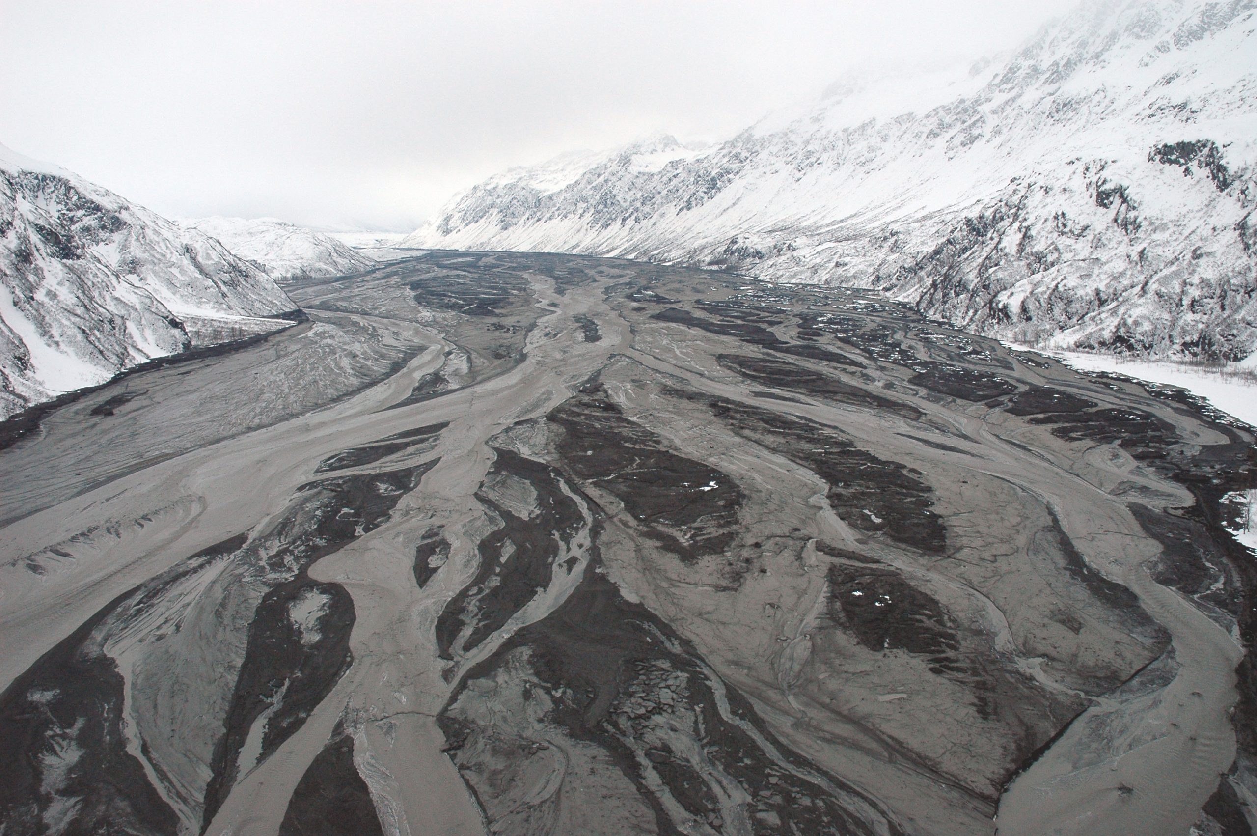
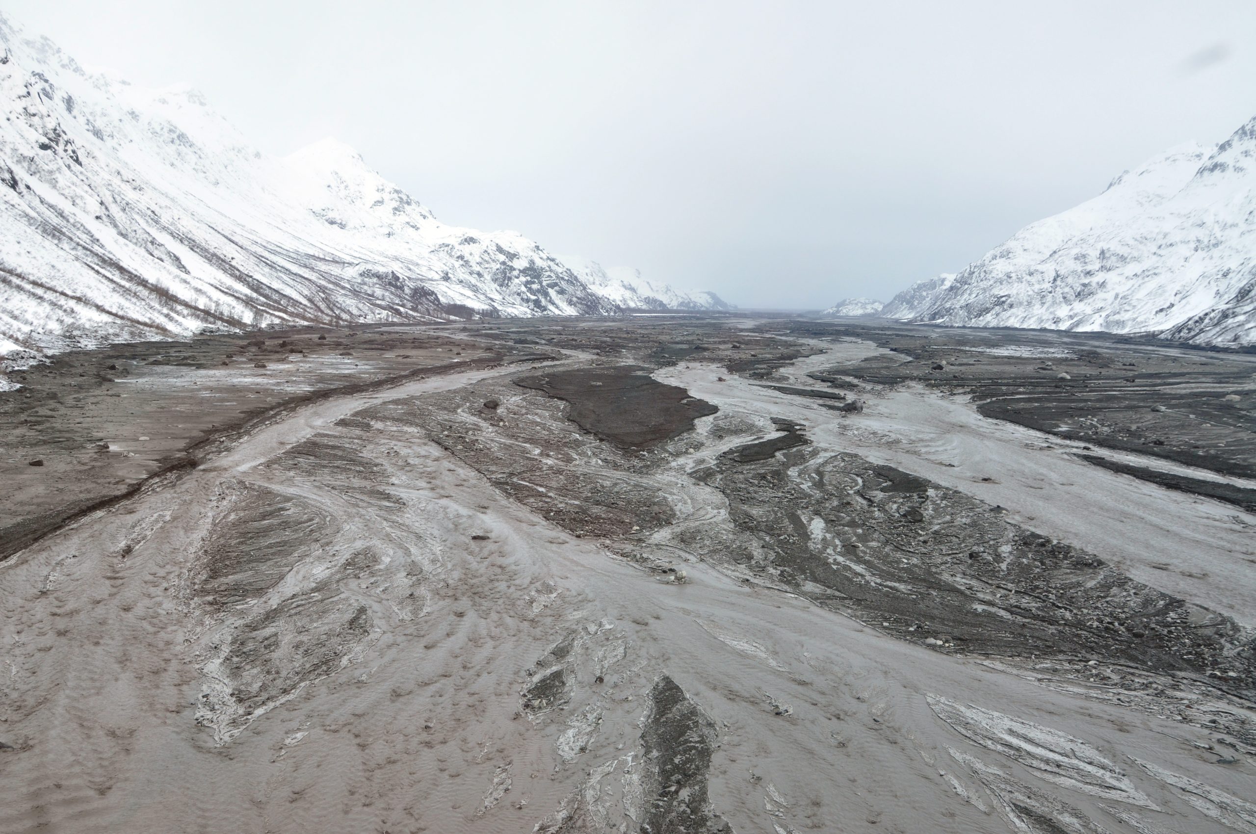
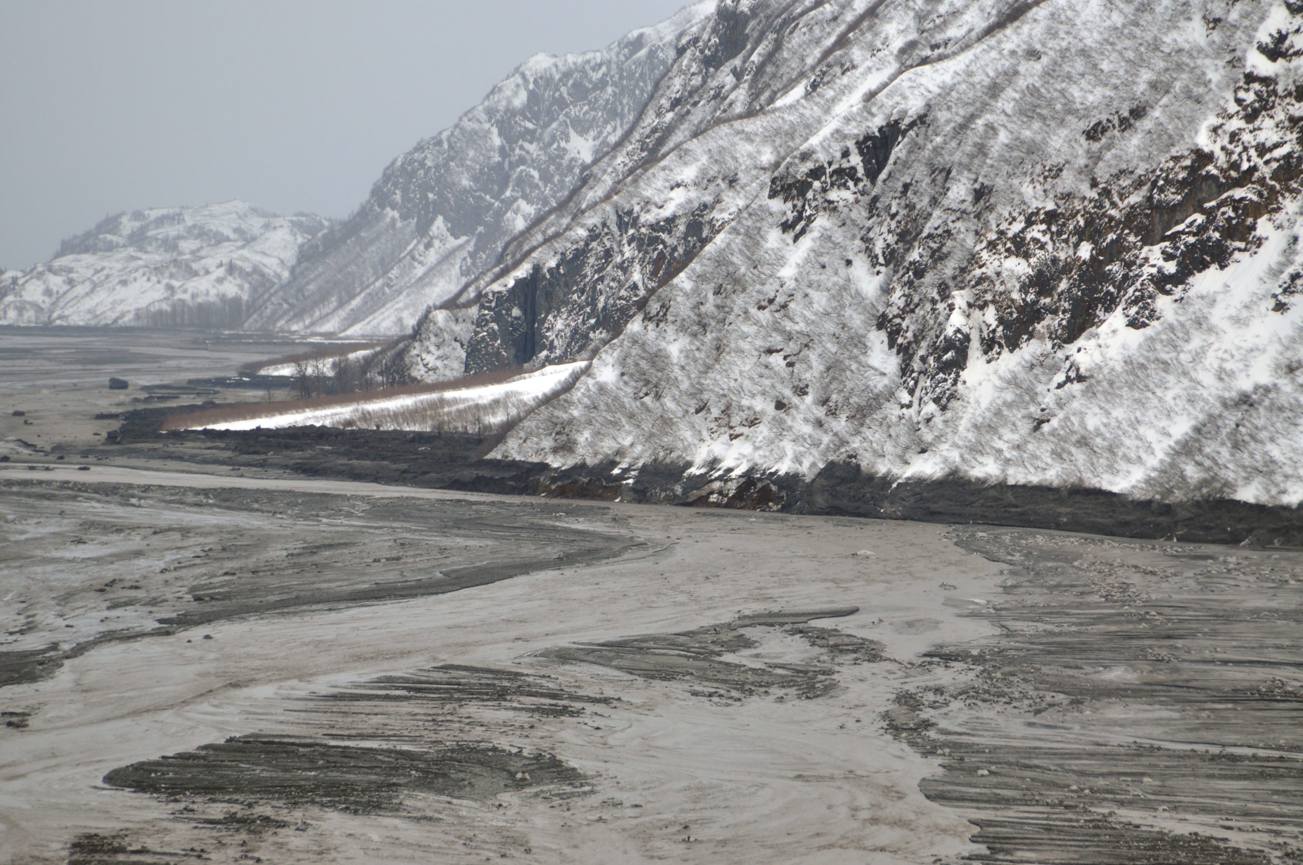
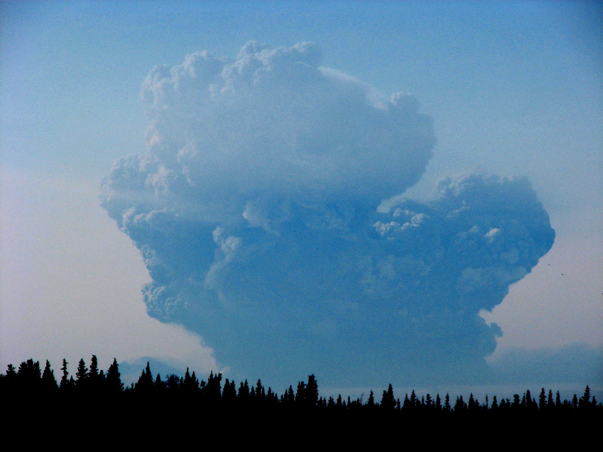
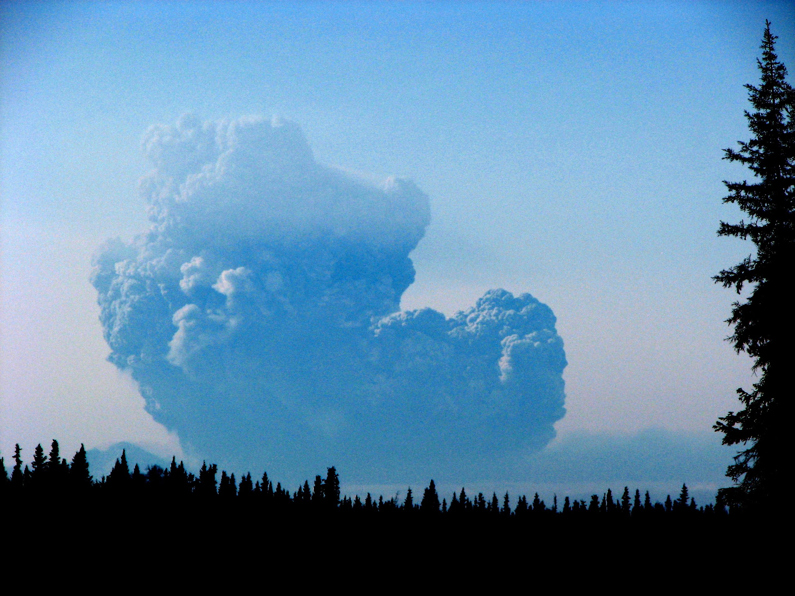
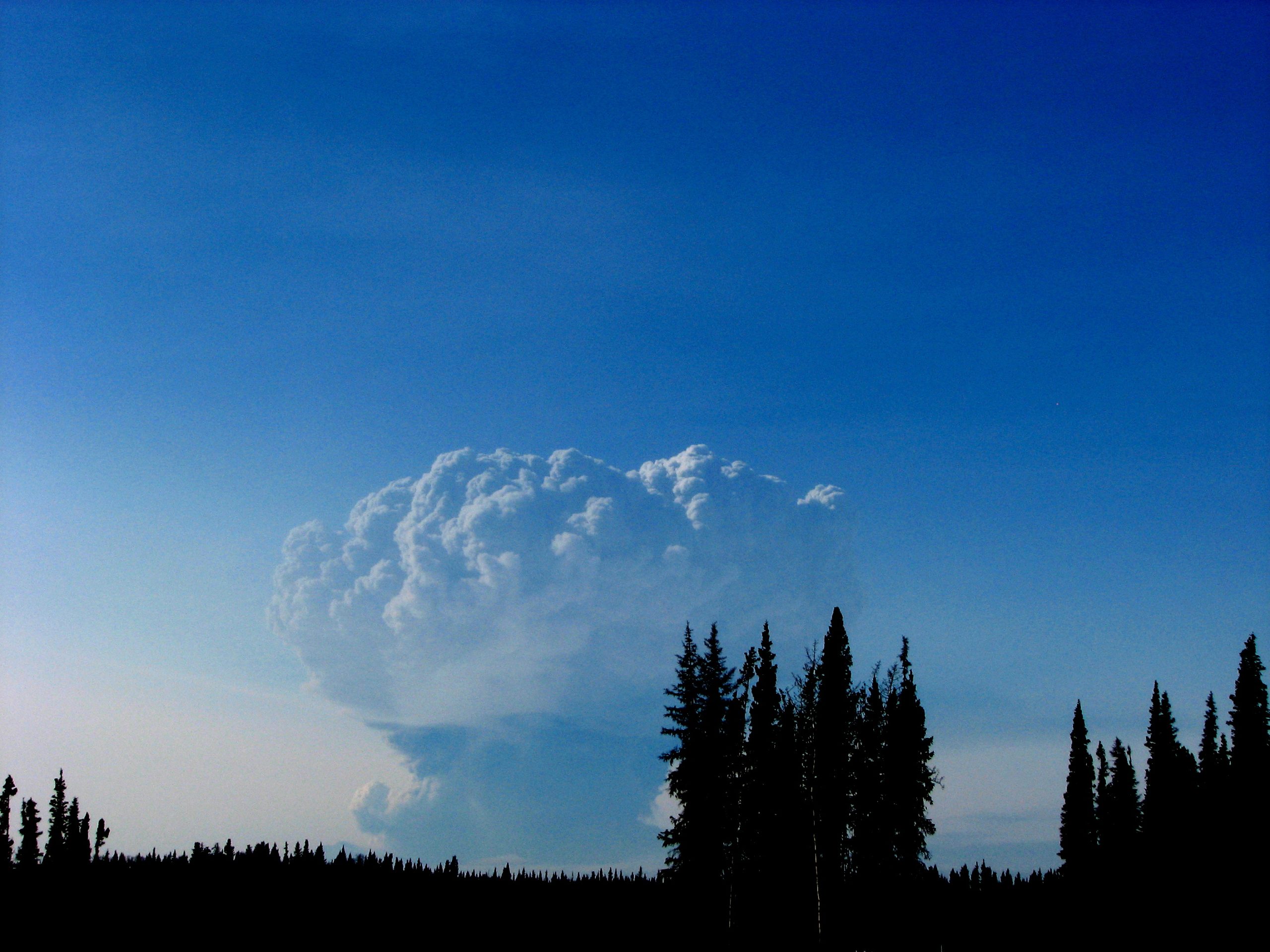
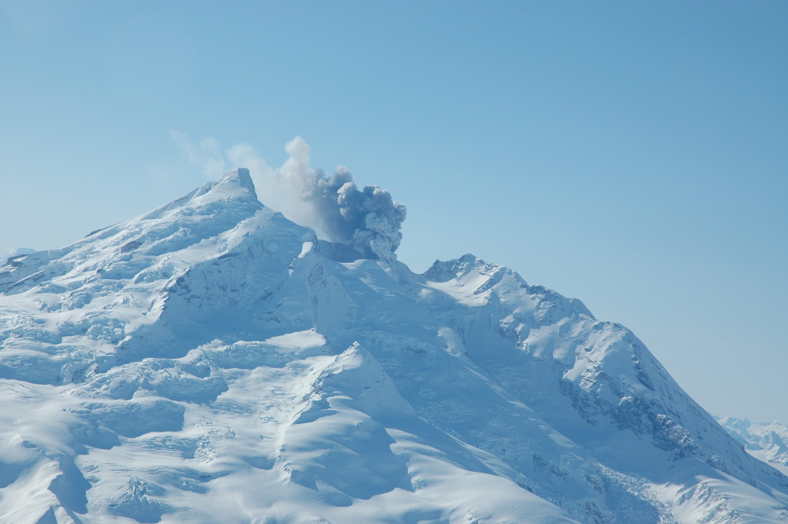
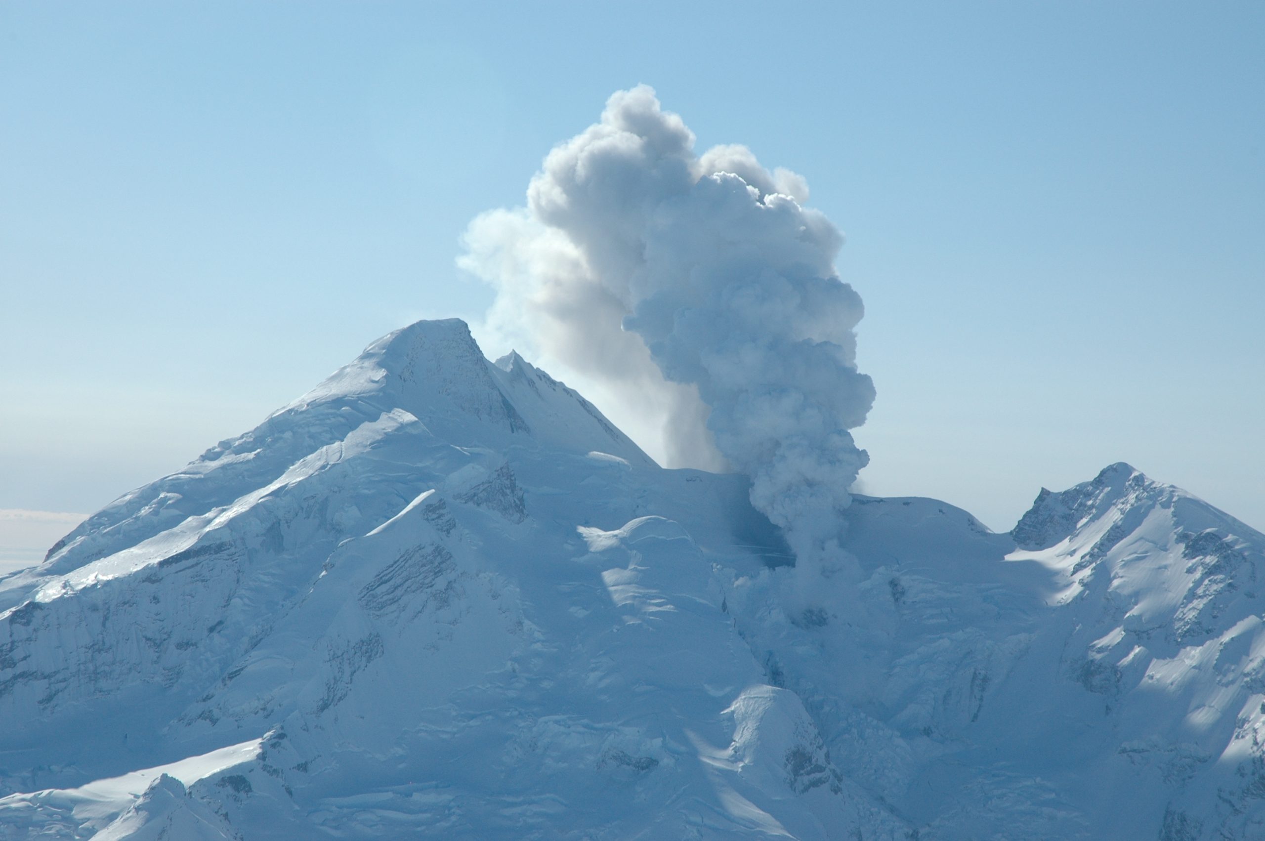
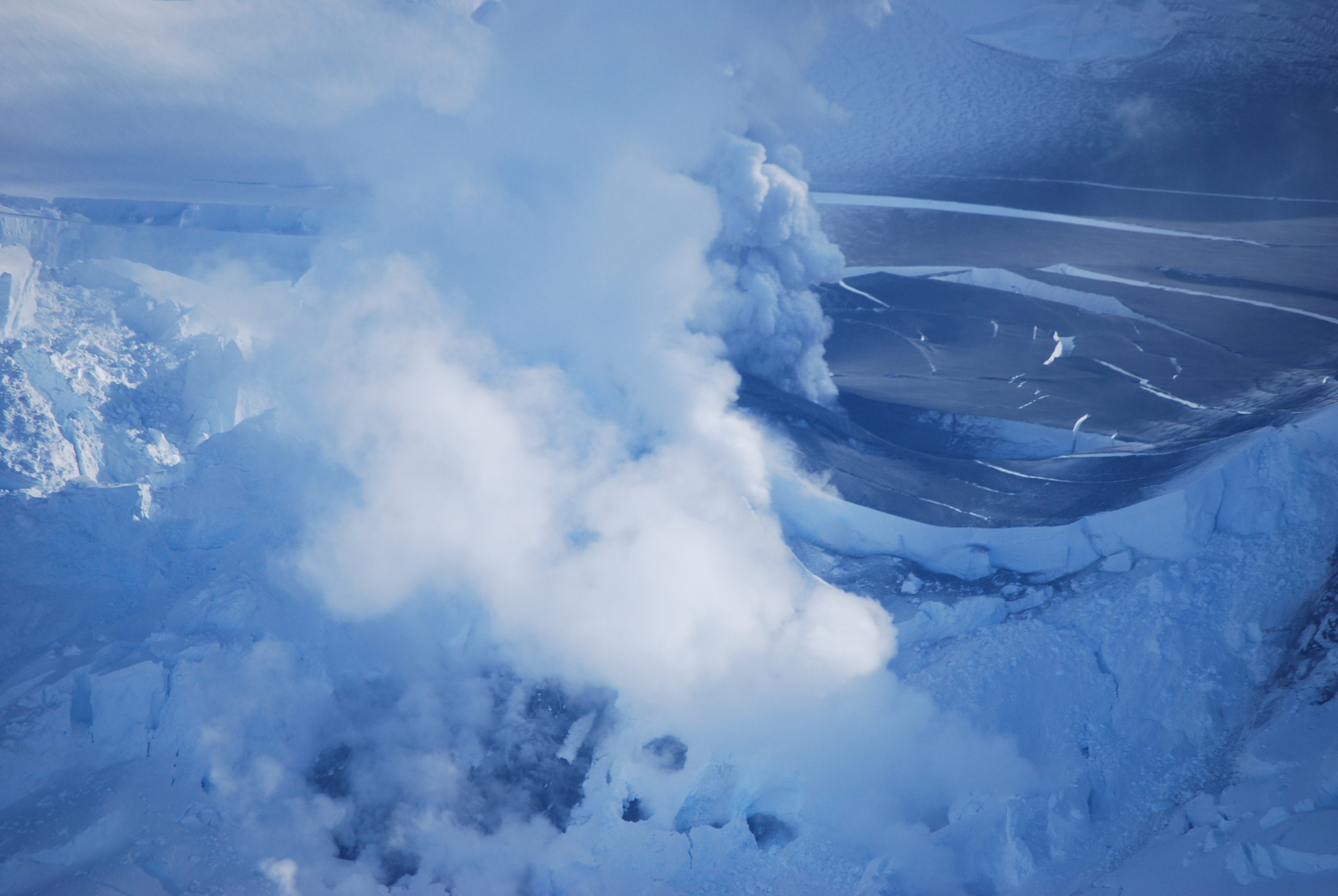
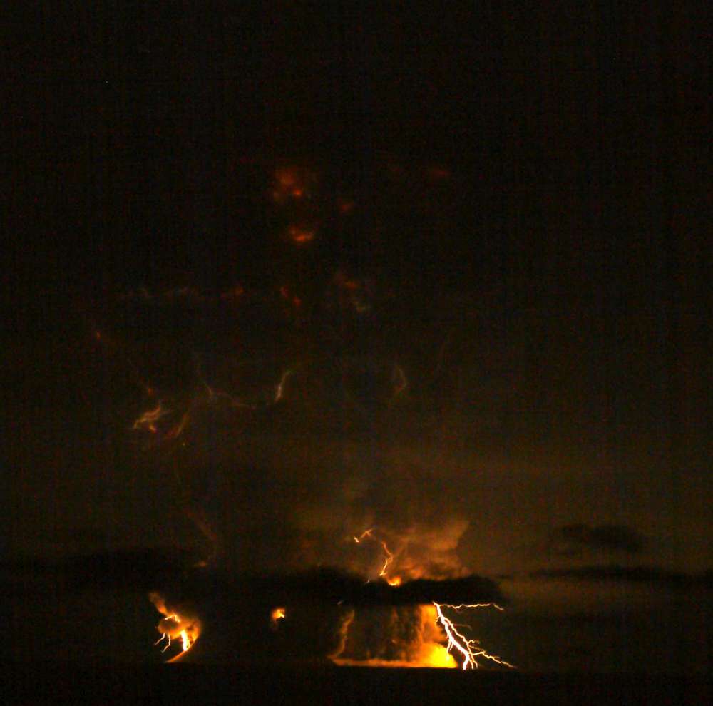
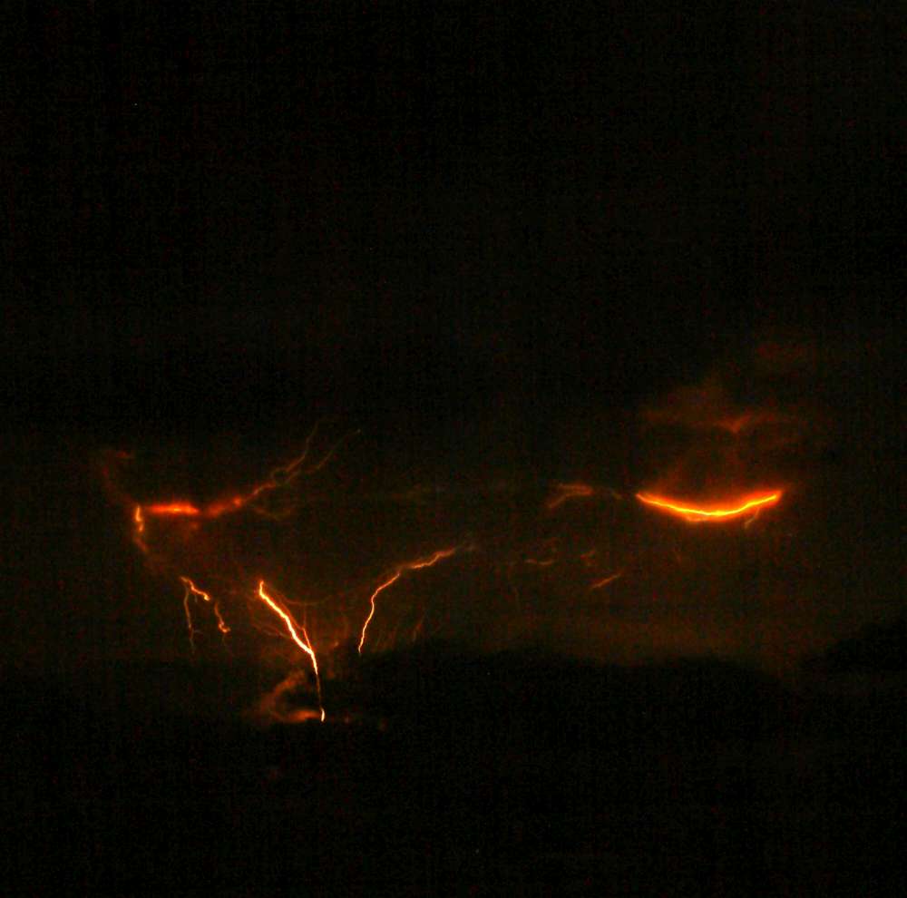
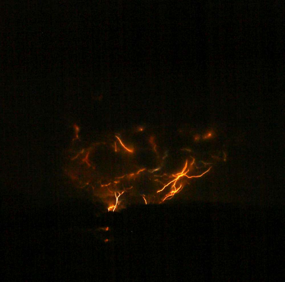
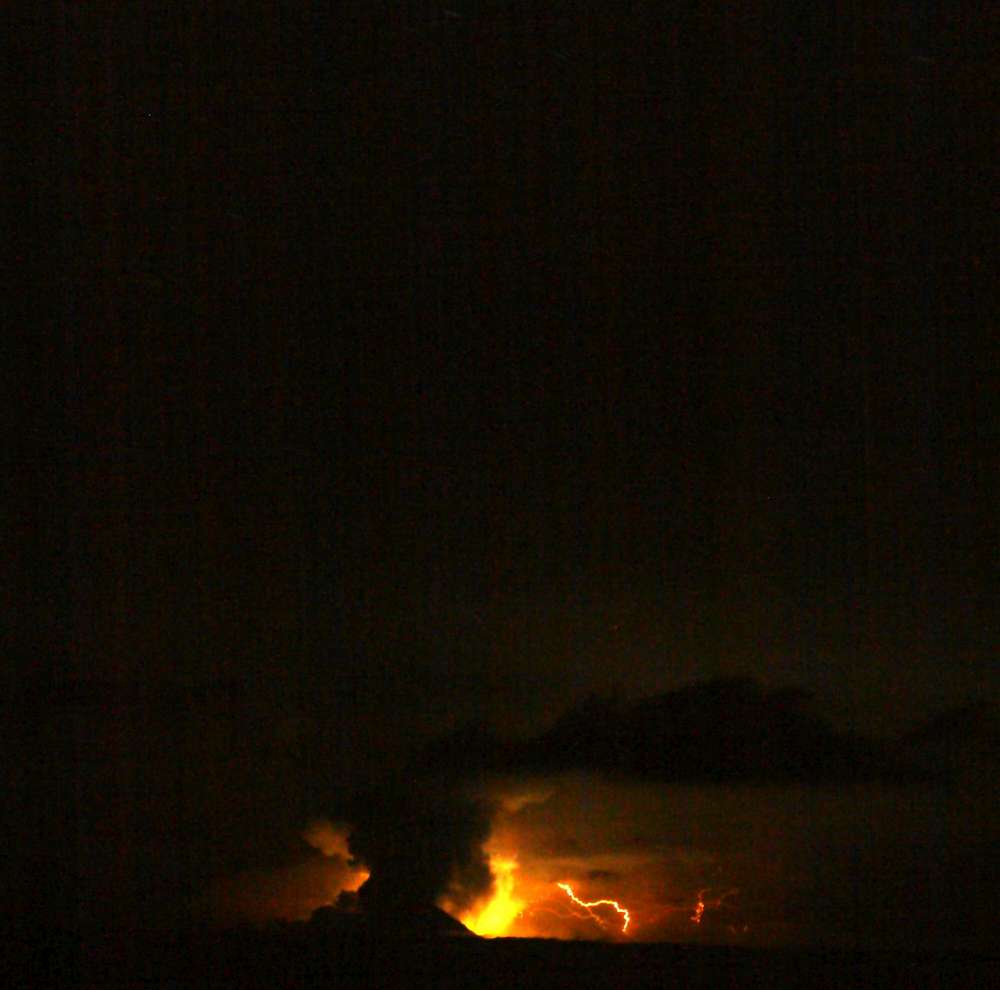
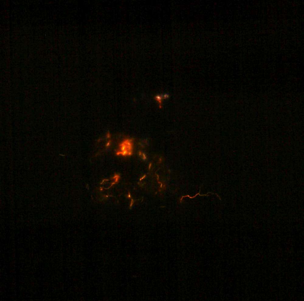
By mid-March 2009, seismicity had intensified significantly. On March 15, Redoubt produced its first phreatic explosion, a steam-driven blast that marked the beginning of eruptive activity. This event was followed by a series of increasingly powerful explosions starting on March 22, which launched ash plumes up to 60,000 feet and triggered lahars that flowed down the Drift River valley.

Thanks to months of preparation, the USGS and AVO were able to issue timely warnings that helped mitigate risks to aviation, infrastructure, and nearby communities.