

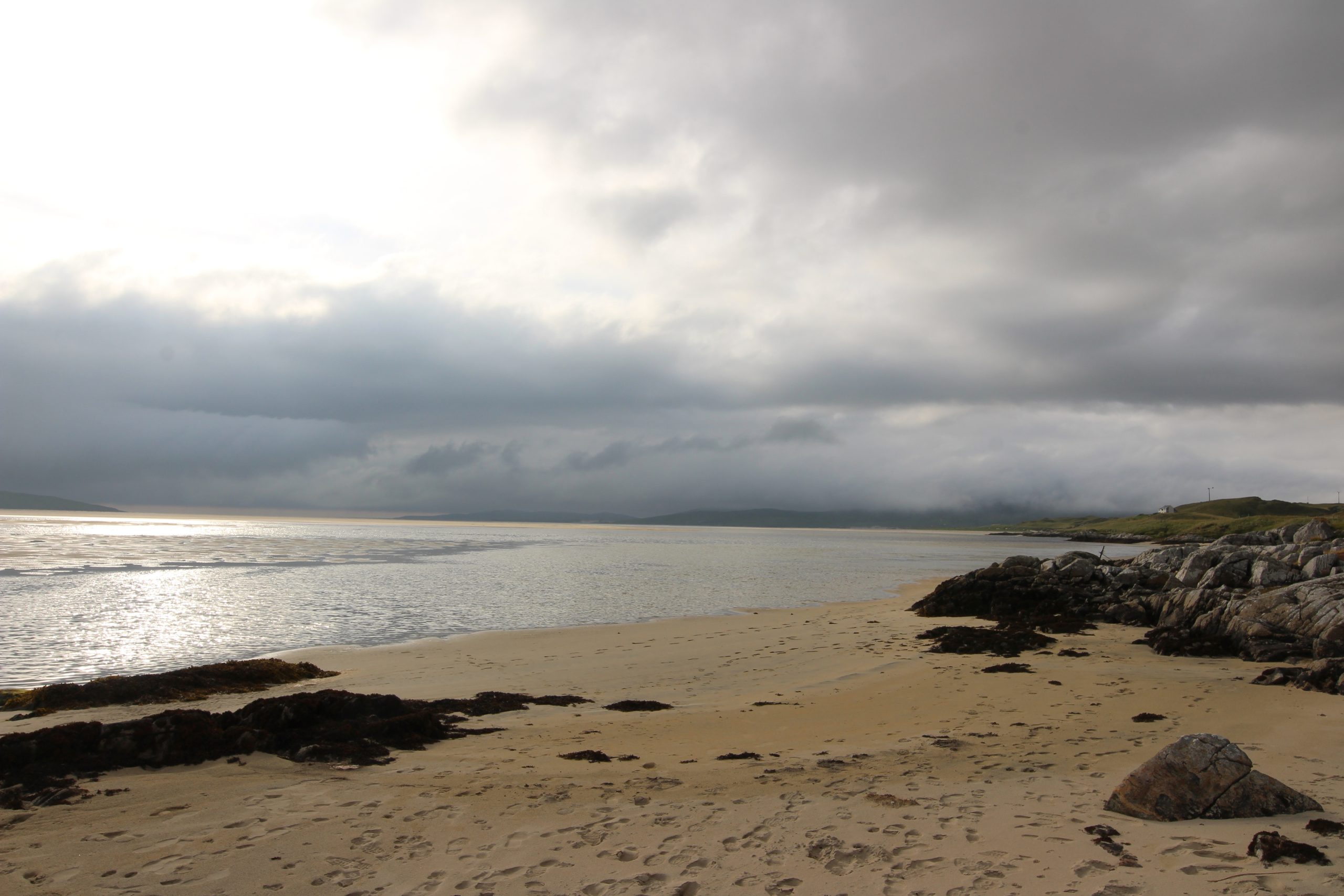


When people imagine Scotland, they often picture rugged mountains, misty glens, and ancient castles—not a beach that rivals the Caribbean in beauty. Yet on the west coast of the Isle of Harris lies Luskentyre Beach (Losgaintir), a shimmering expanse of white sand and turquoise waters that consistently ranks among the most beautiful beaches in the world. Remote, wild, and breathtaking, Luskentyre is more than a scenic spot—it’s a living part of Harris’s cultural and ecological story.
Where Is Luskentyre?
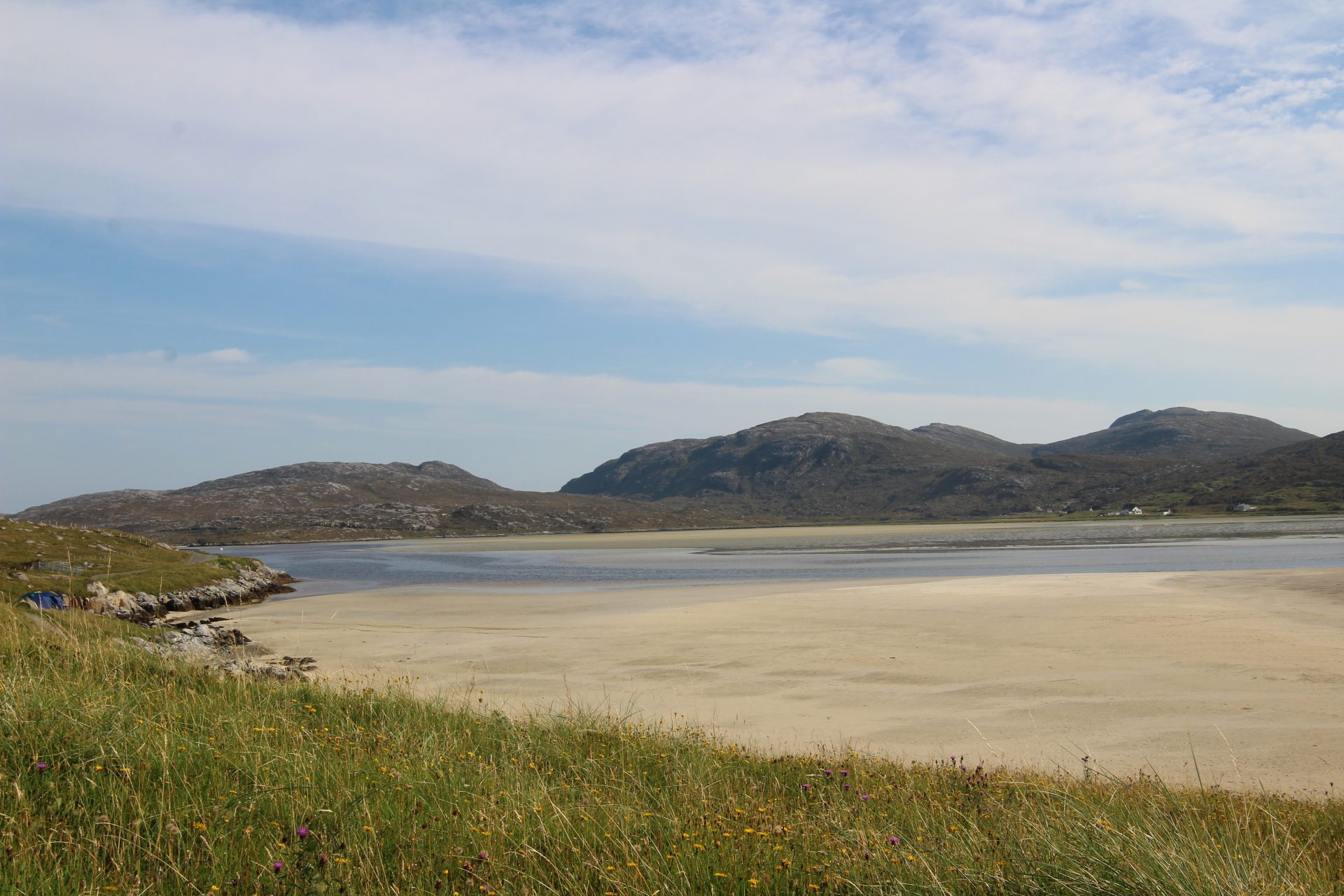
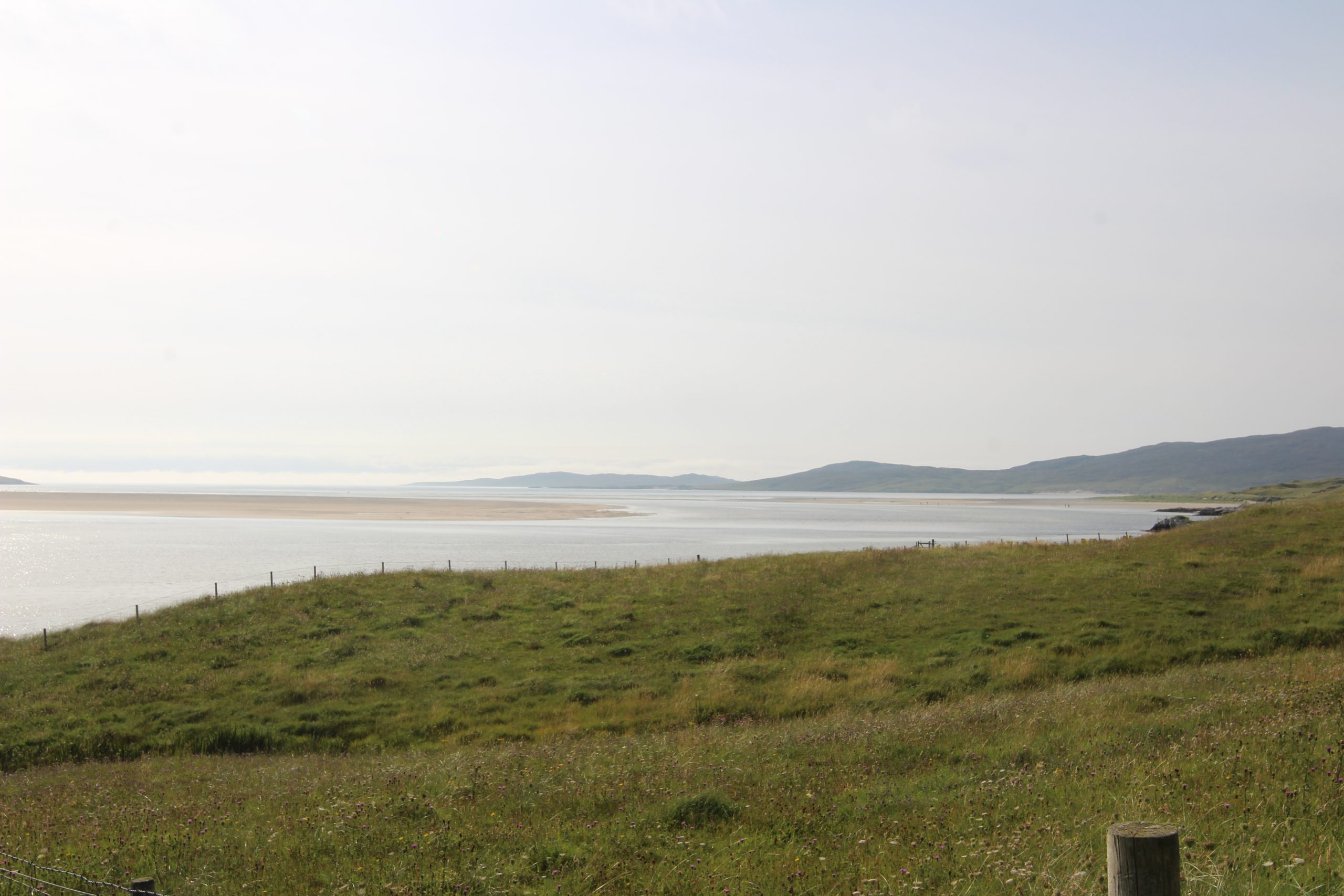
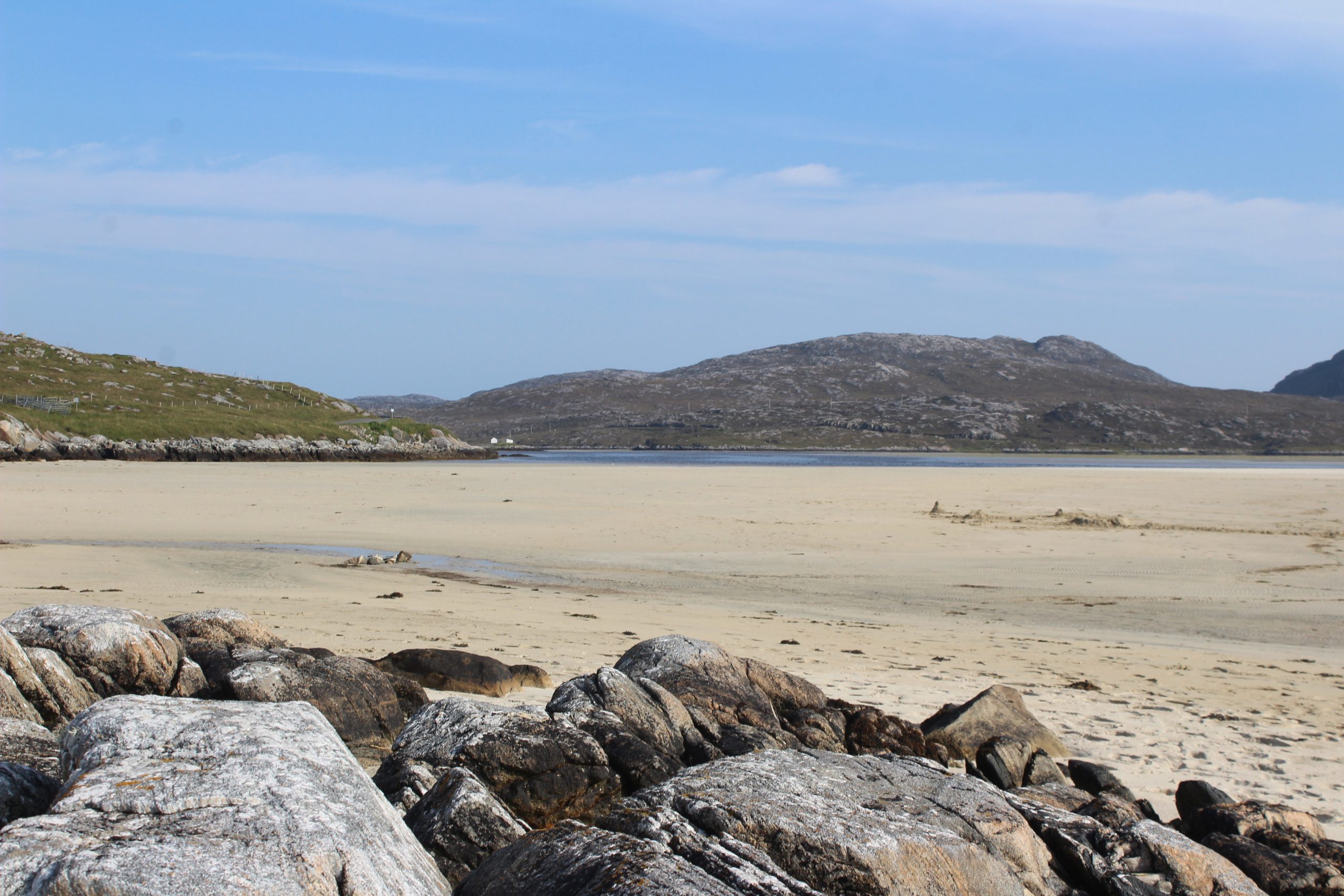
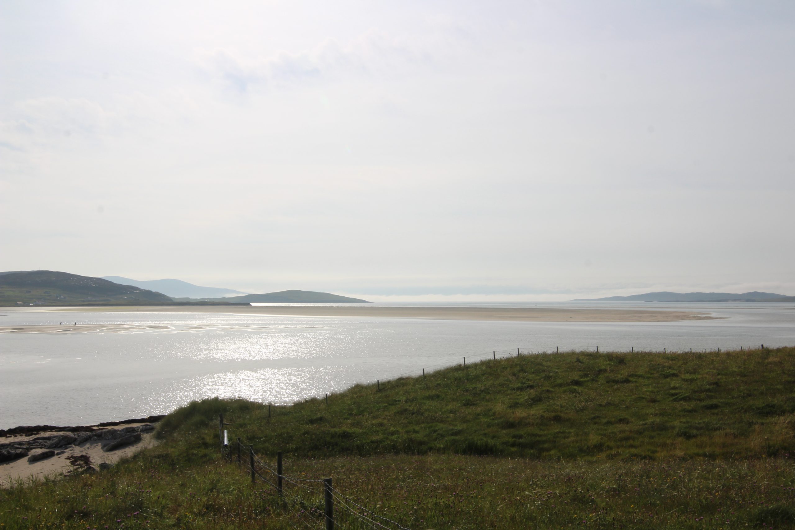
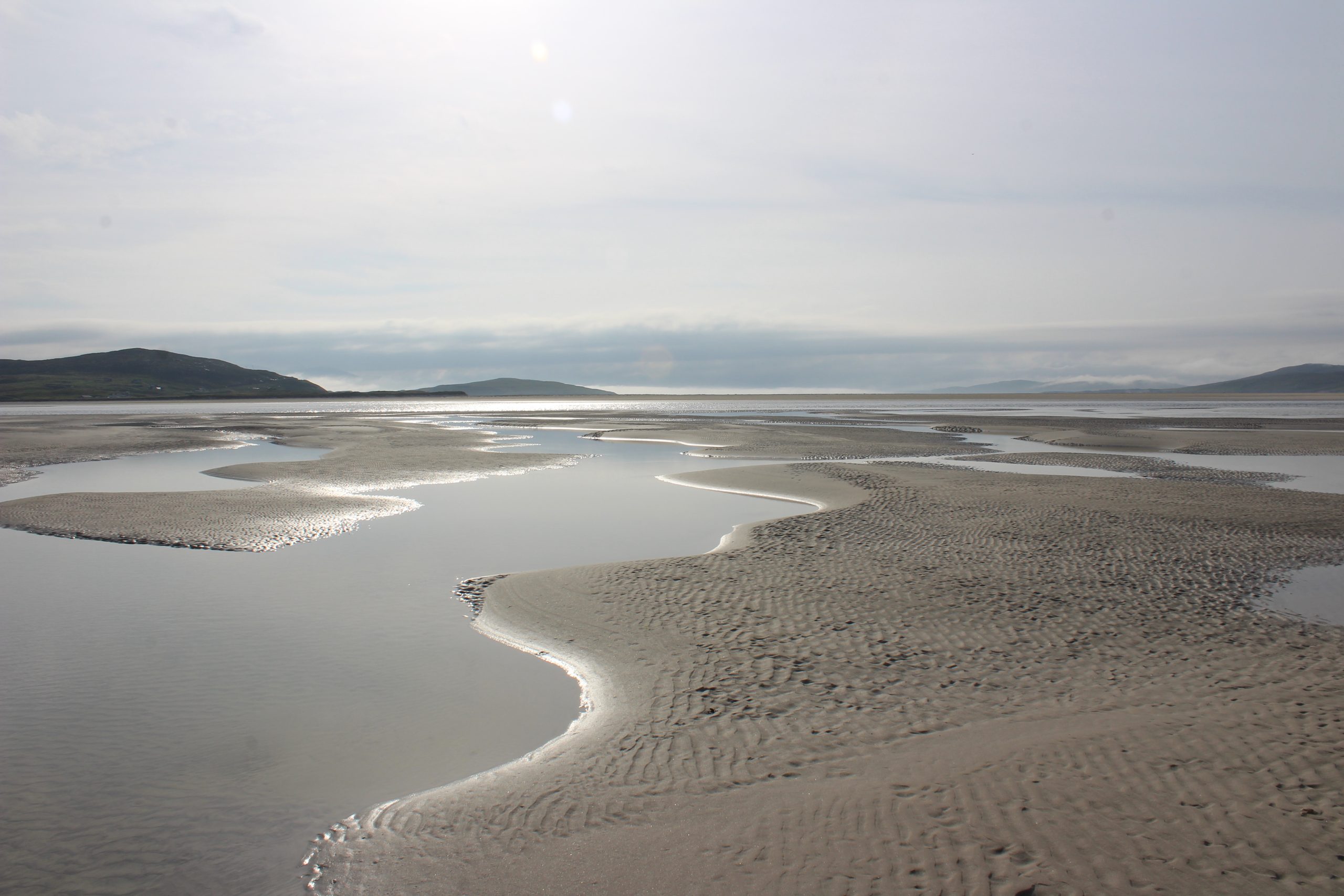
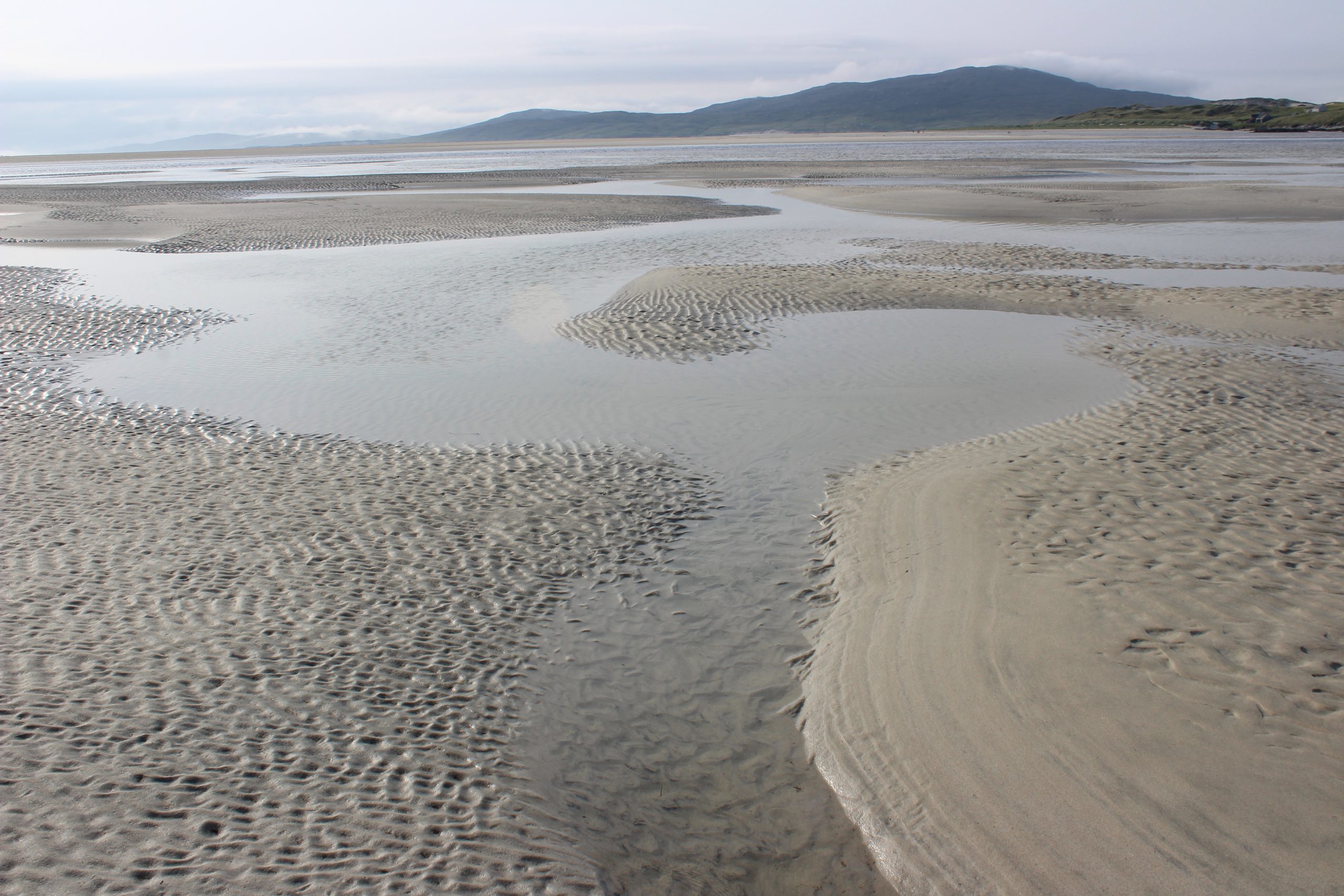
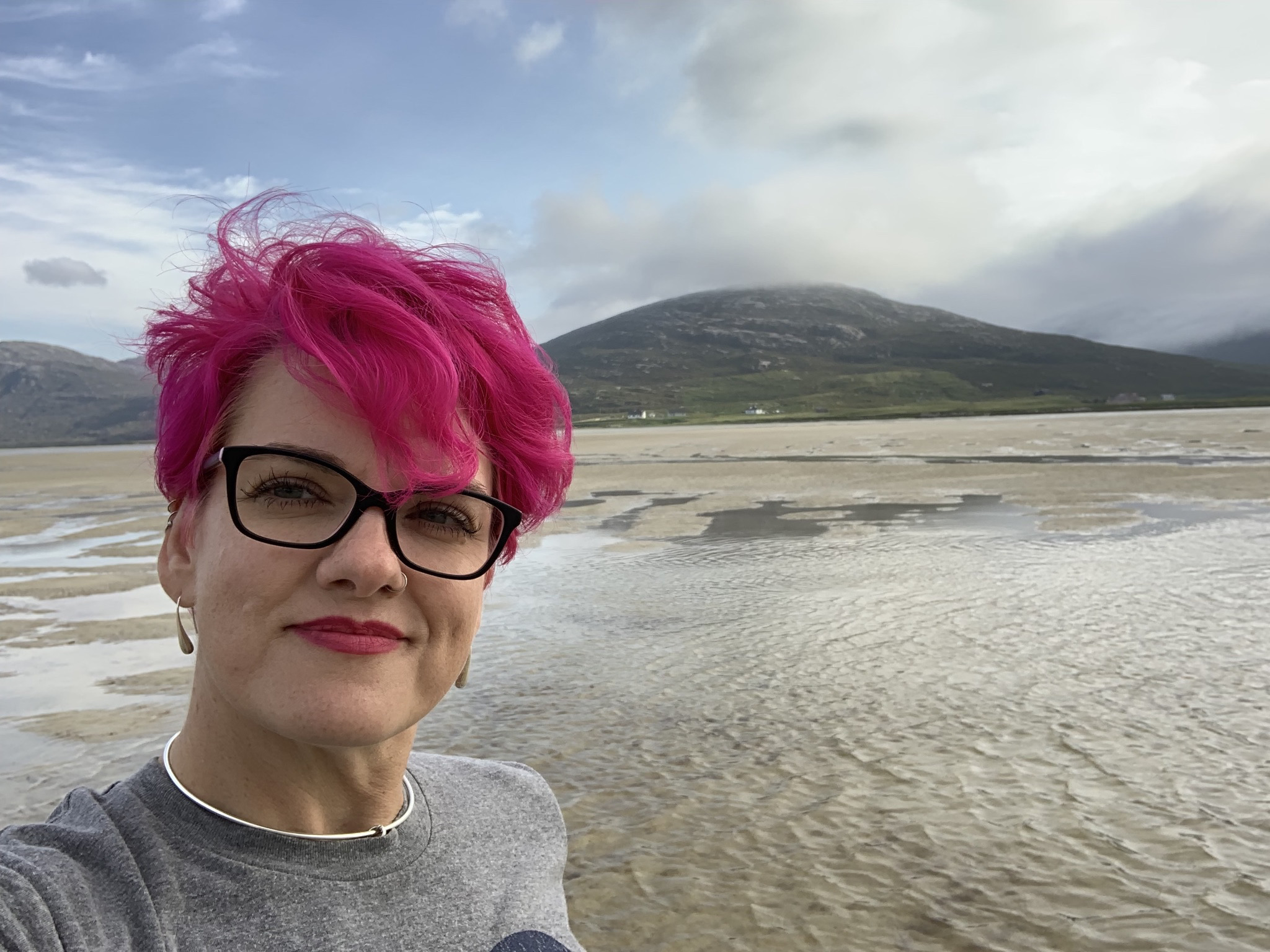
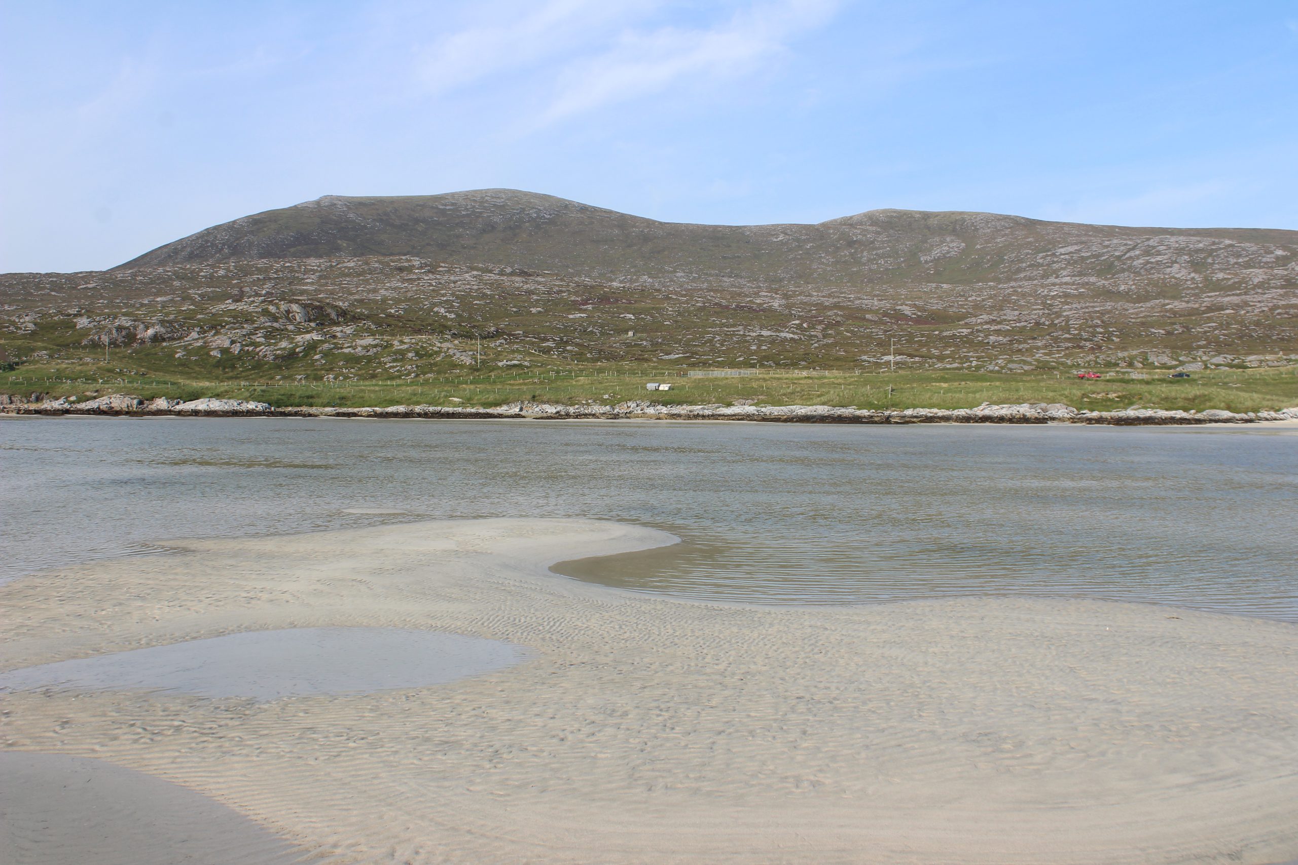
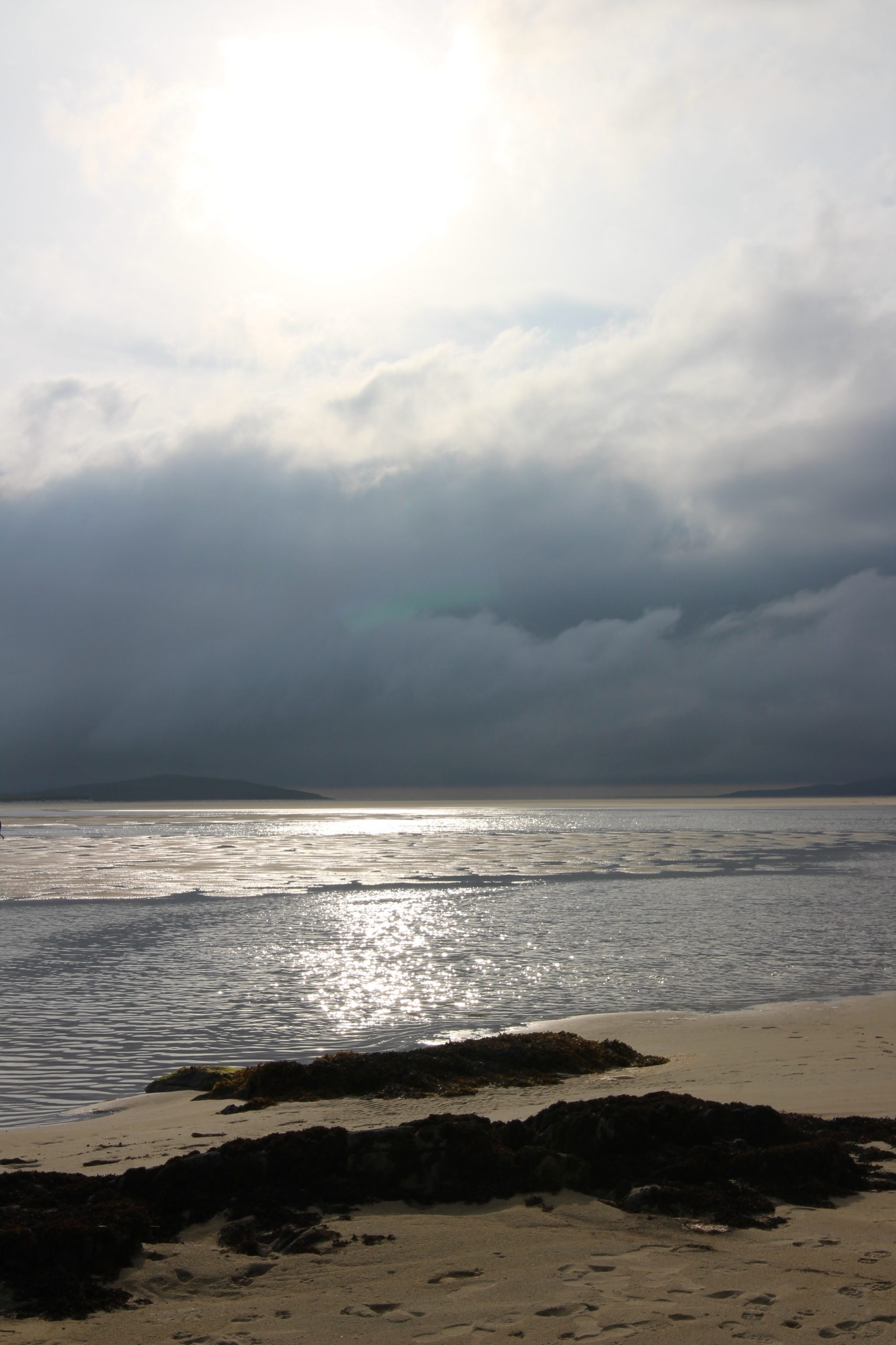
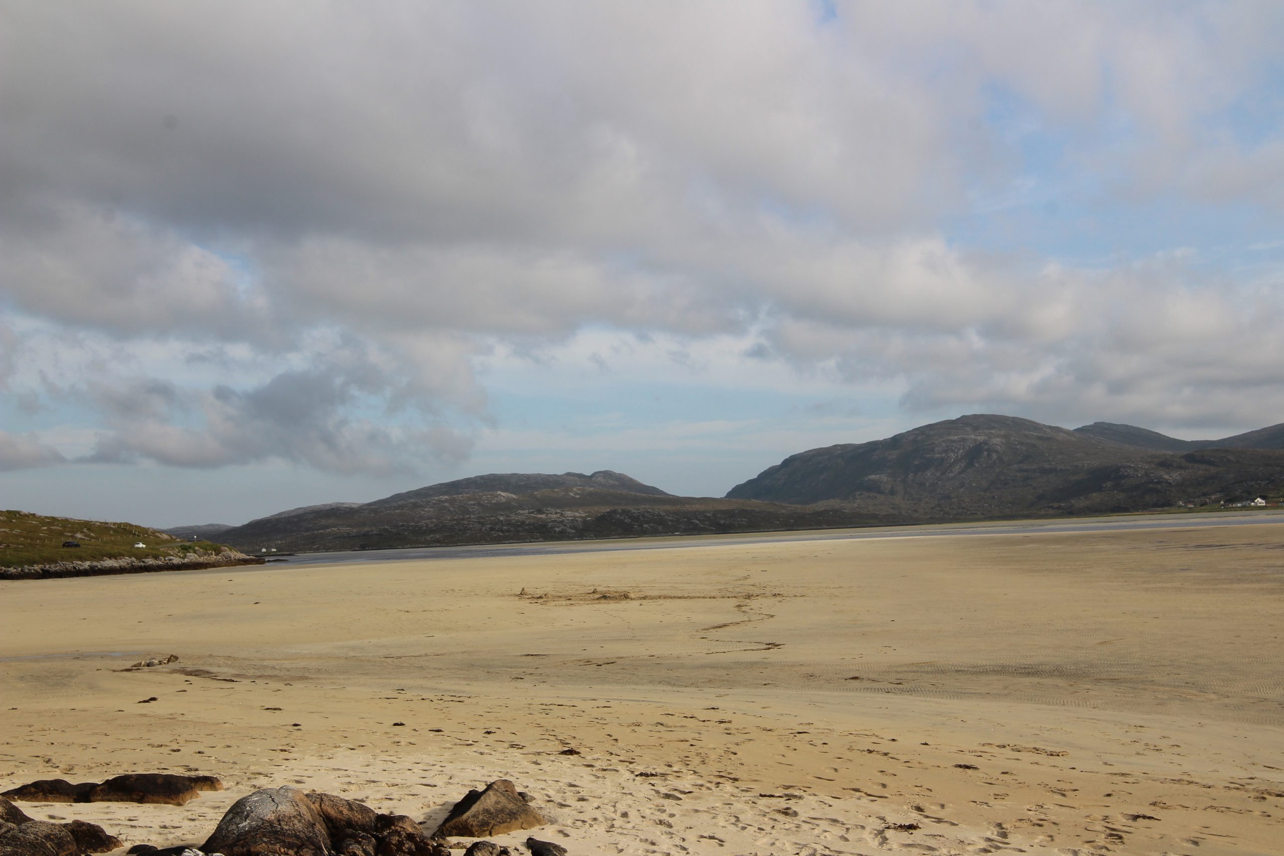
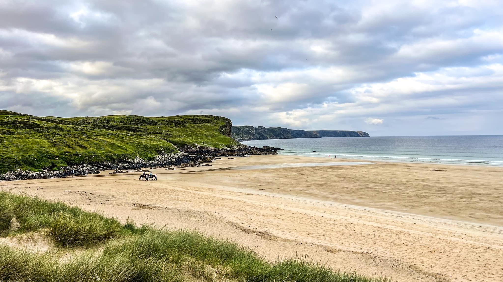
Luskentyre sits on the western edge of South Harris in the Outer Hebrides, facing the Atlantic Ocean and looking out toward the island of Taransay, famous as the setting for the BBC’s Castaway series. The beach stretches for miles along a wide bay, backed by rolling dunes and the rare coastal grassland known as machair, which bursts into color with wildflowers in summer. Behind the dunes rise the rugged Harris hills, including distant views of Clisham, the highest peak in the Outer Hebrides. This interplay of sea, sand, and mountain creates a landscape so dramatic that first-time visitors often compare it to tropical islands—until they dip a toe in the chilly Atlantic.
A Landscape Sculpted by Nature
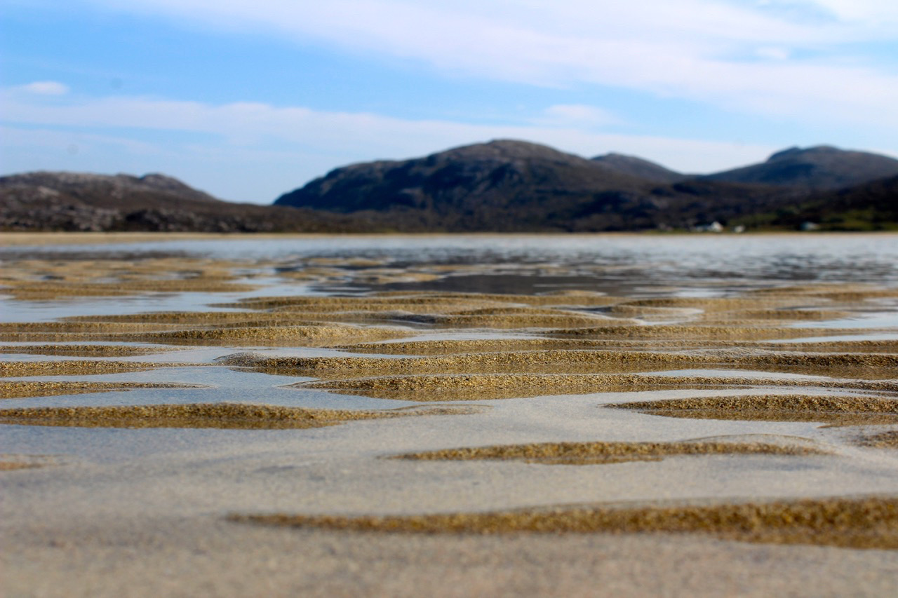
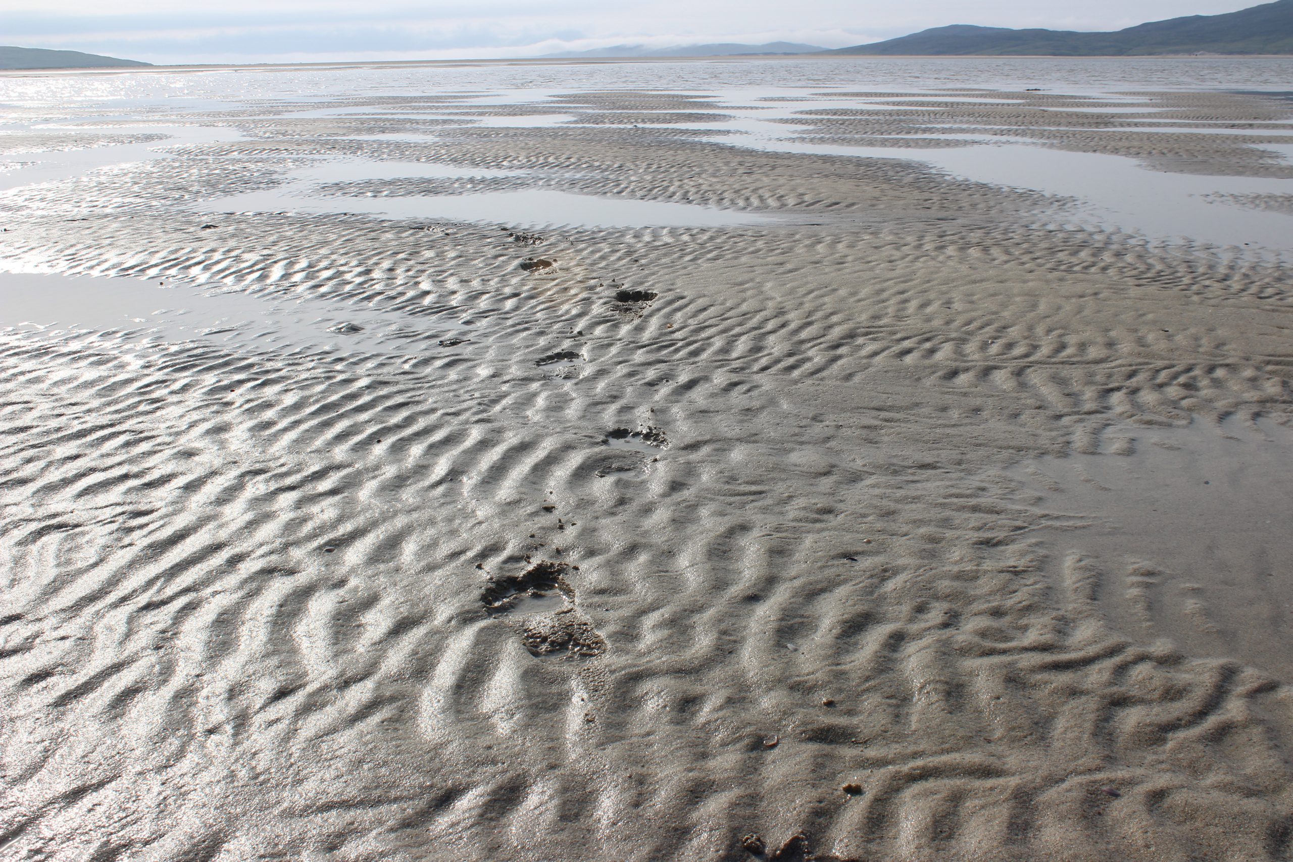
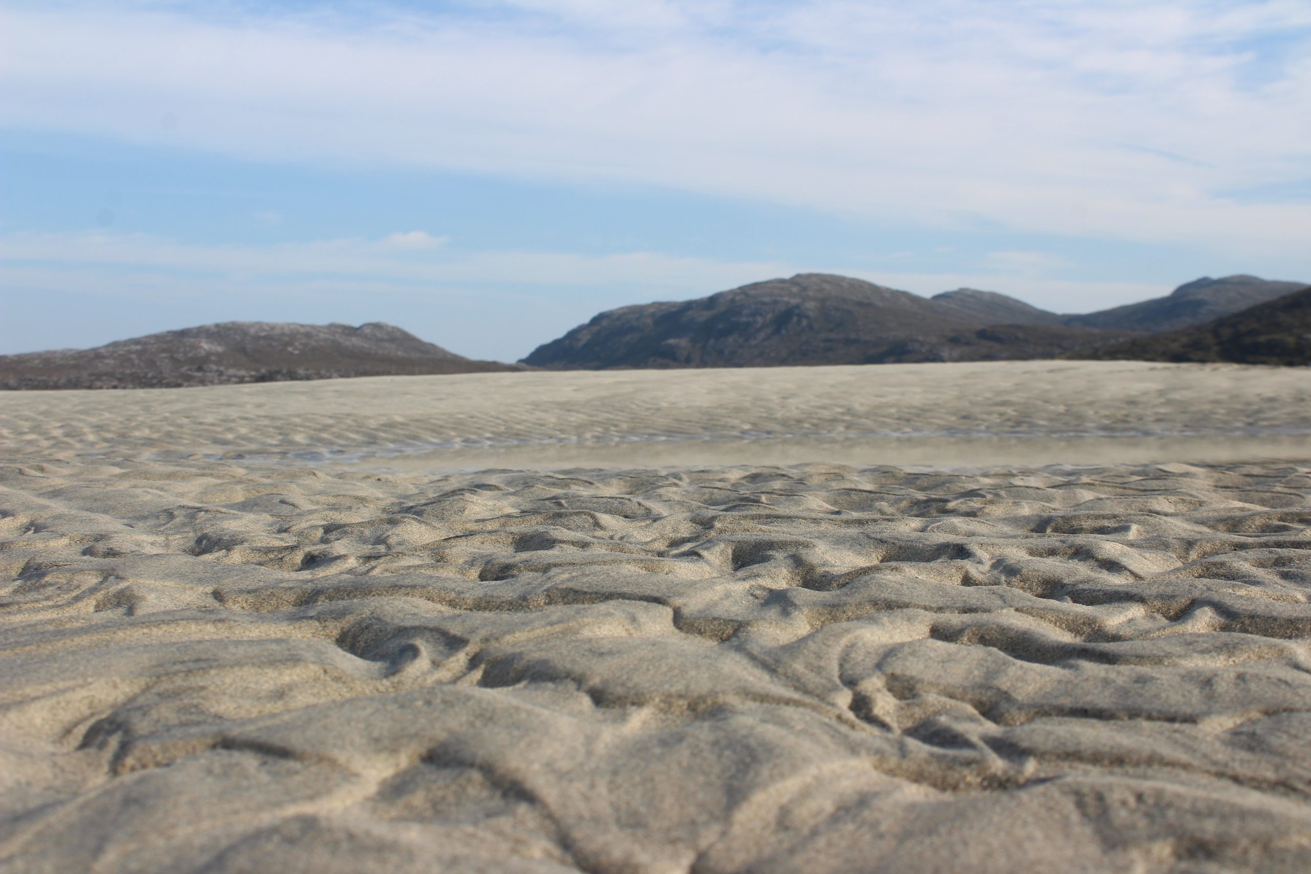
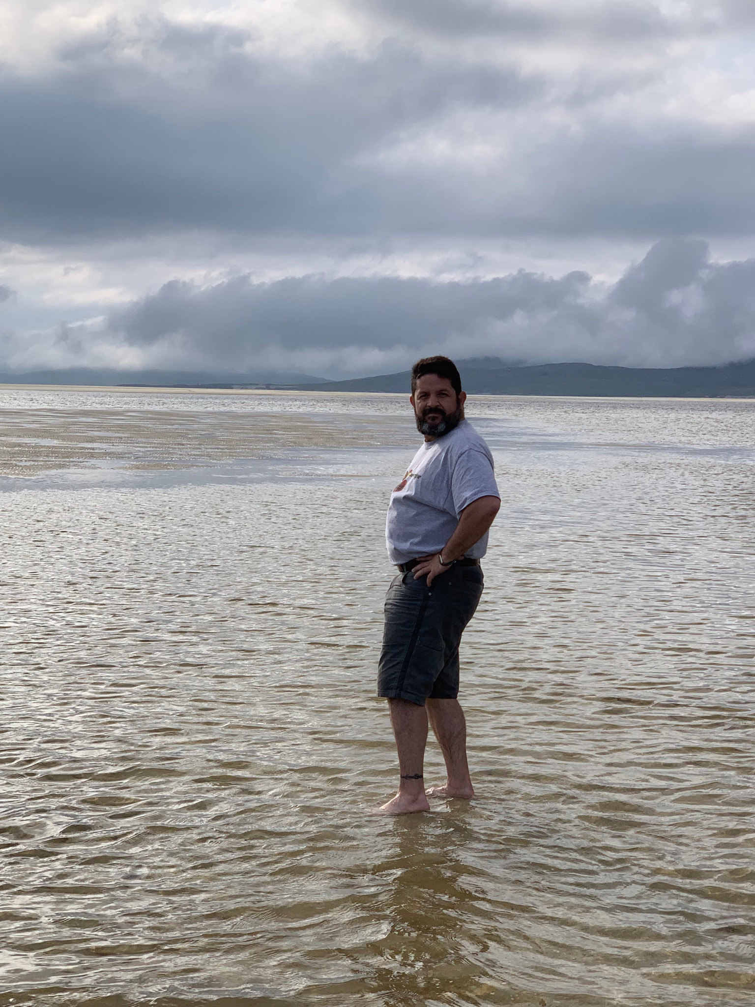
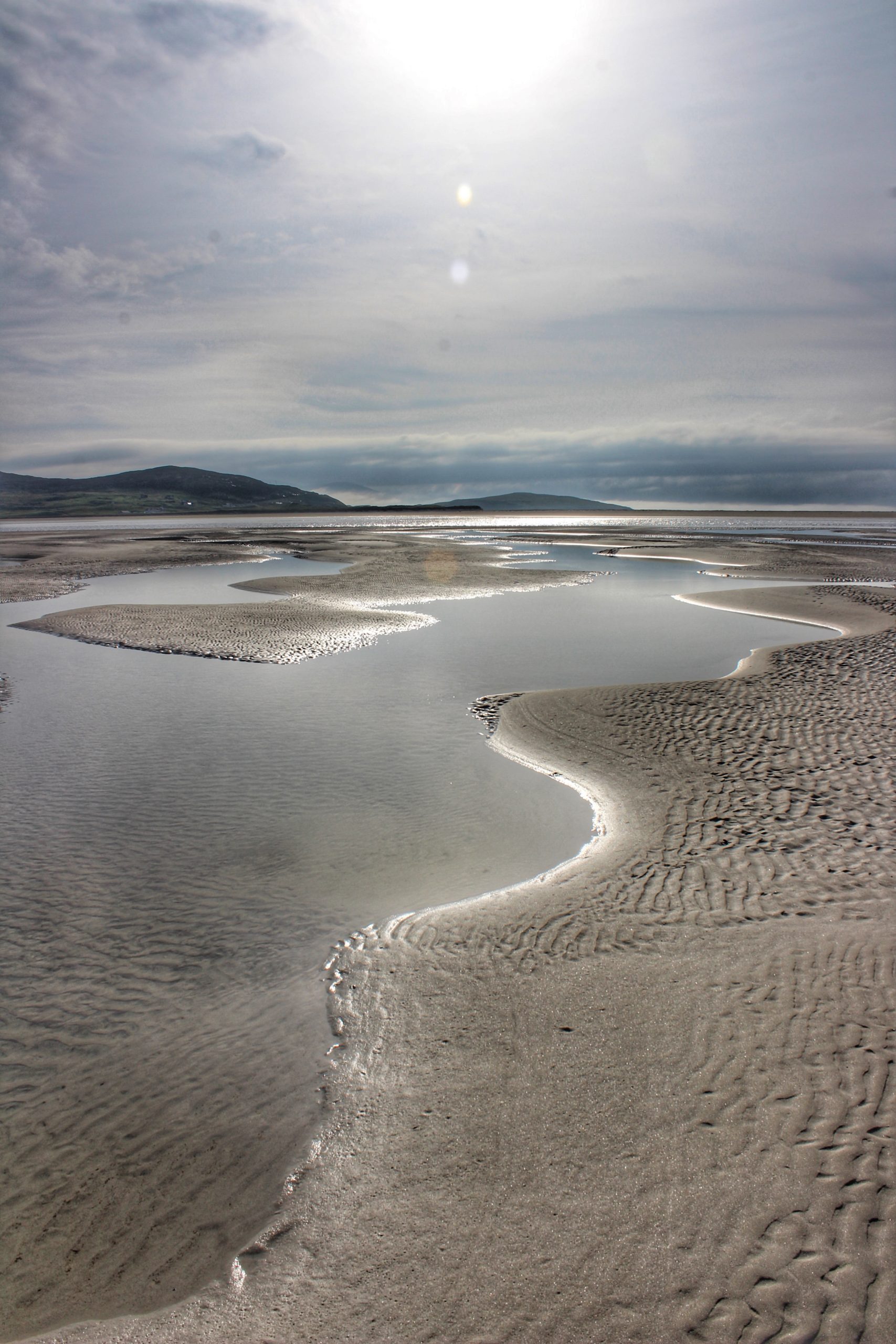
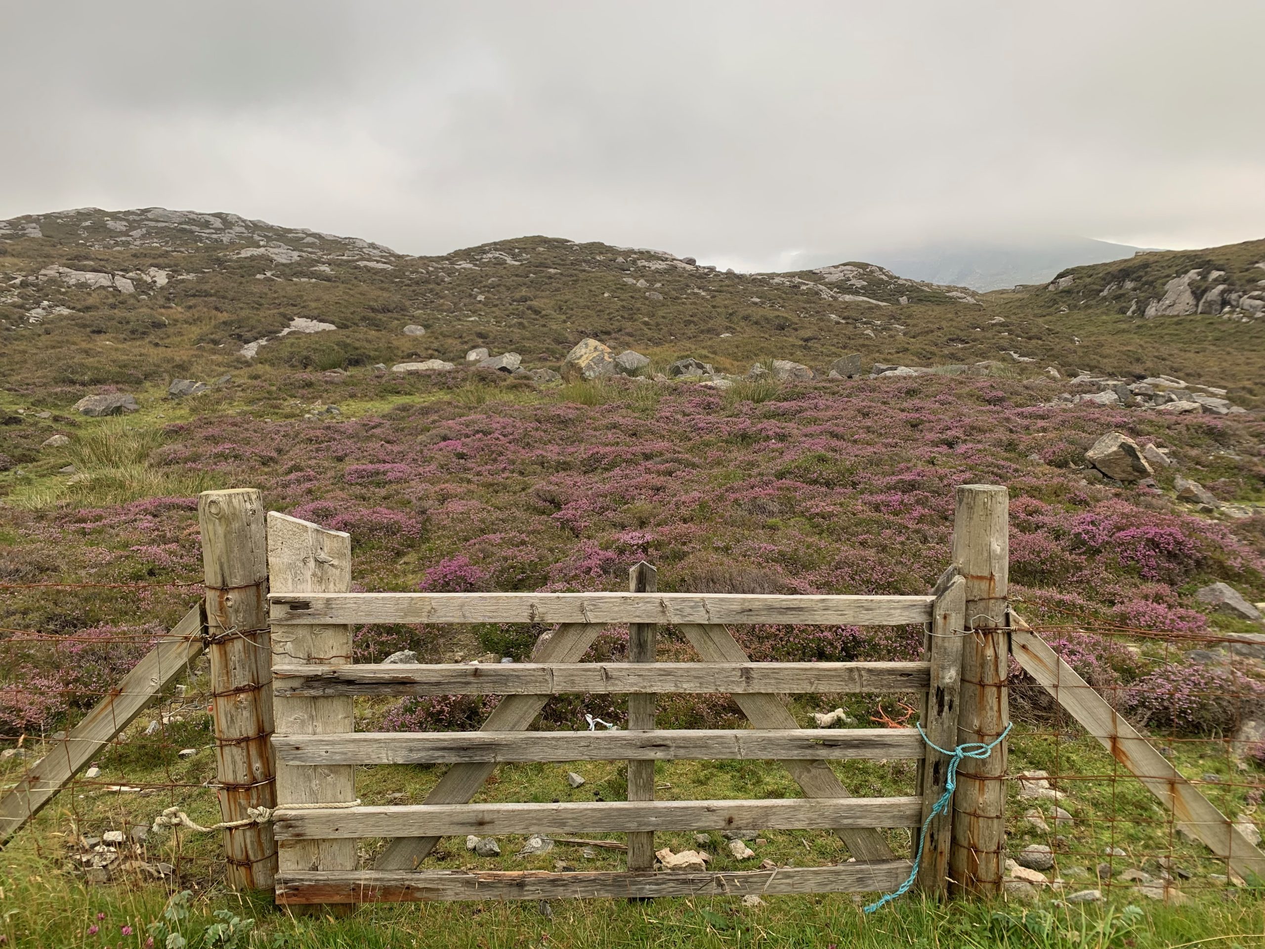
Luskentyre’s beauty is rooted in geology and climate. Its sands are composed of finely ground shells and quartz, giving them a dazzling white hue that contrasts with the aquamarine shallows. At low tide, the beach expands into vast sandflats, revealing tidal pools that mirror the sky and attract wading birds. The machair behind the dunes is a unique habitat found only in northwestern Scotland and Ireland, supporting orchids, daisies, and rare grasses. This floral richness draws pollinators and provides nesting grounds for species like lapwings and terns.
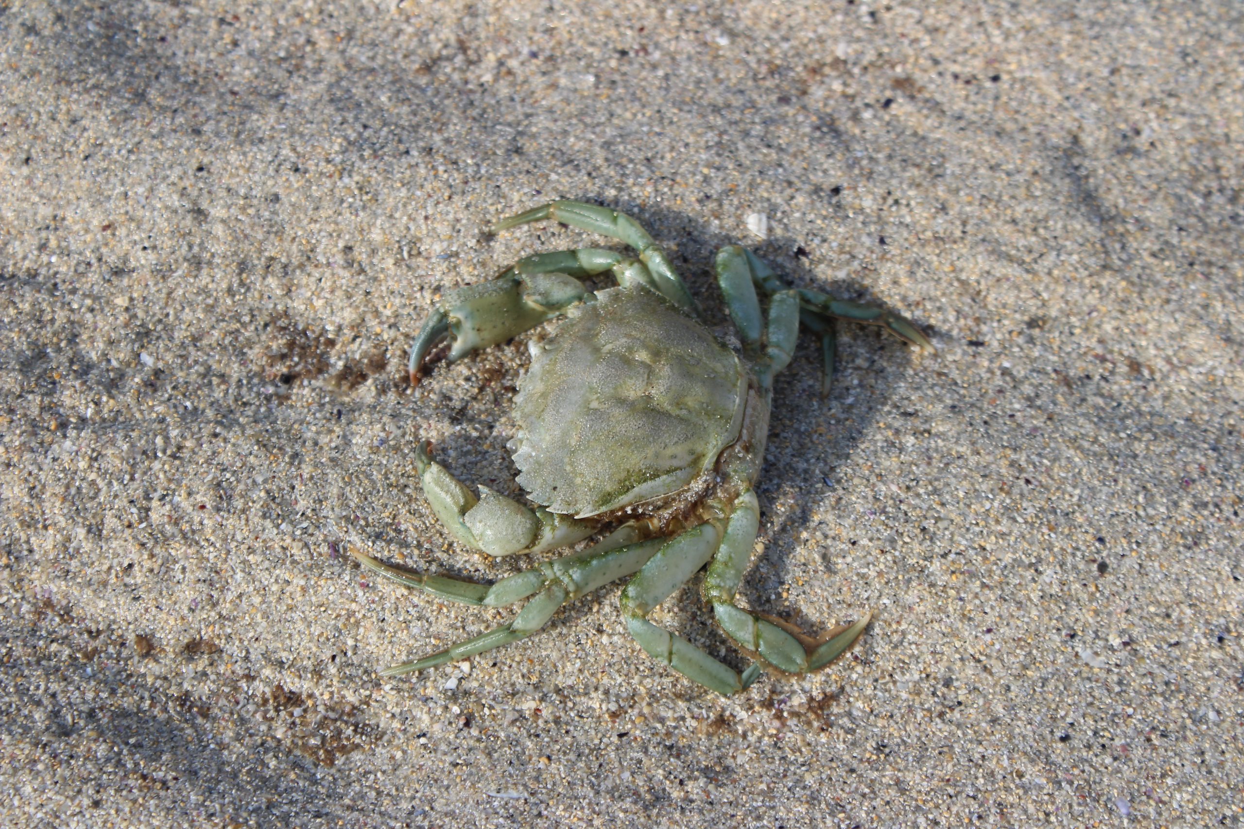
Wildlife thrives here. Seals bask on offshore skerries, while otters slip through the tidal channels. Offshore, you might glimpse porpoises or even dolphins. Overhead, sea eagles patrol the coast, and in winter, divers and scoters feed in the bay. For photographers and nature lovers, Luskentyre offers an ever-changing canvas of color, light, and life.
A Cultural and Historical Backdrop
Though today Luskentyre feels untouched, it is part of a landscape shaped by human hands for millennia. The name derives from Gaelic roots meaning “headland fort,” though no fort survives. Behind the beach, the machair was traditionally used for crofting, a form of small-scale farming that combined livestock grazing with cereal cultivation. Crofting helped maintain the open grasslands and prevented scrub from overtaking the dunes—a reminder that even the wildest Hebridean scenes often carry the imprint of human stewardship.
The Isle of Harris itself has a layered history, from prehistoric settlers to Norse occupation and later the dominance of Highland clans. Today, Gaelic remains widely spoken, and the rhythms of island life—community, craft, and seasonal work—continue to shape the cultural identity of Harris. Visiting Luskentyre is not just about admiring a view; it’s about stepping into a living heritage.
Legends and Folklore of Luskentyre
Like many places in the Hebrides, Luskentyre is steeped in stories that blur the line between land and myth. Locals speak of the Blue Men of the Minch, supernatural mariners said to haunt the waters between Harris and the mainland. These beings were believed to foretell storms and disasters; if they hailed a ship and the captain failed to answer correctly, the vessel was doomed. While sightings are rare today, the legend lingers in island lore, adding a shiver of mystery to the turquoise calm.
Another tale whispers of selkies, the seal-people who shed their skins to dance on moonlit sands. In some versions, a crofter at Luskentyre once stole a selkie’s skin, binding her to human life until she found it hidden beneath a stone and fled back to the sea. Stories like these echo the intimacy between islanders and the ocean—a relationship of sustenance and awe, fear and fascination.
And then there is Taransay, visible from Luskentyre’s shore, said to be haunted by the spirits of clans who fought and died there centuries ago. On still nights, some claim to hear faint voices carried across the Sound—a reminder that beauty here is layered with memory.
What to Do at Luskentyre
1. Walk the Sands
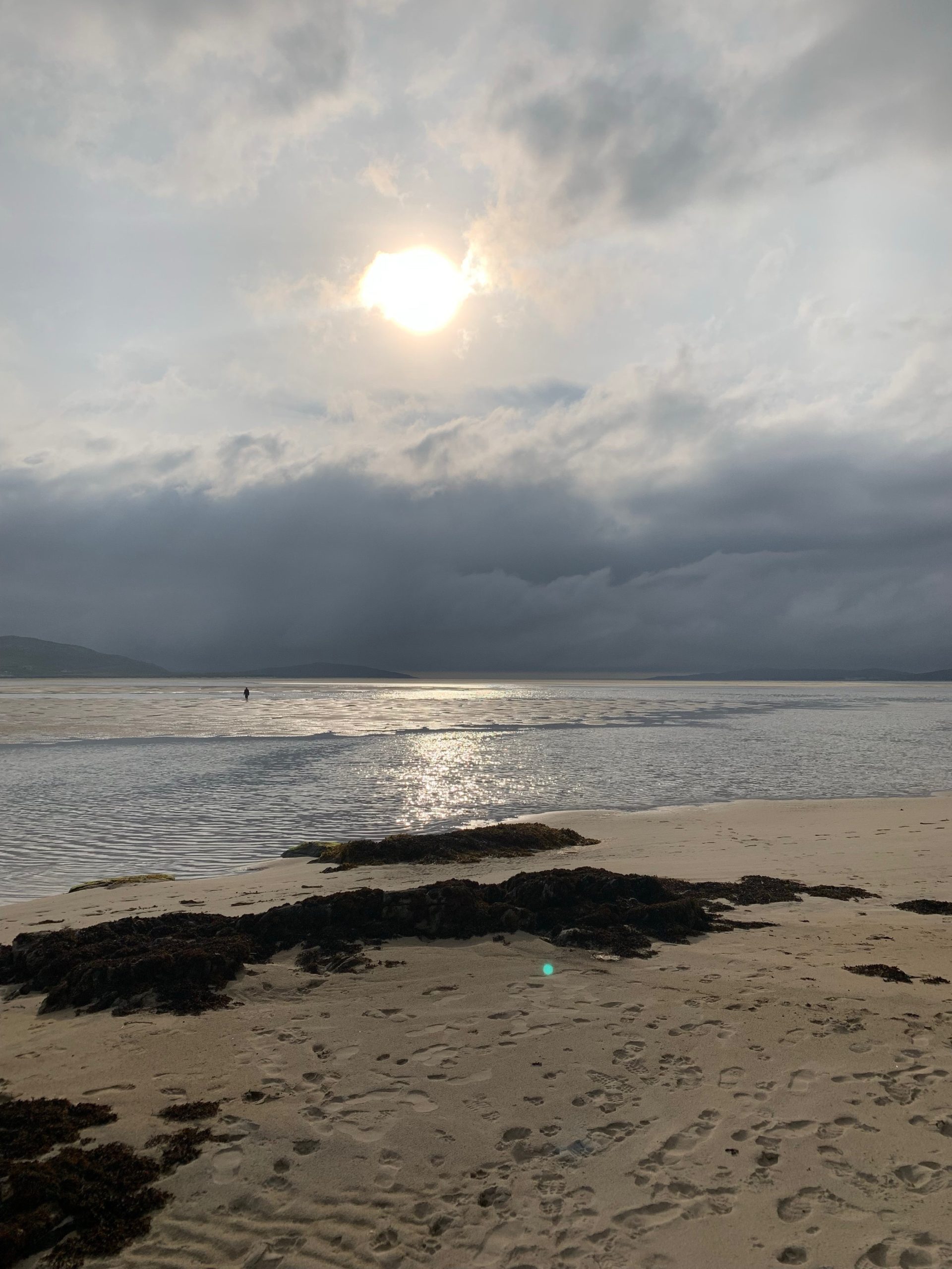
The simplest and most rewarding activity is a long walk. At low tide, Luskentyre and neighboring Seilebost Beach merge into a single sweep of sand stretching across the Sound of Taransay. The views shift with every step: turquoise shallows, distant hills, and the changing drama of Hebridean skies.
2. Photography
Bring your camera—or just your eyes. Early morning and late evening light can turn the bay into a painter’s palette, with pink skies reflected in tidal pools and shadows carving patterns across the dunes.
3. Wildlife Watching
Scan the shoreline for seals and the skies for eagles. Birdwatchers will find plenty to note, from waders probing the sand to gulls riding the wind.
4. Cycling and Horse Riding
The single-track road to Luskentyre is a favorite for cyclists, offering panoramic views at every bend. Occasionally, you might see horses trotting along the beach—a scene straight out of a travel poster.
5. Wild Swimming and Water Sports
Yes, you can swim—but be warned, the water rarely rises above 12°C. A wetsuit is essential for anything beyond a quick dip. Kayaking and paddleboarding are possible in calm conditions, and local operators sometimes offer guided trips.
6. Wild Camping
For those seeking solitude, wild camping near Luskentyre can be magical—though it comes with responsibilities. Leave no trace, respect the land, and check local guidelines before pitching a tent.
Practical Tips for Visiting
- Getting There: From Tarbert, follow the A859 south toward Scarista and turn off at Seilebost onto Luskentyre Road. The road is single-track and about three miles long, ending at a small car park.
- Parking: Spaces are limited in summer, so arrive early or visit outside peak hours. Please respect the adjacent graveyard and park only in designated areas.
- Access: From the car park, it’s a short walk over dunes to the beach. The path is sandy and uneven—not ideal for buggies.
- Best Time: Aim for low tide to see the beach at its most expansive. Summer offers long daylight and vibrant colors, but winter brings its own stark beauty and solitude.
- Facilities: There are no shops or cafés at the beach itself, though a small hut sometimes sells snacks and souvenirs. Public toilets may be available near the car park (donation appreciated).
- Weather: Hebridean weather is famously changeable. Pack layers, waterproofs, and sturdy shoes—even in summer.
Why Luskentyre Captures the Imagination
Luskentyre is more than a postcard-perfect beach. It’s a place where contrasts meet: Atlantic wildness and delicate machair flowers, ancient hills and shifting tides, human history and elemental forces. It invites you to slow down, breathe deeply, and let the vastness recalibrate your sense of scale. Whether you come for a windswept winter walk or a golden-hour summer stroll, Luskentyre leaves an imprint that lingers long after you’ve left the sands behind—along with a whisper of selkies and the shimmer of old stories in the tide.
Here are some fantastic hiking trails near Luskentyre Beach and across Harris that combine stunning scenery with varying levels of challenge:
✅ 1. Luskentyre Beach Circular Walk
- Distance: ~2 miles (3.2 km)
- Difficulty: Easy
- Highlights: Start at the Luskentyre car park, cross dunes to the beach, then loop back via a quiet single-track road. Expect dazzling sands, turquoise waters, and maybe sightings of Harris ponies or Highland cows.
- Tip: Perfect for a short stroll after enjoying the beach. Dog-friendly and family-friendly.1
✅ 2. Traigh Rosamol & Luskentyre Sands
- Distance: ~2.2 miles
- Difficulty: Easy
- Highlights: A gentle walk along the northern stretch of Luskentyre Sands (Traigh Rosamol) with views of Taransay and North Harris mountains.
- Tip: Check tide times—at high tide, parts of the route are impassable.2
✅ 3. Beinn Dhubh & Beinn Losgaintir
- Distance: ~11 km (7 miles)
- Difficulty: Moderate
- Highlights: A hill walk above Luskentyre offering panoramic views of Seilebost, Taransay, and South Harris hills. The summit rewards you with one of the best vantage points in the Hebrides.
- Tip: Save this hike for a clear day—views are the main attraction. Waterproof boots recommended.3
✅ 4. Coffin Road: Bealach Erobhat
- Distance: ~6.8 miles (11 km)
- Difficulty: Moderate
- Highlights: Historic route once used for carrying coffins across Harris. Today, it’s a scenic moorland trail with views toward Luskentyre and the west coast beaches.
- Tip: Good option if you want a longer inland hike with cultural history.4
✅ 5. Frith-Rathad na Hearadh (Hebridean Way Section)
- Distance: ~23 miles (37 km)
- Difficulty: Hard
- Highlights: A challenging section of the Hebridean Way, passing Scarista, Horgabost, and Luskentyre beaches. Incredible coastal scenery and remote moorland.
- Tip: Best for experienced hikers—plan for a full day and variable terrain.4
✅ 6. Northton & Ceapabhal
- Distance: ~6.6 km
- Difficulty: Moderate
- Highlights: Start near Northton and climb Ceapabhal for sweeping views over South Harris beaches, including Scarista and Luskentyre.
- Tip: Combine with a visit to Northton’s five beaches for a full day of coastal exploration.5
✅ 7. Scalpay & Eilean Glas Lighthouse
- Distance: ~10.8 km
- Difficulty: Moderate
- Highlights: A circular walk on the island of Scalpay (connected by bridge), ending at the historic lighthouse with views over the Minch.
- Tip: Great mix of cultural history and wildlife spotting.5
Quick Insider Tip
For jaw-dropping photography, the Beinn Dhubh hike is unbeatable. If you prefer something gentler, the Luskentyre circular walk or Traigh Rosamol stroll will give you postcard-perfect views without the climb.

Leave a reply
You must be logged in to post a comment.