
Grand Canyon vs. Bryce Canyon: Two Icons, Two Stories Written in Stone
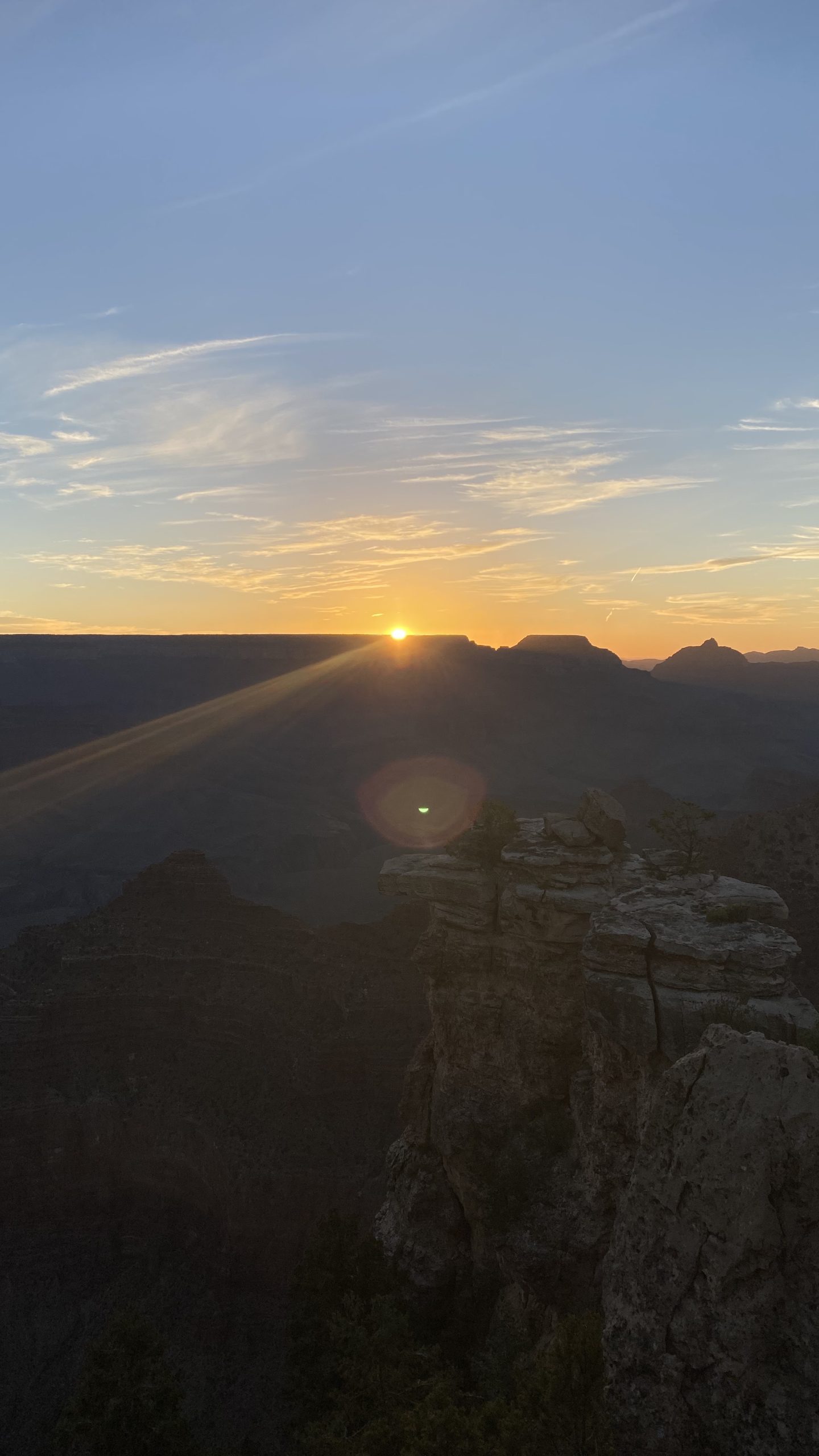
Few landscapes anywhere on Earth stop you in your tracks like Grand Canyon National Park in Arizona and Bryce Canyon National Park in Utah. Both are etched into the high country of the Colorado Plateau, both glow with improbable reds and creams at sunrise and sunset, and both are showcases for the slow genius of erosion. Yet they could hardly be more different. One is an immense chasm—a time machine that reveals nearly two billion years of Earth’s history in its walls. The other is a series of amphitheaters—a whimsical forest of stone where spires, windows, and fins rise like an army of statues. Here’s how to understand each place on its own terms—and how to compare their geology in a way that deepens the experience of both.
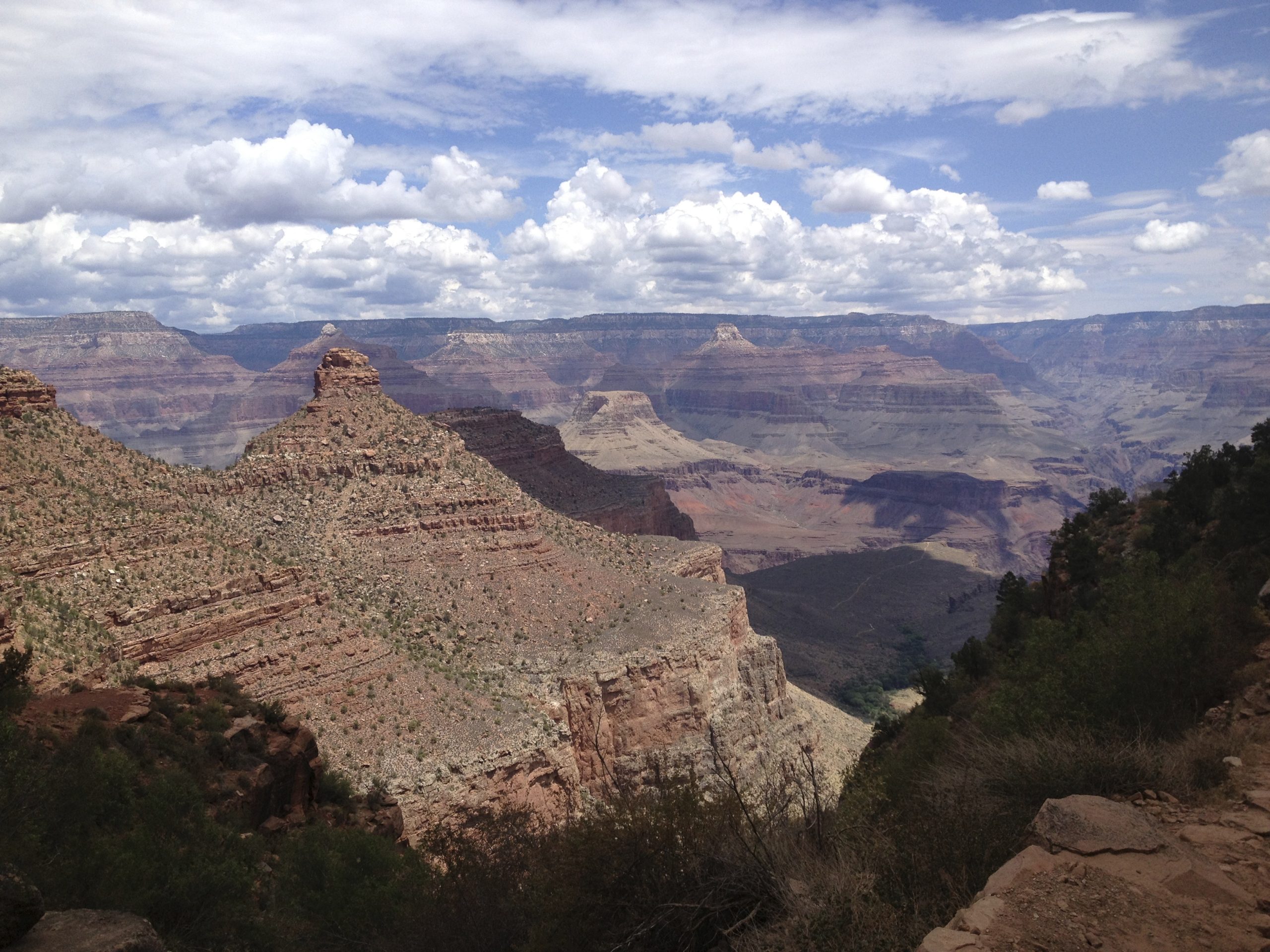
The Grand Canyon: A Monument to Deep Time
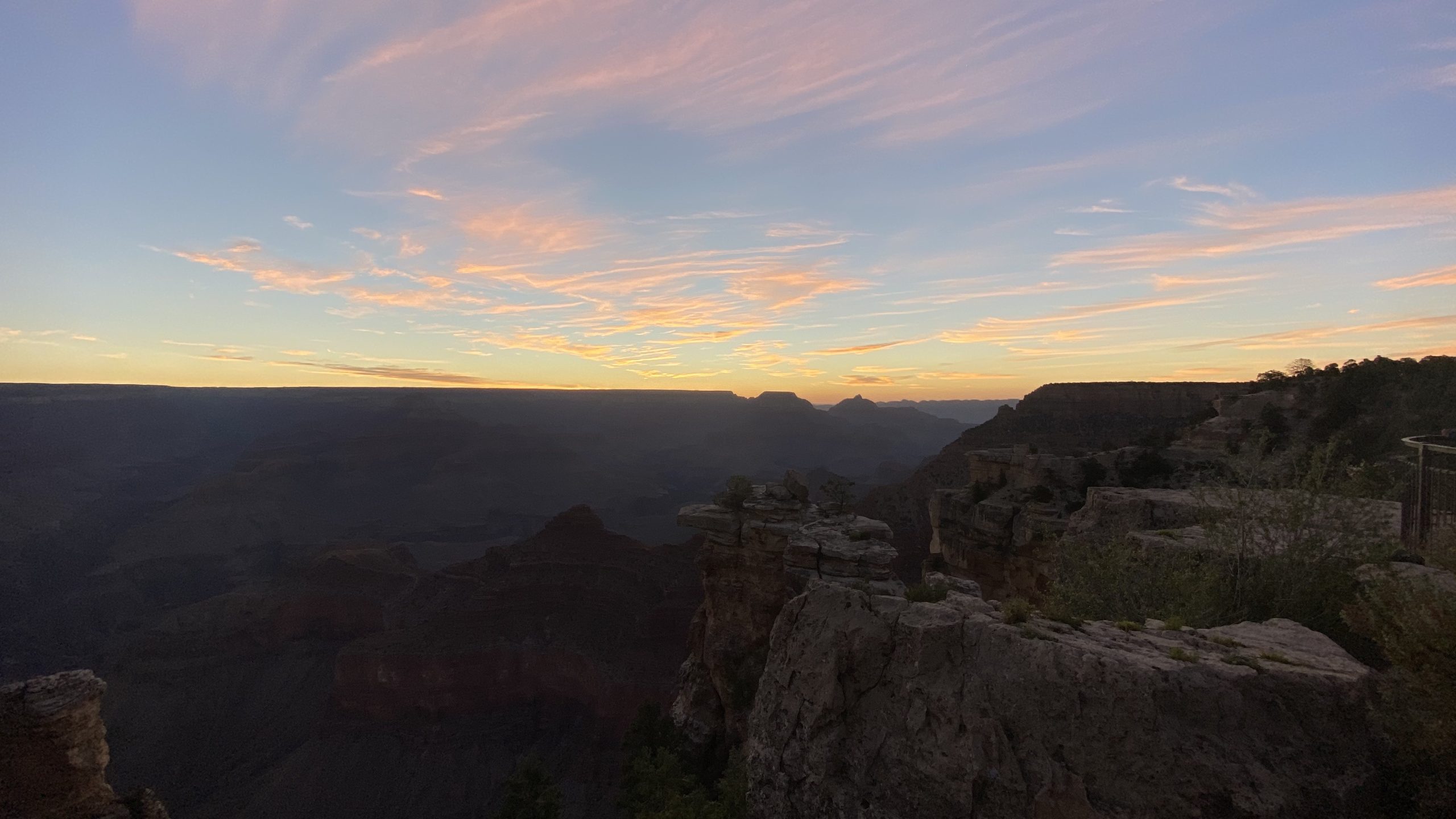
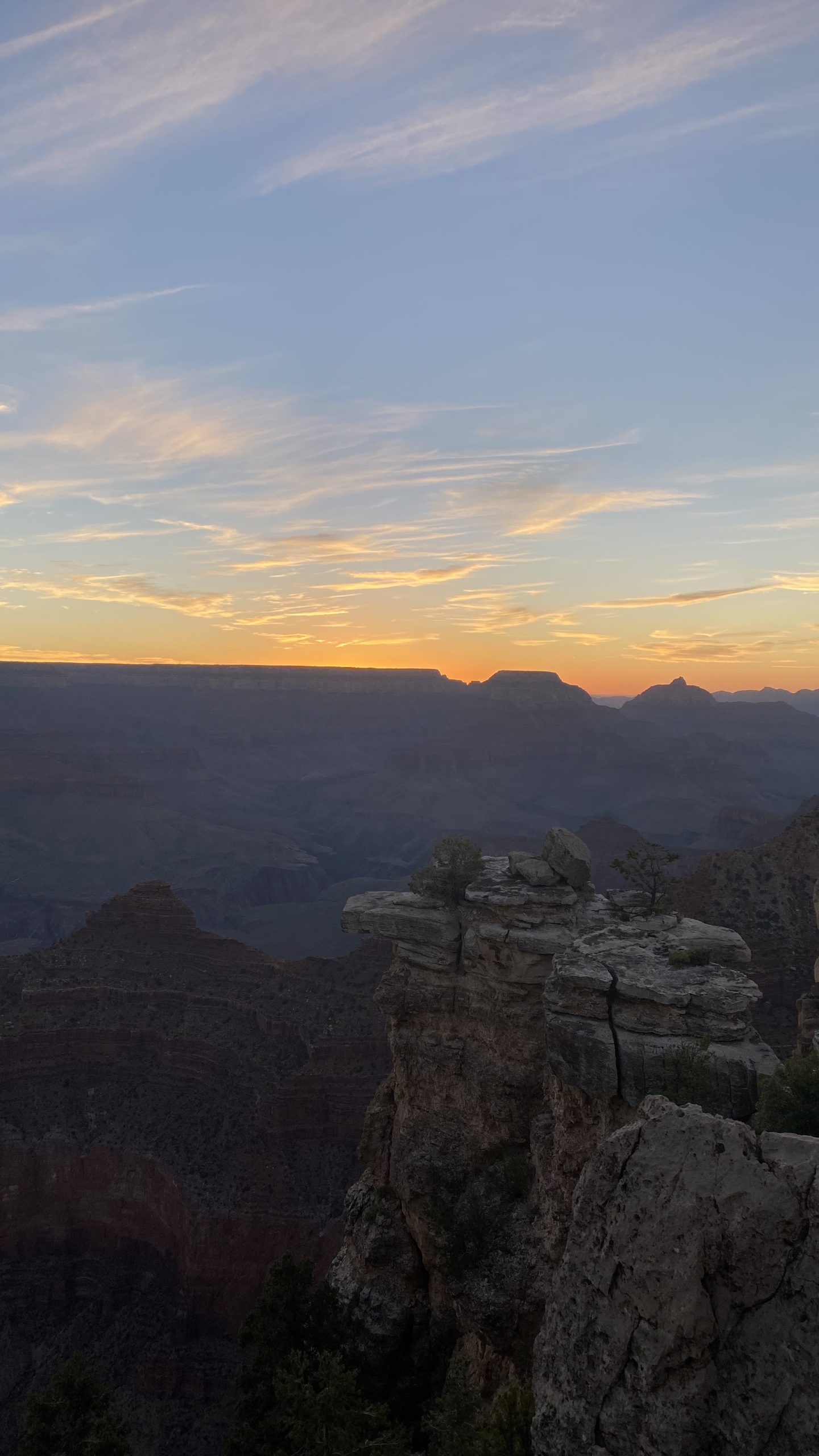
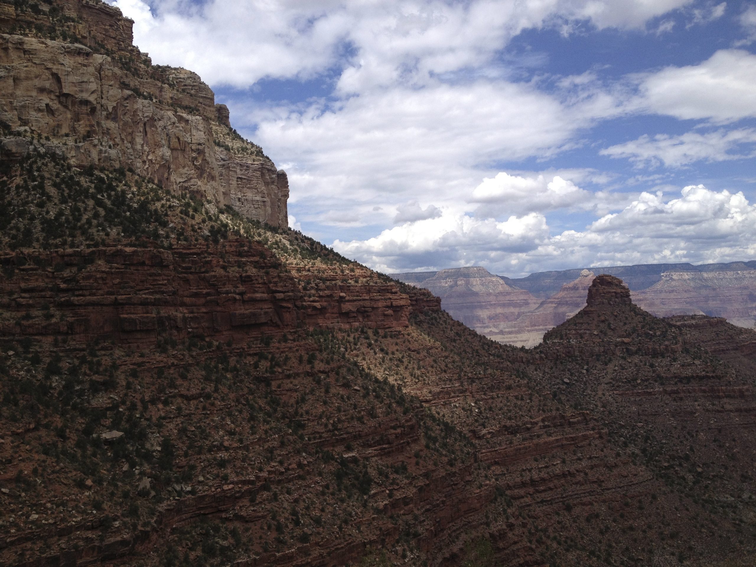
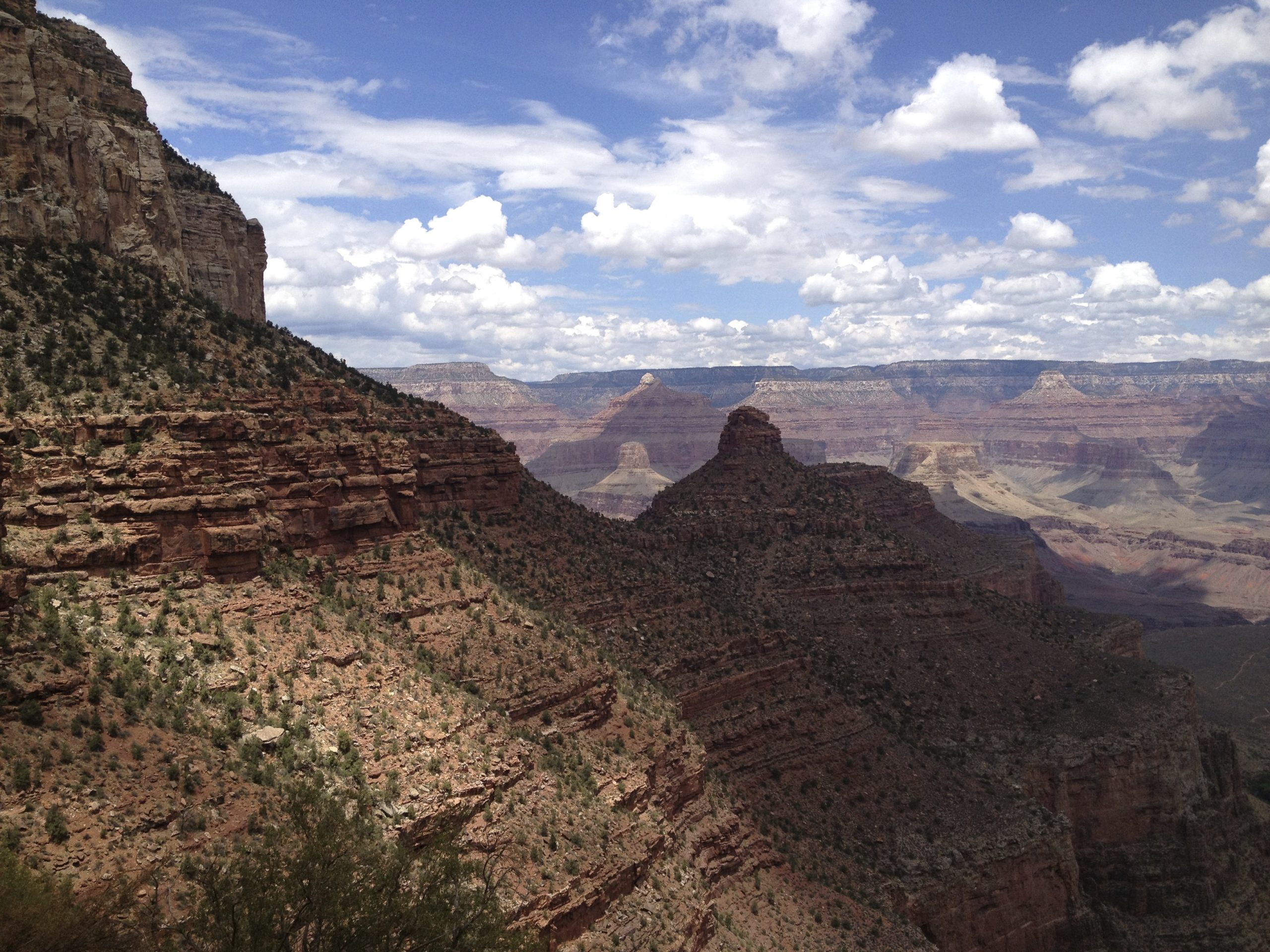
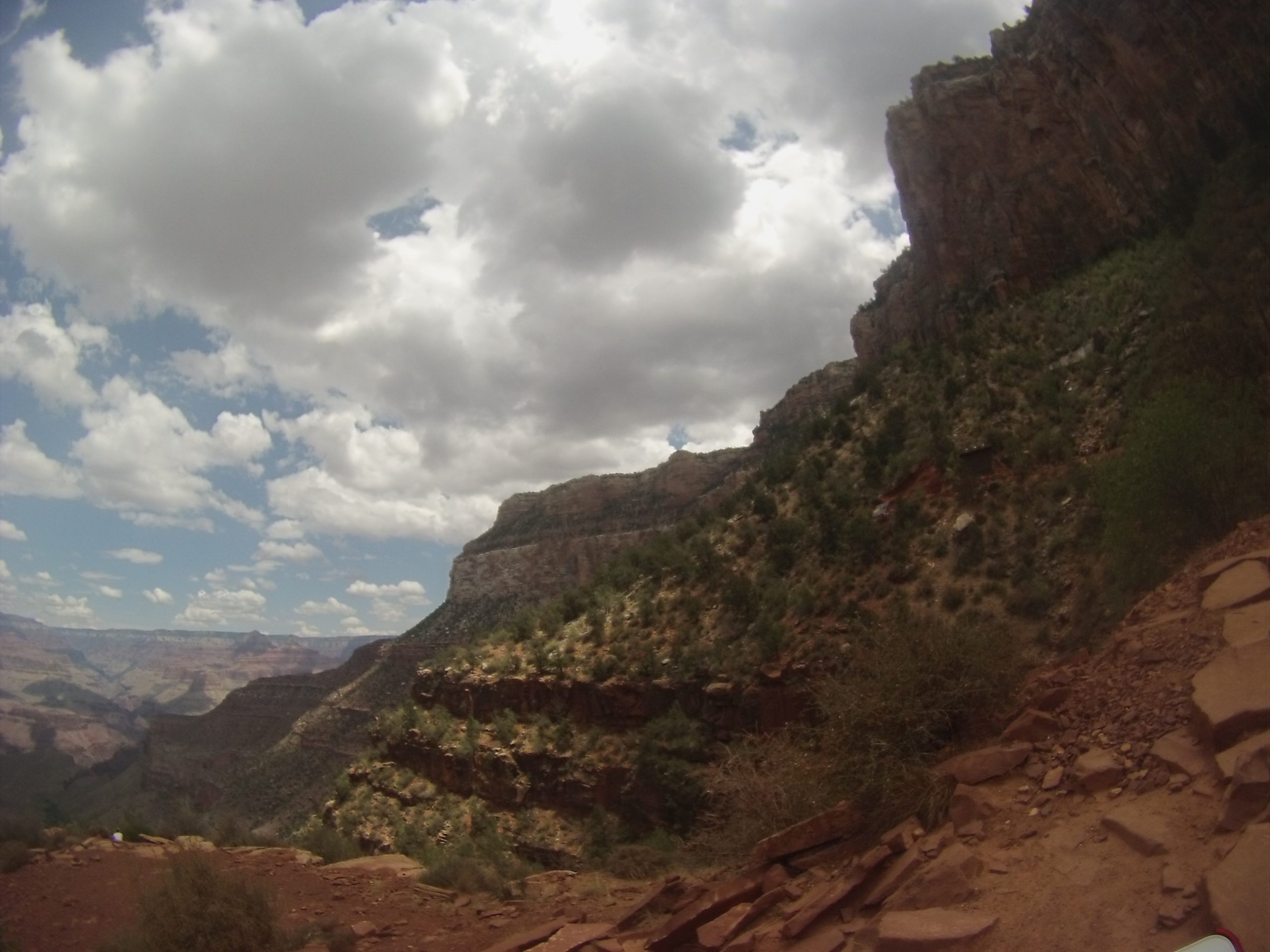
Stand at the South Rim and you’re looking across a trench so vast it resets your sense of scale: roughly 277 miles long, up to 18 miles wide, and over a mile deep. The Colorado River is the engineer of this immensity, but the river’s carving is only one chapter in a much longer story. The ground you’re standing on—the Colorado Plateau—was lifted thousands of feet by tectonic forces. That uplift steepened the river’s gradient and supercharged its cutting power. Over millions of years, the river and its tributaries sliced through stacked layers of sedimentary rock, exposing a vertical library of environments: shallow seas, tidal flats, river deltas, coastal deserts, and, at the very bottom, ancient basement rocks forged under heat and pressure.
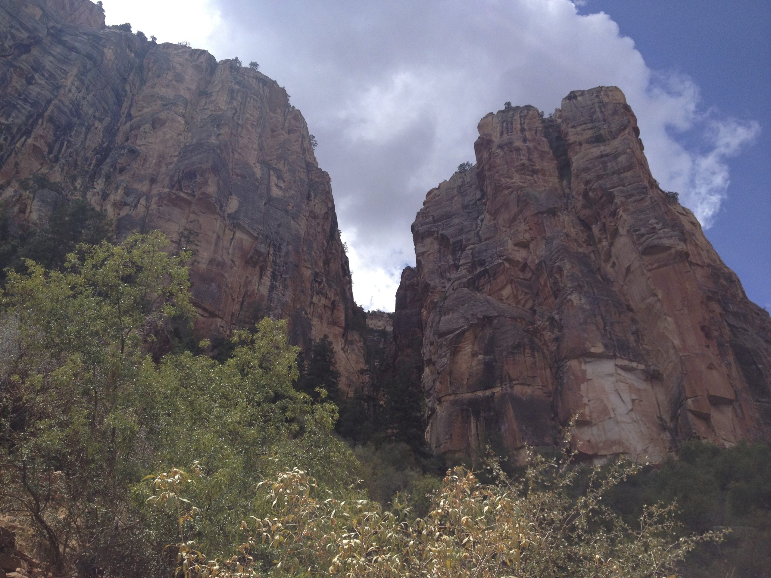
Walk the trails or trace the layers with your eyes from rim to river and you’ll see the narrative unfold. Near the top are light‑colored cliff formers like Kaibab Limestone and pale eolian sandstones. Descend, and rust-red slopes of softer shales appear, then sandy cliffs again, then, far below, the dark, contorted metamorphic rocks at the canyon’s floor. Each band marks a distinct time and place, stacked like chapters—some continuous, some interrupted by missing pages where erosion removed whole epochs.
It’s not just vertical drama. Side canyons braid into the main trench, their V-shaped profiles and stair-stepped ledges recording alternating layers of tough and tender rock. Rockfalls dust talus cones and fans. Desert varnish paints dark streaks on walls. When summer monsoons arrive, short-lived waterfalls thread the cliffs and flash floods rearrange gravels on the canyon floor. Everything here is dynamic—even if the motion is measured in millimeters per year.
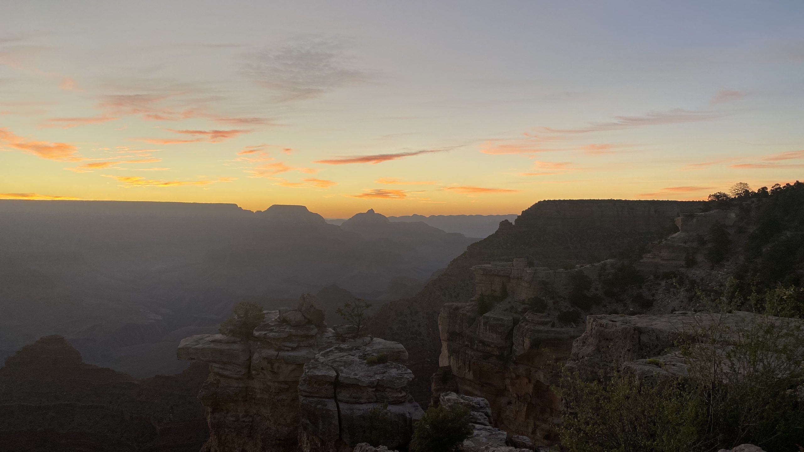
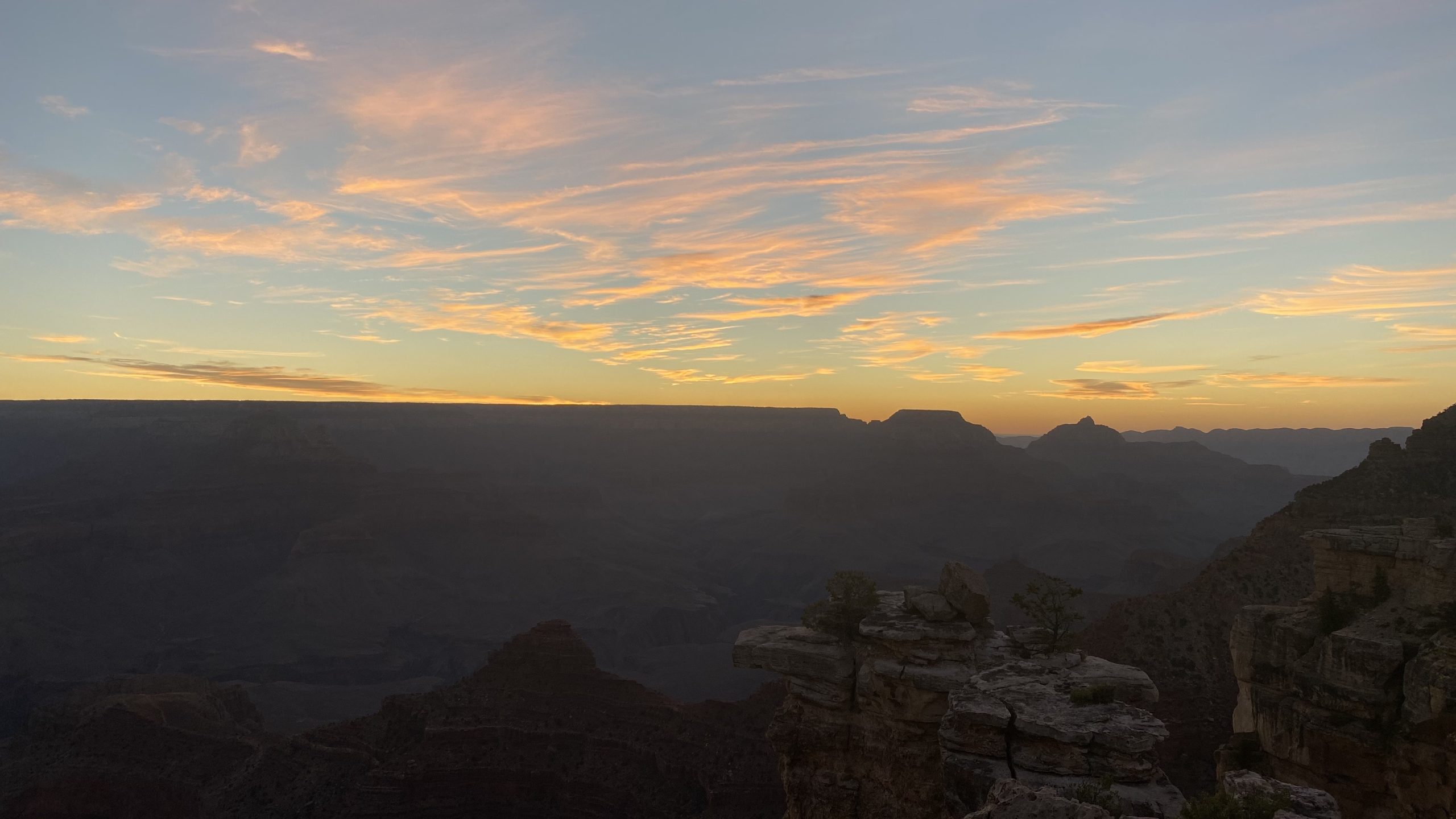
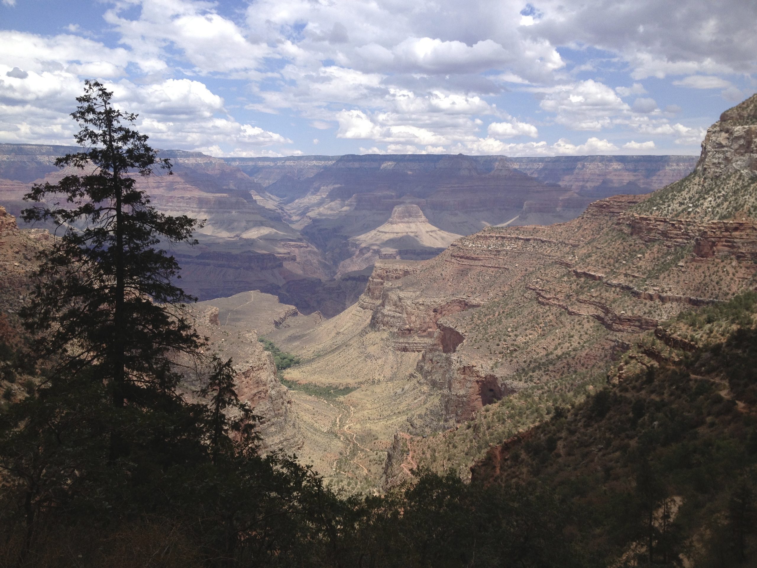
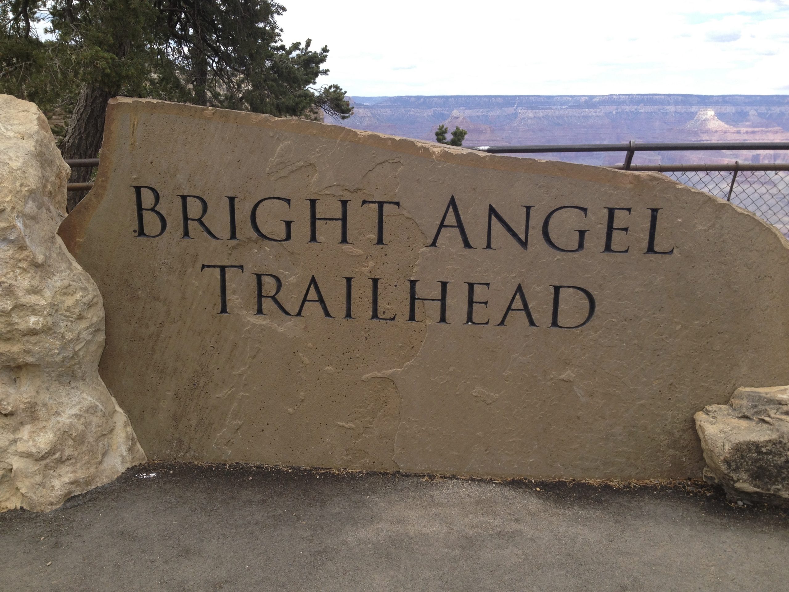
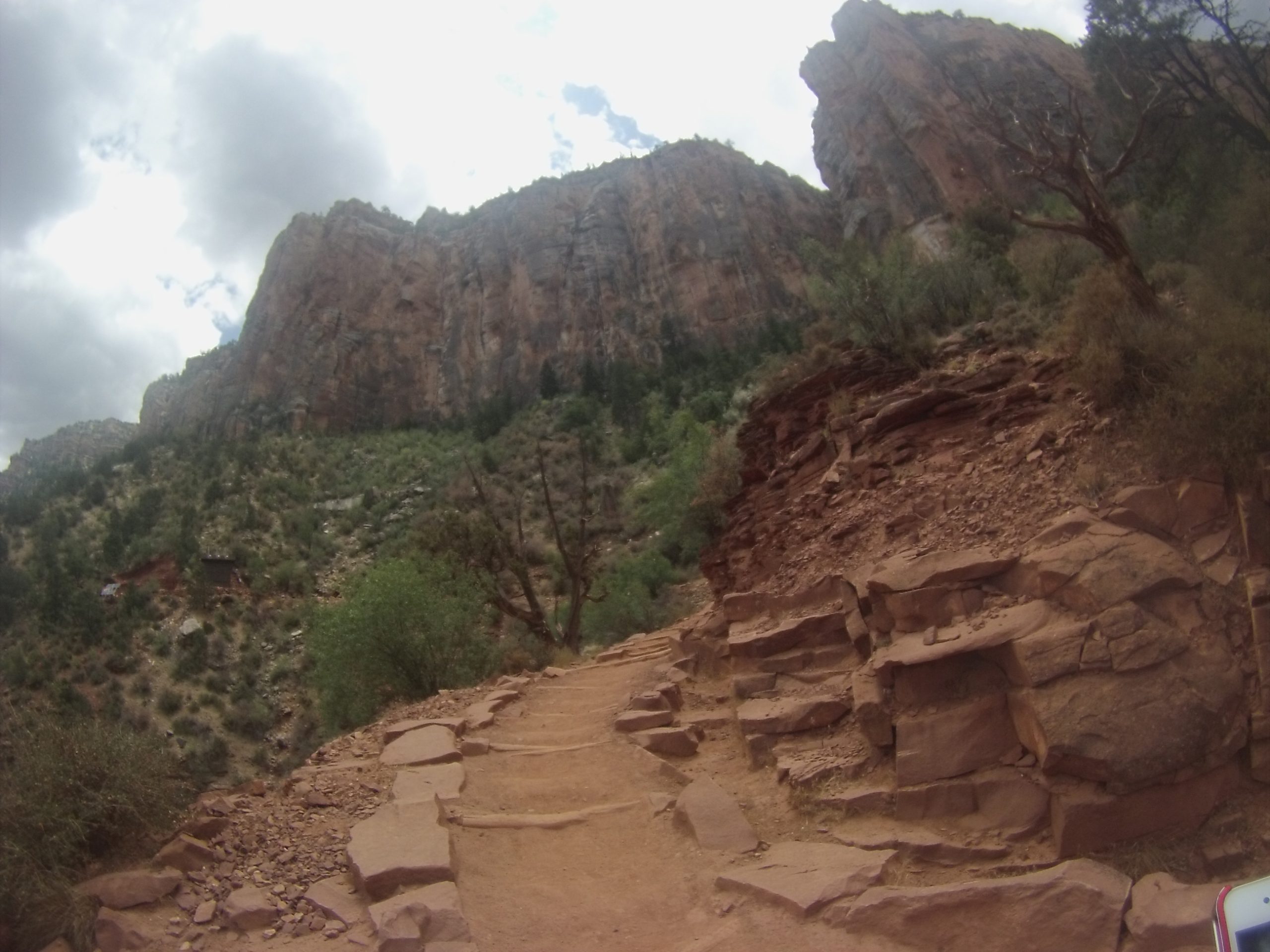
Experiencing it: Iconic viewpoints such as Mather Point or Desert View deliver the “how can this be real” panorama. Drop below the rim on Bright Angel or South Kaibab and the canyon transforms with every switchback—the light, the scale, the silence. Rafting the Colorado offers the reverse perspective: a river’s-eye view of the stone story rising around you.
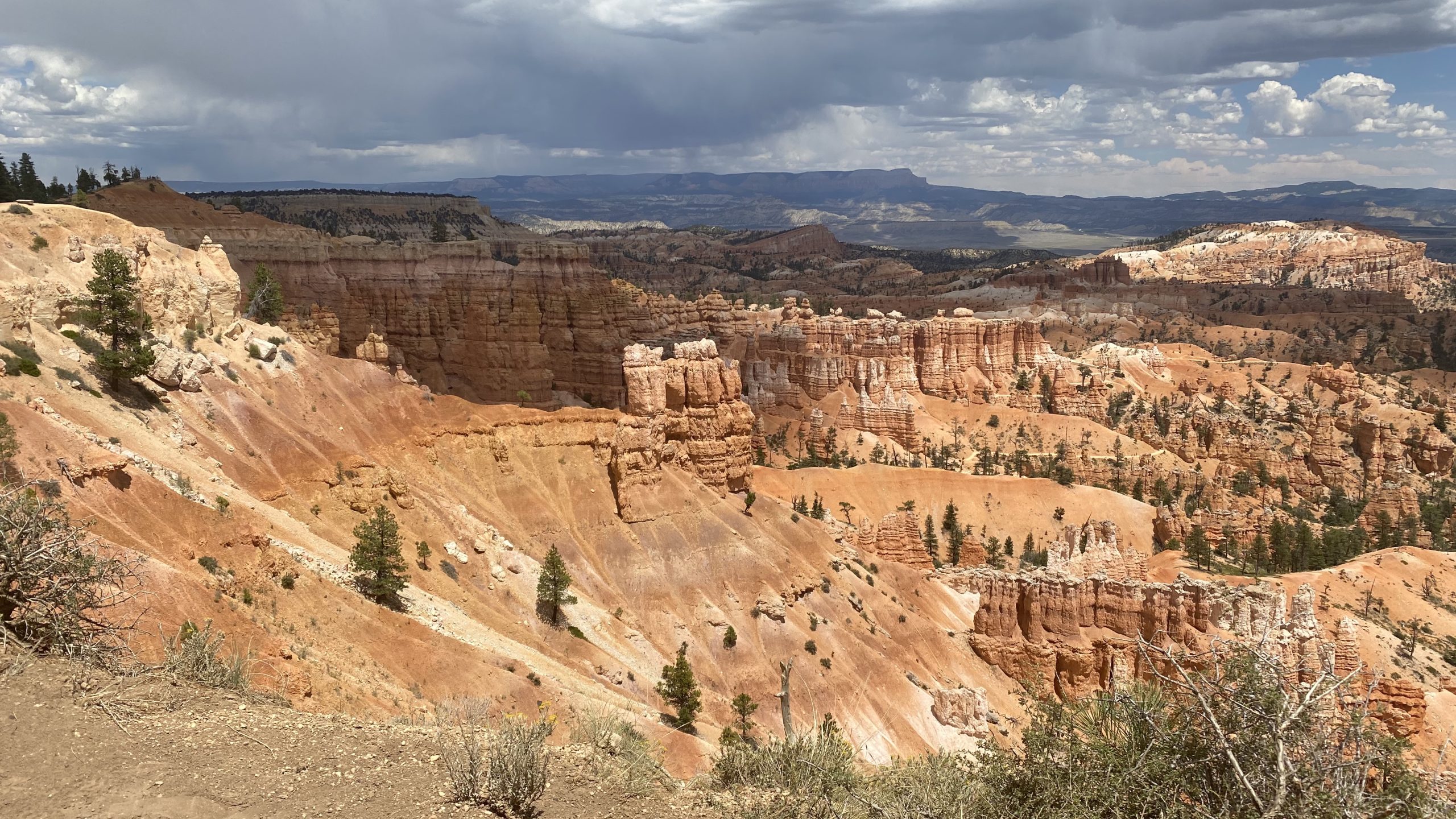
Bryce Canyon: A Stone Forest of Hoodoos
Now shift your mind north to Utah and swap horizontal immensity for vertical whimsy. Bryce Canyon isn’t a canyon carved by a single river; it’s a series of natural amphitheaters gnawed into the eastern edge of the Paunsaugunt Plateau. The starring rock here is the Claron Formation, a pink-to-peach limestone and mudstone laid down in ancient lakes. The sculptor-in-chief is not a big river but the seasonal rhythm of freeze–thaw and the chemistry of slightly acidic rain.
Here’s the sequence: fractures form as the plateau lifts and flexes. Water seeps into cracks. At Bryce’s high elevation, nights often dip below freezing; the water turns to ice, expands, and pries the rock apart—a process called frost wedging. Meanwhile, rainwater picks up carbon dioxide from the atmosphere and soil, becoming mildly acidic. That water dissolves limestone along weaknesses, rounding edges and undercutting walls. Large fins split into narrow partitions, partitions sprout windows, windows collapse to leave free‑standing hoodoos—slender, gravity-defying pinnacles capped, in many cases, by harder layers that slow their demise.
From the rim, the amphitheaters look like coral reefs turned to stone. Inside, among the hoodoos on trails like the Navajo Loop or Queen’s Garden, you discover a world of close-up detail: cross‑bedded laminae that hint at ripples in a lake bed, iron oxide streaks that paint apricot and vermilion, and capstones that resemble precariously balanced hats. Scale is human here; forms are intimate. Where the Grand Canyon makes you feel small, Bryce makes you feel invited in.
Experiencing it: Sunrise at Bryce Point or Sunrise Point ignites thousands of spires. Hike down the switchbacks of Wall Street and you’re threading a slot between skyscraper hoodoos of salmon-pink stone. The relatively compact layout means you can knit together multiple viewpoints and short trails in a single day, with each angle collapsing and reassembling the hoodoo labyrinth.


Side by Side: How Their Geology Differs (and Why It Matters)
1) What they are
- Grand Canyon: A river‑carved gorge through stacked sedimentary layers and down into ancient basement rocks. It is fundamentally an erosional landscape driven by a major river cutting through uplifted terrain.
- Bryce Canyon: A set of amphitheater‑style escarpments sculpted on a plateau edge by freeze–thaw cycles and chemical weathering. No single trunk river is responsible; countless small processes work in concert.
2) The rocks you’re seeing
- Grand Canyon: A thick vertical sequence spanning immense time—from very old metamorphic/igneous rocks at the bottom to younger limestones, sandstones, and shales at the top. Each layer corresponds to a different ancient environment.
- Bryce Canyon: Primarily the Claron Formation, deposited in freshwater lakes relatively recently (geologically speaking). The “variety” comes less from rock type and more from sculpting styles and iron‑rich pigments.
3) Main erosional tools
- Grand Canyon: The Colorado River and its tributaries do the heavy lifting, enhanced by uplift that steepens gradients. Mass wasting (rockfalls, landslides) and weathering continuously shape the walls.
- Bryce Canyon: Frost wedging is king, aided by acidic water dissolving limestone. Winter and shoulder-season freeze–thaw cycles are especially important at Bryce’s 8,000–9,000‑foot elevations.
4) Shapes on the ground
- Grand Canyon: Broad, terraced walls; V‑shaped tributary canyons; cliffs alternating with slopes where softer layers erode; vast benches and platforms.
- Bryce Canyon: Fins, windows, bridges, and, ultimately, hoodoos—slender spires often topped with protective caprocks. The geometry is lace‑like and vertical.
5) Sense of time
- Grand Canyon: Deep time is the headline—nearly two billion years on display. It’s a geologic ledger, page after page.
- Bryce Canyon: Active present steals the show. Hoodoos are ephemeral, constantly evolving. Come back in a century and details will have changed.
Climate, Elevation, and Color Palettes
Both parks owe their red-rock drama to iron oxides, but the palettes differ. The Grand Canyon’s walls transition from cream to ocher to brick red to chocolate brown across enormous faces, especially under low-angle light. Bryce’s Claron limestones glow cotton‑candy pinks and apricots, punctuated by pale creams and occasional russet streaks.
Elevation drives experience. Bryce’s high rim brings cool summer nights and significant winter snow; snow on the hoodoos is pure magic, accentuating edges and capstones. The Grand Canyon’s South Rim sits lower; summers are warmer, and the Inner Gorge can be downright hot. Summer monsoon storms add drama to both places—thunderheads, shafts of rain, and, sometimes, rainbows bridging stone.
Wildlife and Plant Communities
The Grand Canyon spans a large vertical gradient, so life zones stack like floors of a skyscraper: pinyon‑juniper woodlands on the rims, riparian cottonwoods and willows along the river, desert scrub on sun‑baked benches, and pockets of ponderosa and mixed conifers where conditions allow. Bryce’s high country favors ponderosa pine, Douglas‑fir, aspen, and montane meadows on the plateau top, with more drought‑tolerant shrubs stepping down into the amphitheaters. In both parks, ravens ride thermals, mule deer browse at dawn and dusk, and peregrines patrol cliff faces.
Cultural Threads
Long before park status, both landscapes were—and remain—culturally significant. The Grand Canyon’s rims, plateaus, and side canyons intersect the homelands and histories of numerous Indigenous nations. Bryce’s plateau edge lies within lands long used and revered by Indigenous peoples of the region. European-American settlement layered ranching, farming, and, eventually, conservation onto these older stories, culminating in national park protections that aim—imperfectly but earnestly—to safeguard both nature and heritage.
Planning a Dual‑Park Trip
If you’re pairing the two, let contrast be your guide. Give the Grand Canyon at least a full day to absorb multiple overlooks and, ideally, a partial descent below the rim. Then pivot to Bryce for intimate walking among hoodoos and golden‑hour rim time. The South Rim to Bryce Canyon drive is a full day with stops; many travelers stage in Page, Kanab, or Panguitch to break it up and add slot canyons, Lake Powell overlooks, or Coral Pink Sand Dunes along the way.
Packing pointers:
- Layers for Bryce’s cool mornings and sudden storms; traction is helpful when trails are icy.
- Ample water and sun protection for any Grand Canyon descent; the temperature swings are real.
- A wide‑angle lens for Bryce’s close‑quarters sculpting and a zoom for isolating Grand Canyon buttes and temples across the void.
One Plateau, Two Masterpieces
Think of the Colorado Plateau as a vast stone canvas and these parks as two masterworks painted in different styles. The Grand Canyon is a sweeping epic—bold strokes across a huge field, every layer a chapter, every overlook a new vantage on deep time. Bryce Canyon is a collection of intimate poems—careful lines, playful forms, and daily edits by frost and rain. See them both, and you don’t just check two boxes; you learn to read the landscape with a more practiced eye. The next time you stand on a rim anywhere in the Southwest, you’ll find yourself asking sharper questions: What rock is this? What carved it? How long did that take? And that’s the real gift these two icons share—the way they turn curiosity into understanding, and wonder into a lifelong habit of looking closely.
\


Leave a reply
You must be logged in to post a comment.