Ash, Ice, and Alarms: My Experience During the 2009 Eruption of Mount Redoubt Volcano
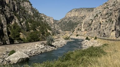
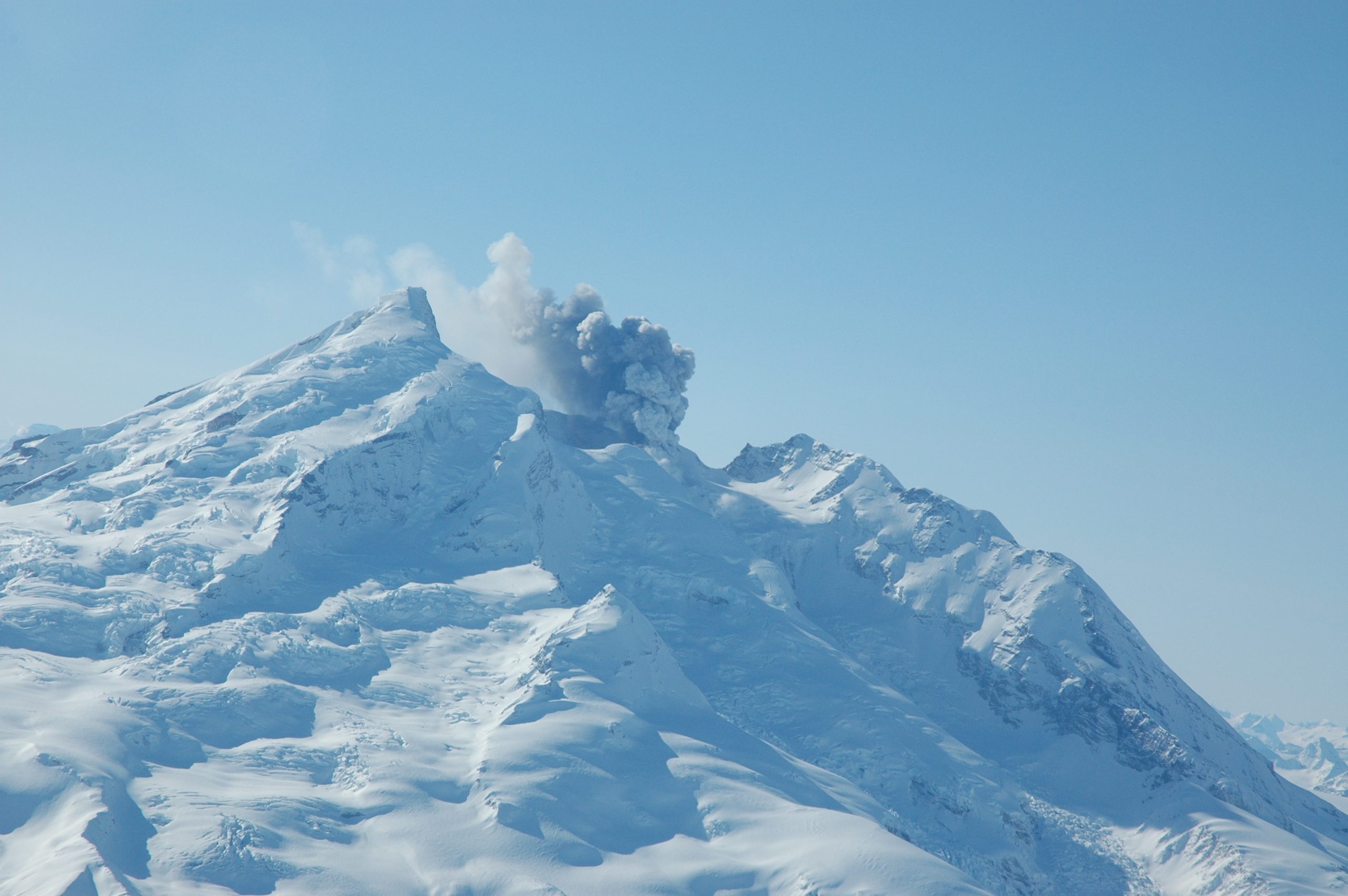
In March 2009, while working with the U.S. Geological Survey (USGS), I witnessed firsthand one of Alaska’s most dramatic natural events: the eruption of Mount Redoubt Volcano. Nestled on the west side of Cook Inlet, about 106 miles southwest of Anchorage, Redoubt is an ice-covered stratovolcano known for its explosive temperament. That spring, it reminded us all of its power—and the urgency of our work.


🌋 The First Blast: March 22, 2009
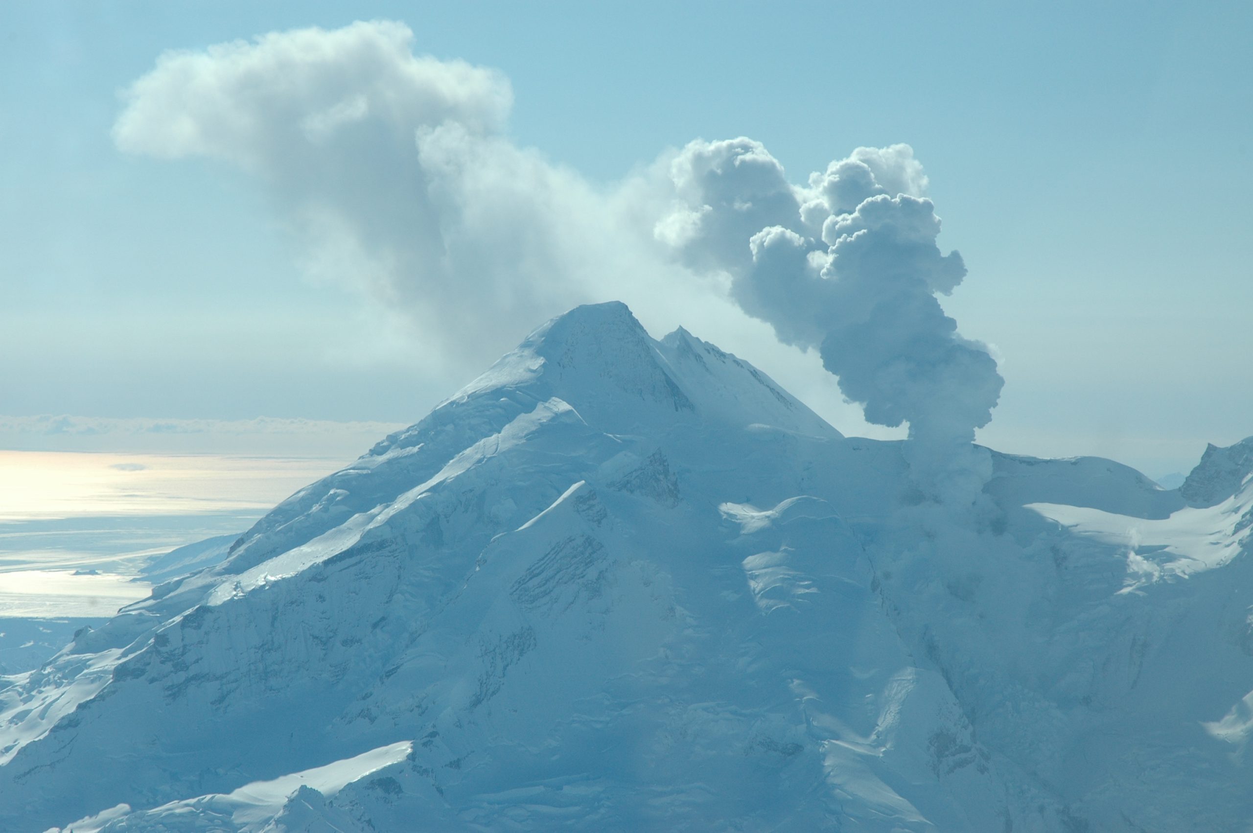
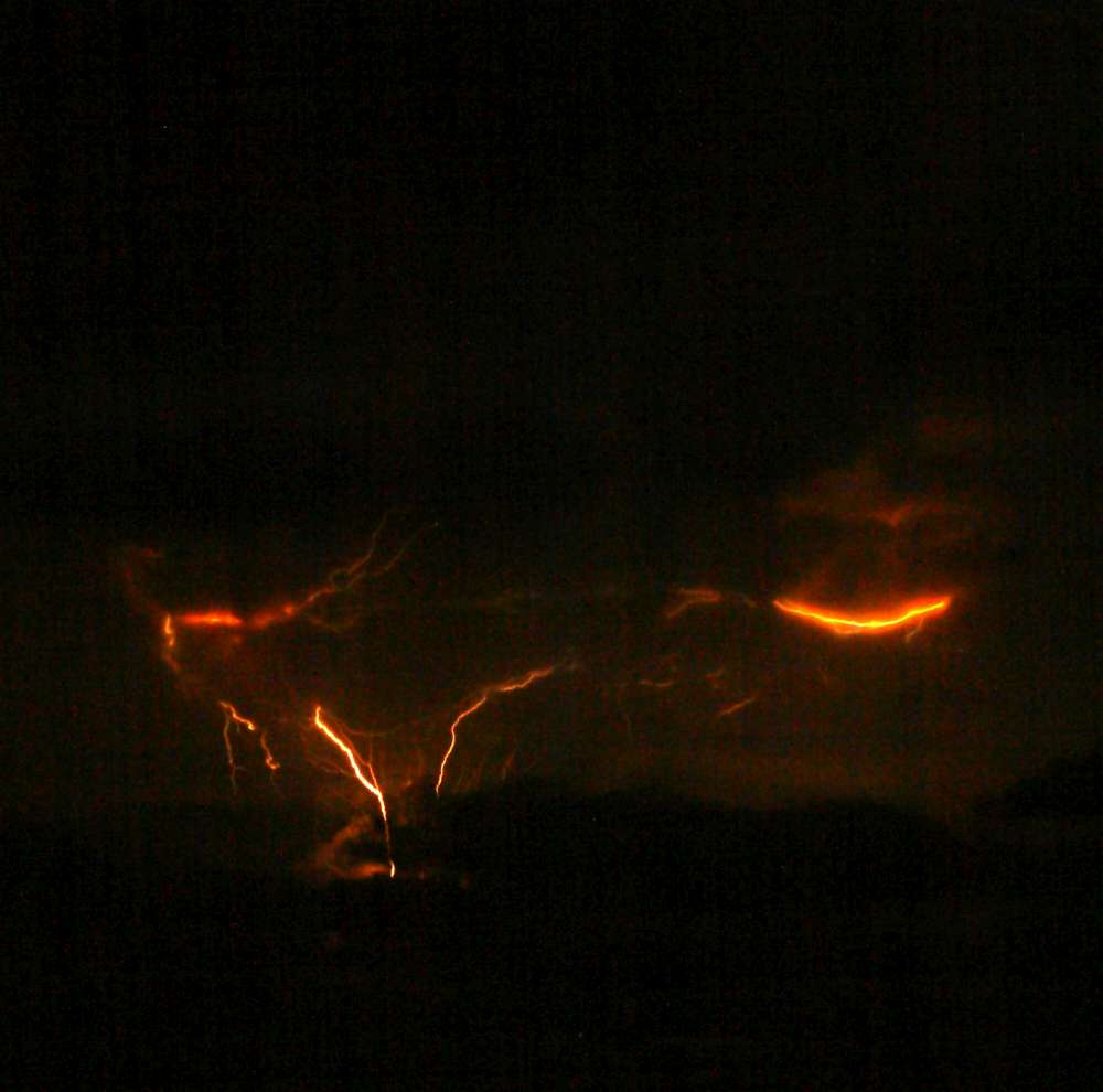
After months of seismic unrest and steam emissions, Mount Redoubt erupted at 10:34 p.m. on March 22, 2009. This marked the beginning of a series of explosive events that would continue for weeks. The eruption was preceded by a strong swarm of shallow earthquakes that began around 4:00 a.m. on March 20, signaling that magma was on the move.
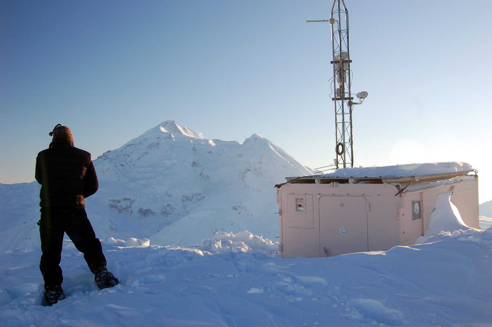
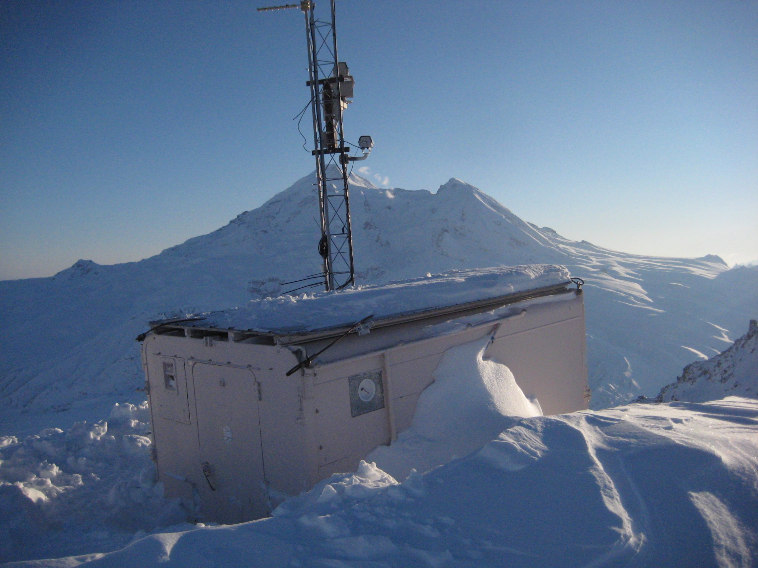
The first eruption was magmatic, sending ash high into the atmosphere and triggering immediate alerts across south-central Alaska. Within hours, the Alaska Volcano Observatory (AVO)—a joint effort between the USGS, University of Alaska Fairbanks, and the Alaska Division of Geological & Geophysical Surveys—was fully mobilized. As part of the USGS team, I was involved in monitoring seismic data, coordinating with emergency services, and helping communicate risks to the public.
⚠️ A Frenzy of Activity: 5 Eruptions in 24 Hours
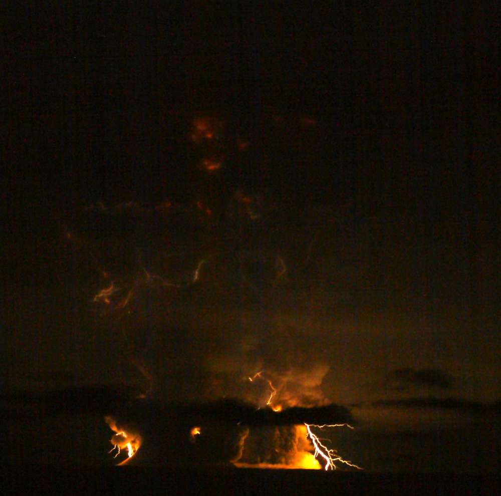
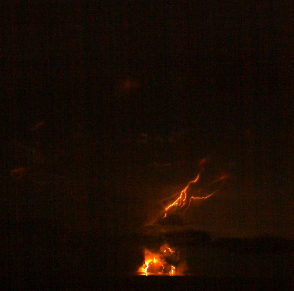
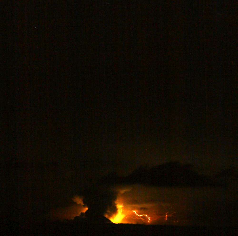
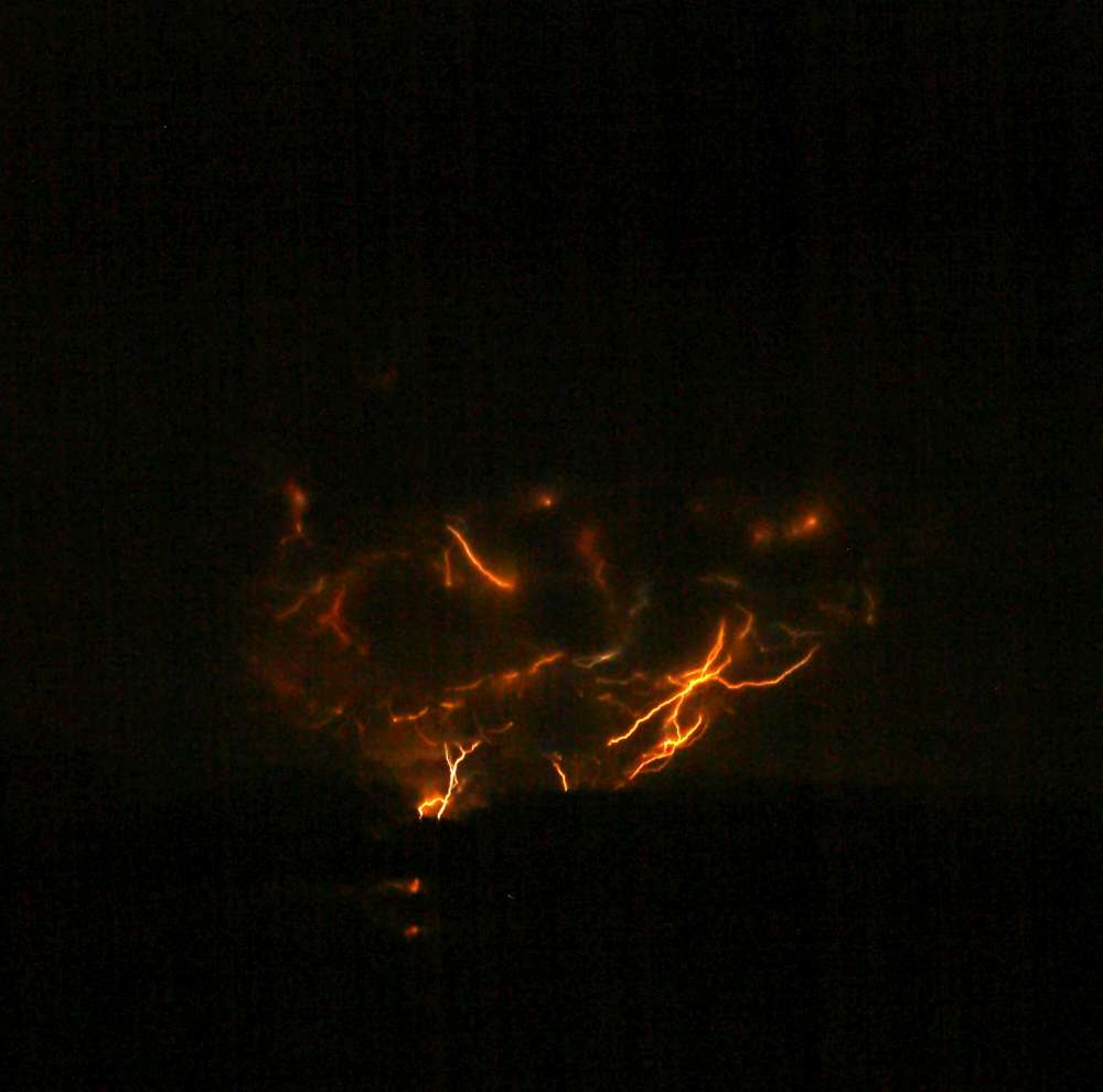
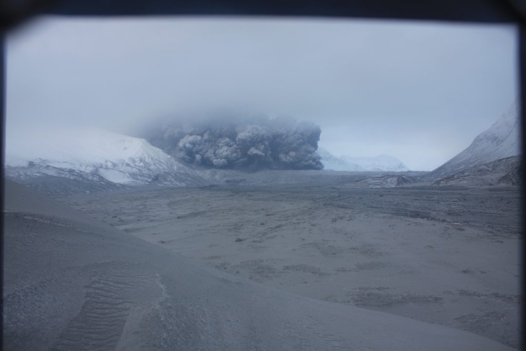
Redoubt didn’t stop with one eruption. Within the first 24 hours, the volcano erupted five separate times, each event sending ash clouds tens of thousands of feet into the sky. These eruptions varied in intensity, but all posed serious hazards to aviation, infrastructure, and nearby communities.
- Ash clouds reached altitudes of up to 60,000 feet, disrupting air traffic and grounding flights across Alaska.
- Tephra fall coated towns like Anchorage and Valdez, prompting health advisories and cleanup efforts.
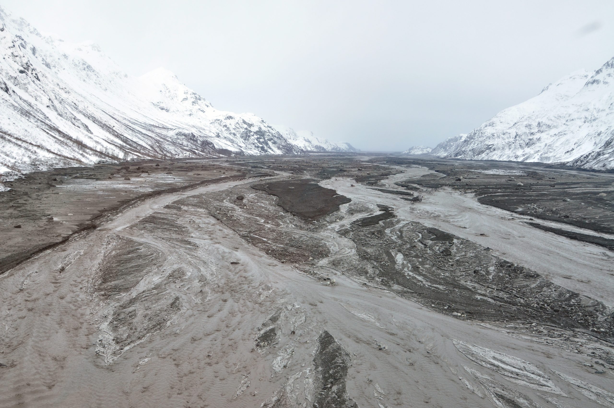
- Lahars (volcanic mudflows) surged down the Drift River Valley, threatening the Drift River Oil Terminal and prompting emergency evacuations.
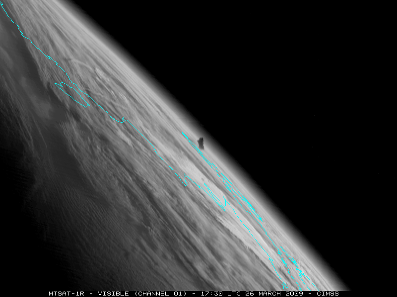
The pace was relentless. Each eruption brought new data, new challenges, and new decisions. Our team worked around the clock, analyzing seismic signals, satellite imagery, and gas emissions to anticipate what Redoubt might do next.
🧪 Inside the USGS Response
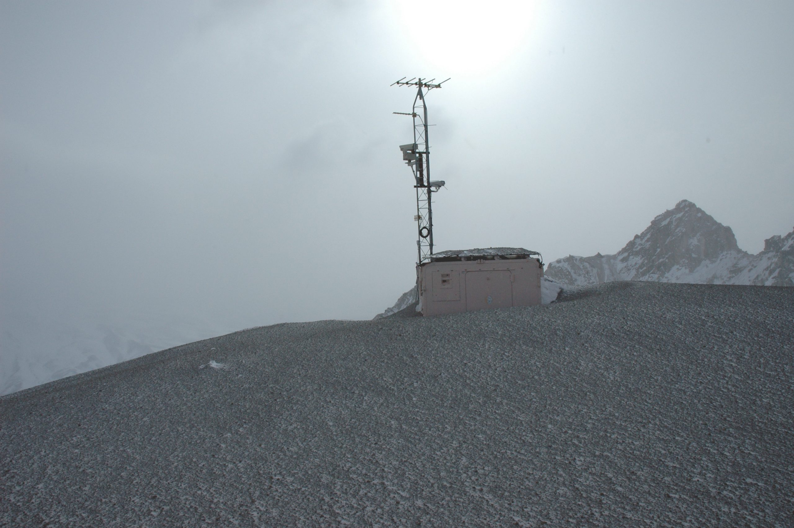
Working for the USGS during an active eruption is a blend of science, logistics, and adrenaline. Our field teams deployed instruments near the volcano, collected ash samples, and monitored gas emissions. Meanwhile, analysts like myself stayed glued to seismic feeds and thermal imagery, looking for signs of dome growth, collapse, or new magma movement.
Communication was key. We coordinated with the National Weather Service to issue ashfall advisories, briefed emergency managers, and kept the public informed through press releases and live updates. The goal was simple: protect lives and property while advancing our understanding of volcanic behavior.
🌫️ The Human Side of the Eruption
Beyond the science, the eruption had real human impacts. Anchorage’s airport—one of the busiest cargo hubs in the world—was shut down for nearly 20 hours. Residents stocked up on masks and air filters. Schools closed. Businesses paused operations. And through it all, the USGS and AVO teams worked tirelessly to provide accurate, timely information.
I remember the surreal feeling of watching ash drift across the sky like snow, knowing it came from a mountain that had just exploded. I remember the camaraderie of our team—scientists, technicians, and support staff—united by purpose and adrenaline. And I remember the pride of being part of an organization that helped keep people safe.
🏔️ Aftermath and Legacy
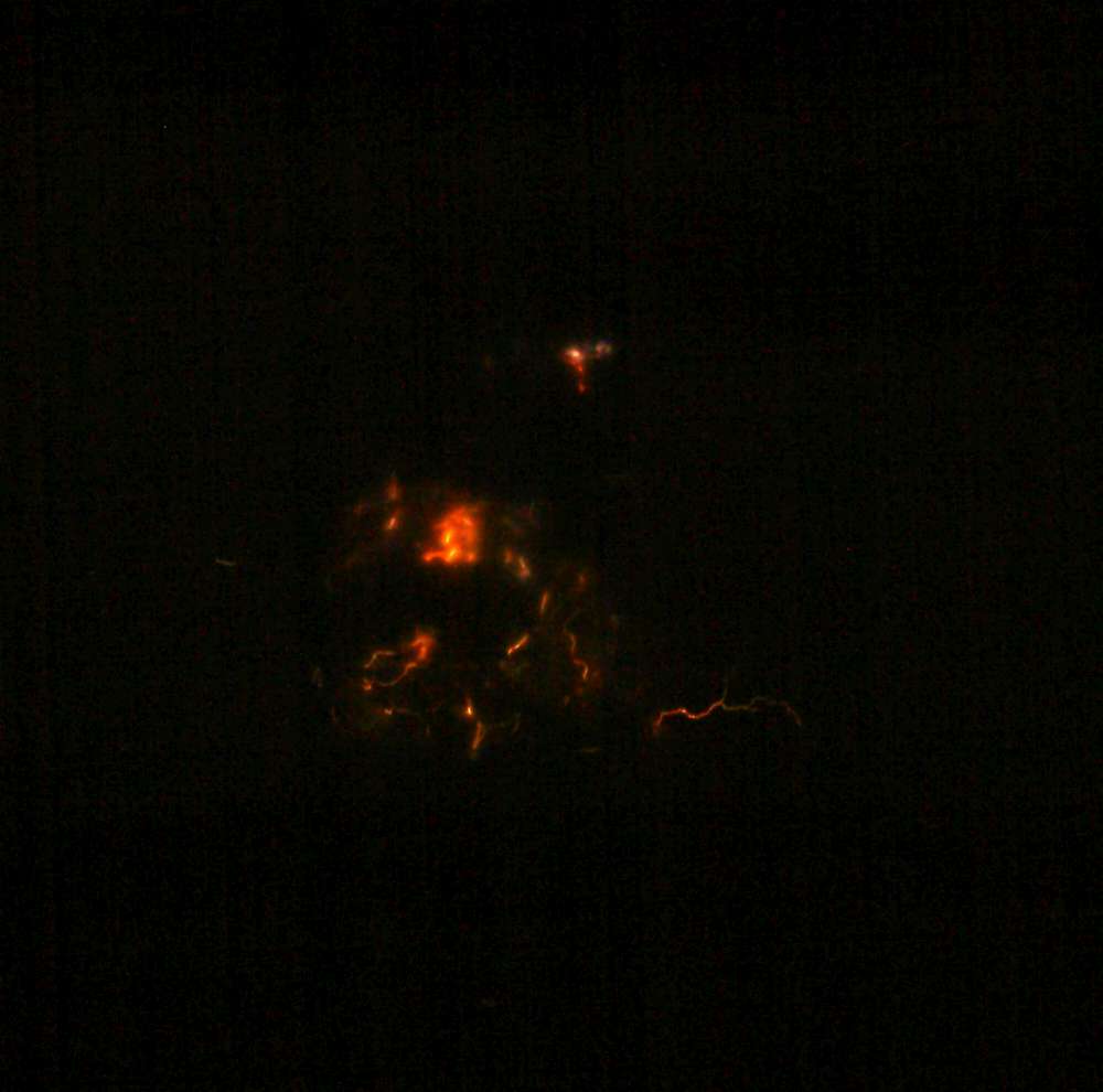
The explosive phase of Redoubt’s eruption continued into April, with a final major blast occurring on April 4, 2009, sending ash 50,000 feet into the air. In total, at least 19 major ash-producing explosions were recorded during the eruption sequence. Lava domes formed and collapsed, reshaping the summit crater and triggering additional lahars.
By summer, the volcano had quieted, and the final lava dome ceased growth by July 1. The eruption left behind a transformed landscape—and a wealth of scientific data that continues to inform volcanic hazard planning today.
Looking back, the 2009 eruption of Mount Redoubt was one of the most intense and rewarding experiences of my career. It was a reminder of nature’s power, the importance of preparation, and the critical role of science in public safety. And for those of us who lived it, it was a story of ash, ice, and the relentless pursuit of understanding.
If you’re curious about volcano monitoring or want to know more about Redoubt’s legacy, I’d be happy to share.