
Approximately 40 wildland firefighters continue to fight off the 24-acre Kolob Terrace Fire, in Hop Valley, Zion National Park. https://www.nps.gov/zion/learn/news/update-wildland-firefighters-continue-to-address-kolob-terrace-fire.htm
July 10, 2020
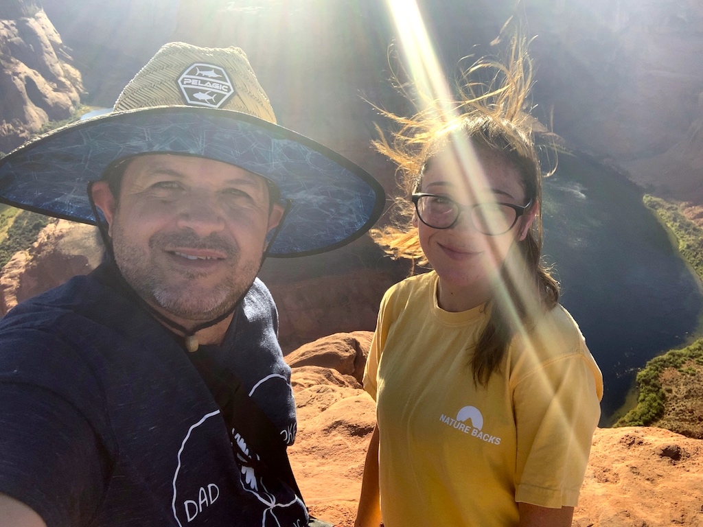
This evening Saydie and I are headed to Horseshoe Bend. Should be a good way to finish-out our world wind be-line to Arizona. Hard to believe we left yesterday (July 09, at 11:30 a.m.) and made it all the way to the Grand Canyon by 5 a.m. and then on to Page, Arizona. We are nuts!
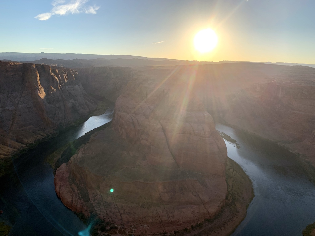
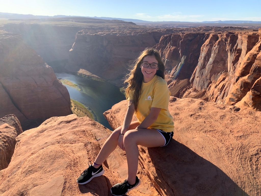
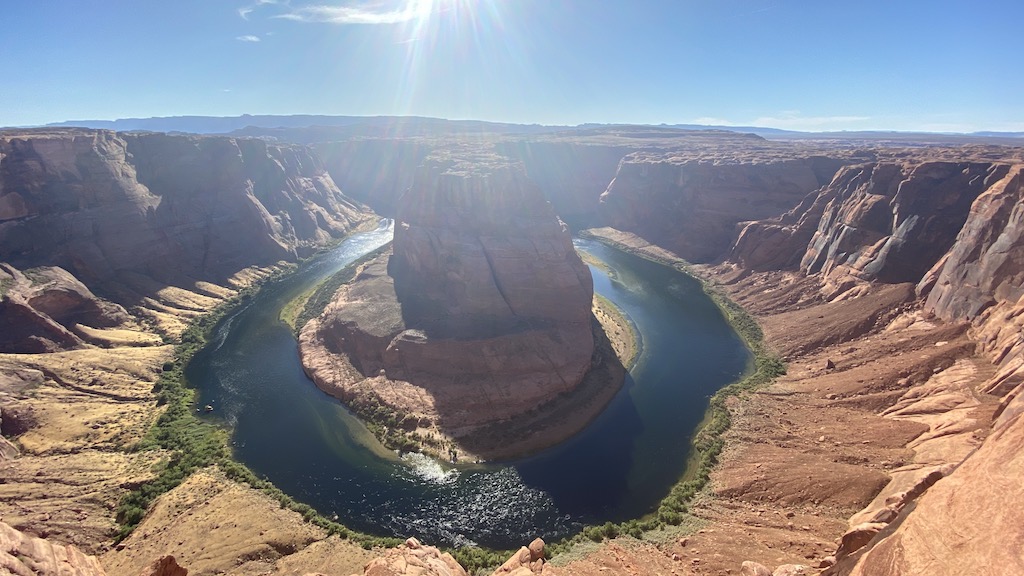
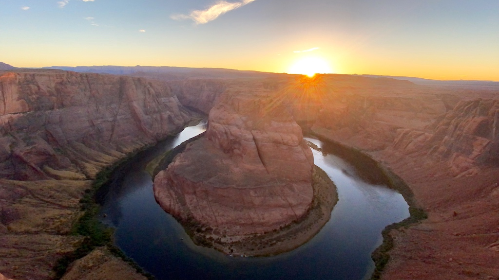
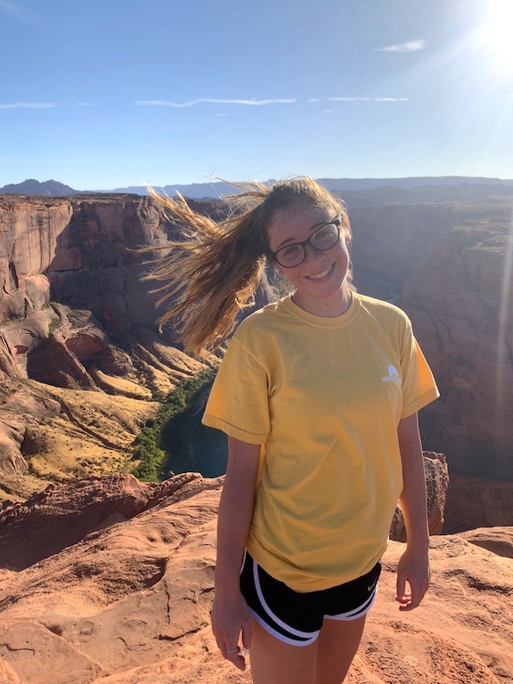
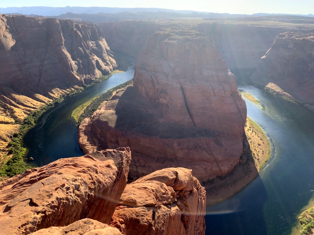
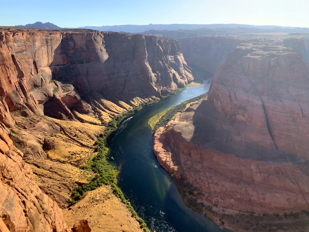
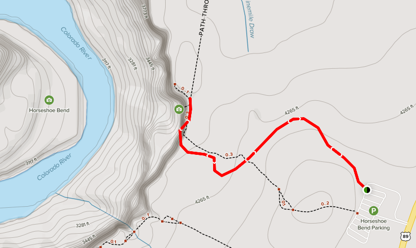
Horseshoe Bend Trail is a 1.4 mile heavily trafficked out and back trail located near Page, Arizona that features a river and is good for all skill levels. The trail is primarily used for hiking and walking and is accessible year-round.
Located in the Paria Canyon- Vermilion Cliffs Wilderness Area, Horseshoe Bend is approximately 5 miles south of Carl Hayden Visitor Center on U.S. Hwy 89 just south of highway marker 545, turn at the sign onto the dirt road which ascends the small hill. Park at the base of the hill, it’s a decently sized lot so you will for sure be able to find a parking spot. Make sure to pay $10 parking fee where the attendant is located before heading up towards the overlook! (Note: National Park Annual Passes are not accepted here.)
Leave a Reply
Related Posts
184