Zion National Park: Where Time, Stone, and Spirit Converge
Nestled in the southwest corner of Utah, Zion National Park is a sanctuary of towering sandstone cliffs, emerald pools, and narrow slot canyons that seem to whisper stories of ancient worlds. Known for its dramatic landscapes and spiritual aura, Zion is more than a destination—it’s a journey through millions of years of Earth’s history and thousands of years of human heritage.
First Impressions: A Cathedral of Nature
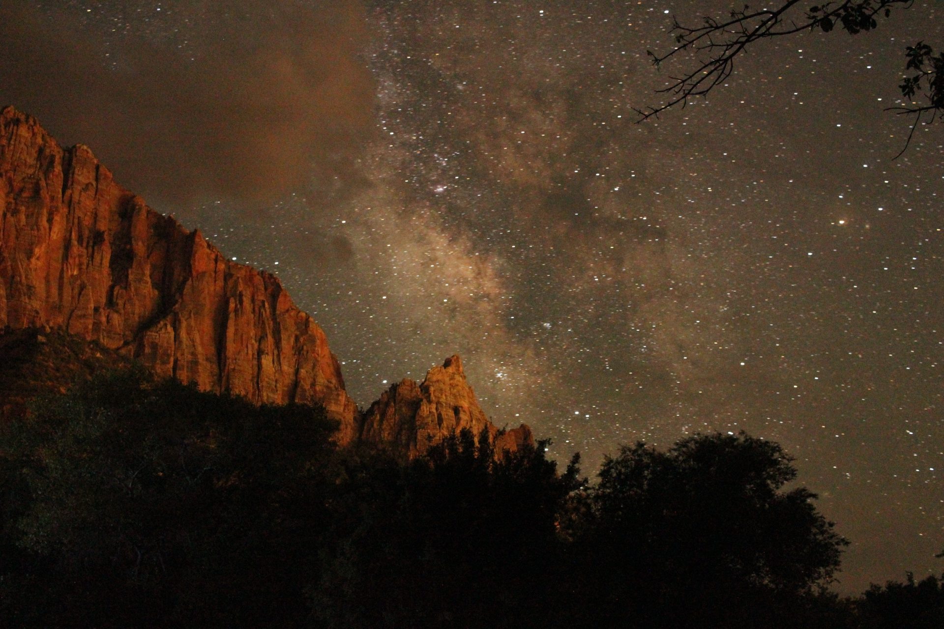
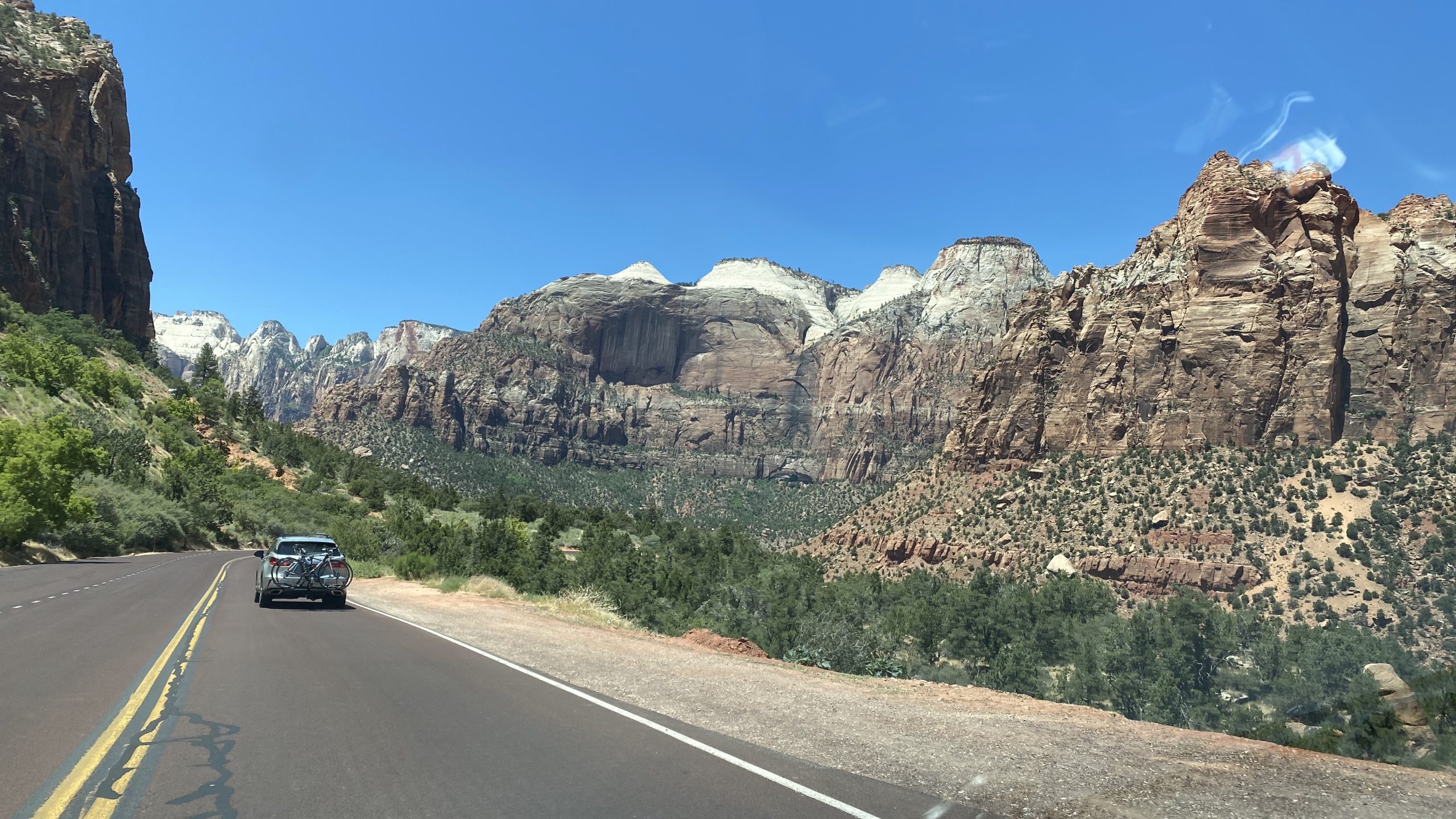
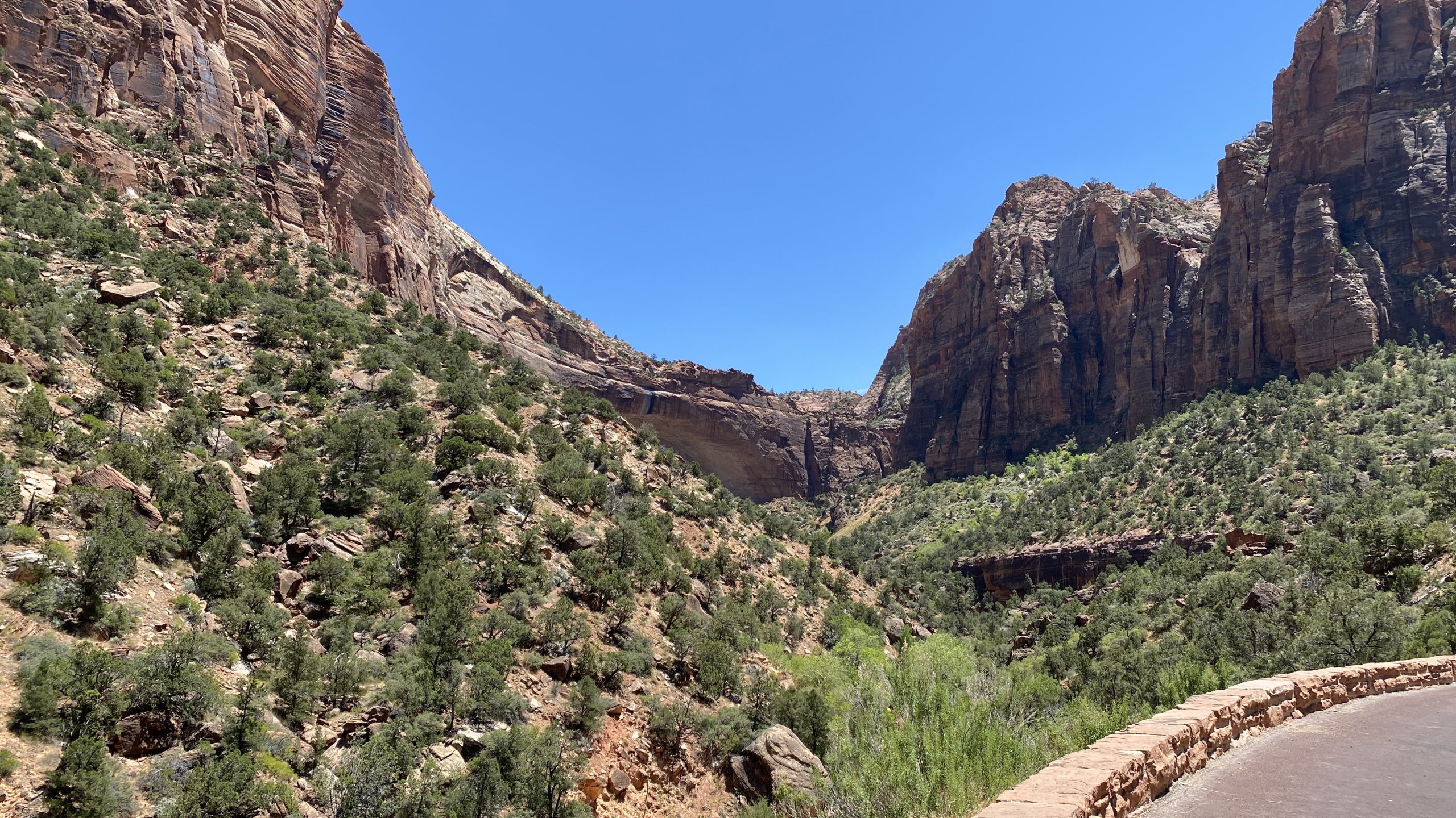
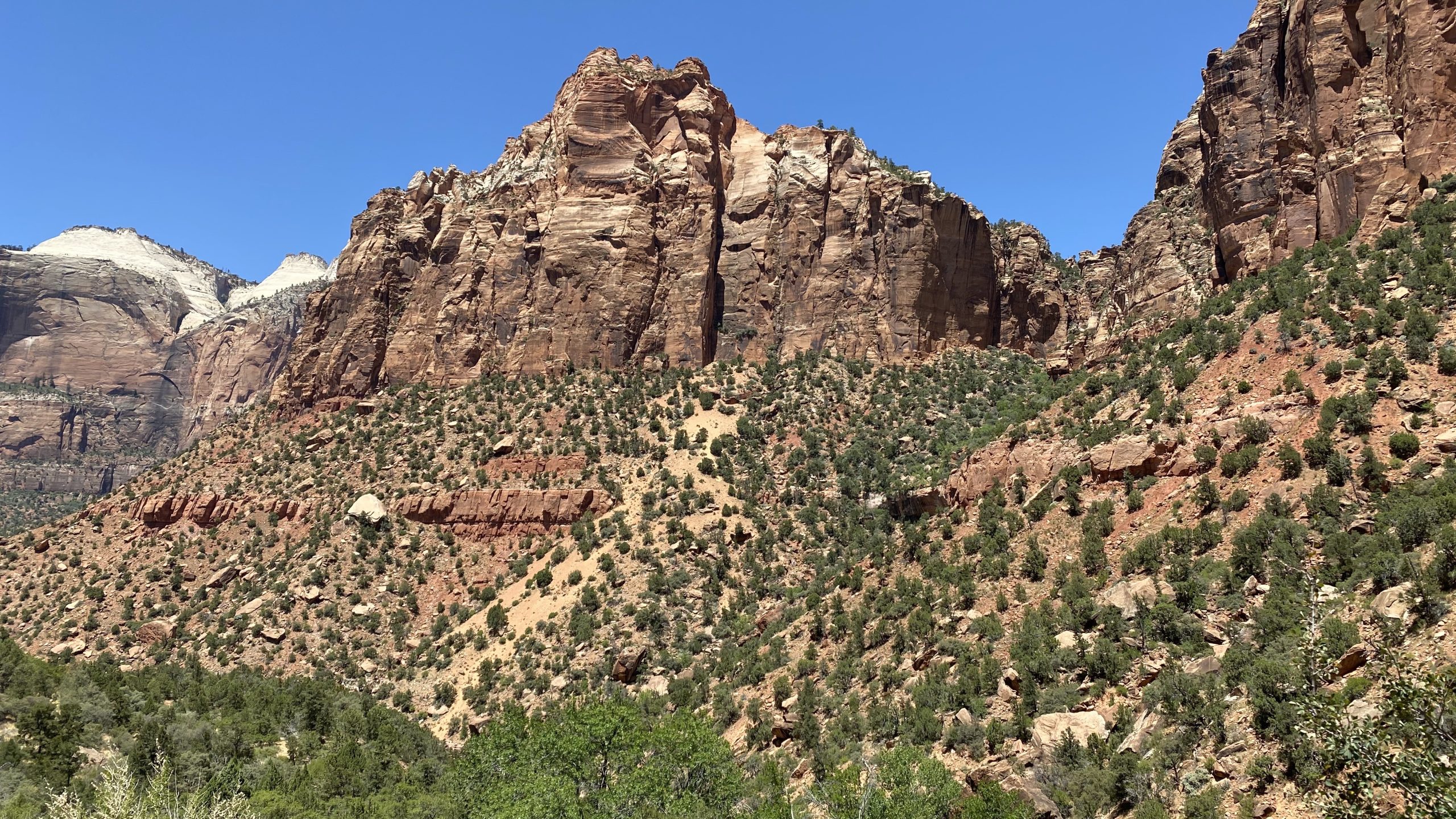
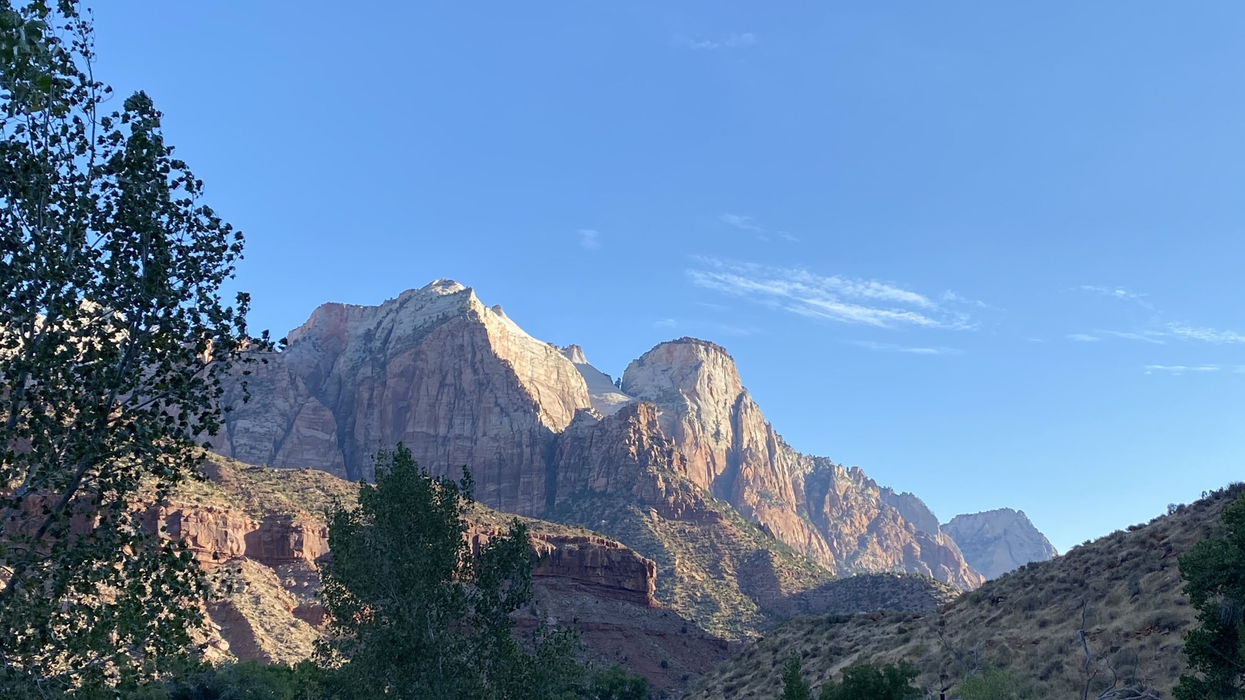
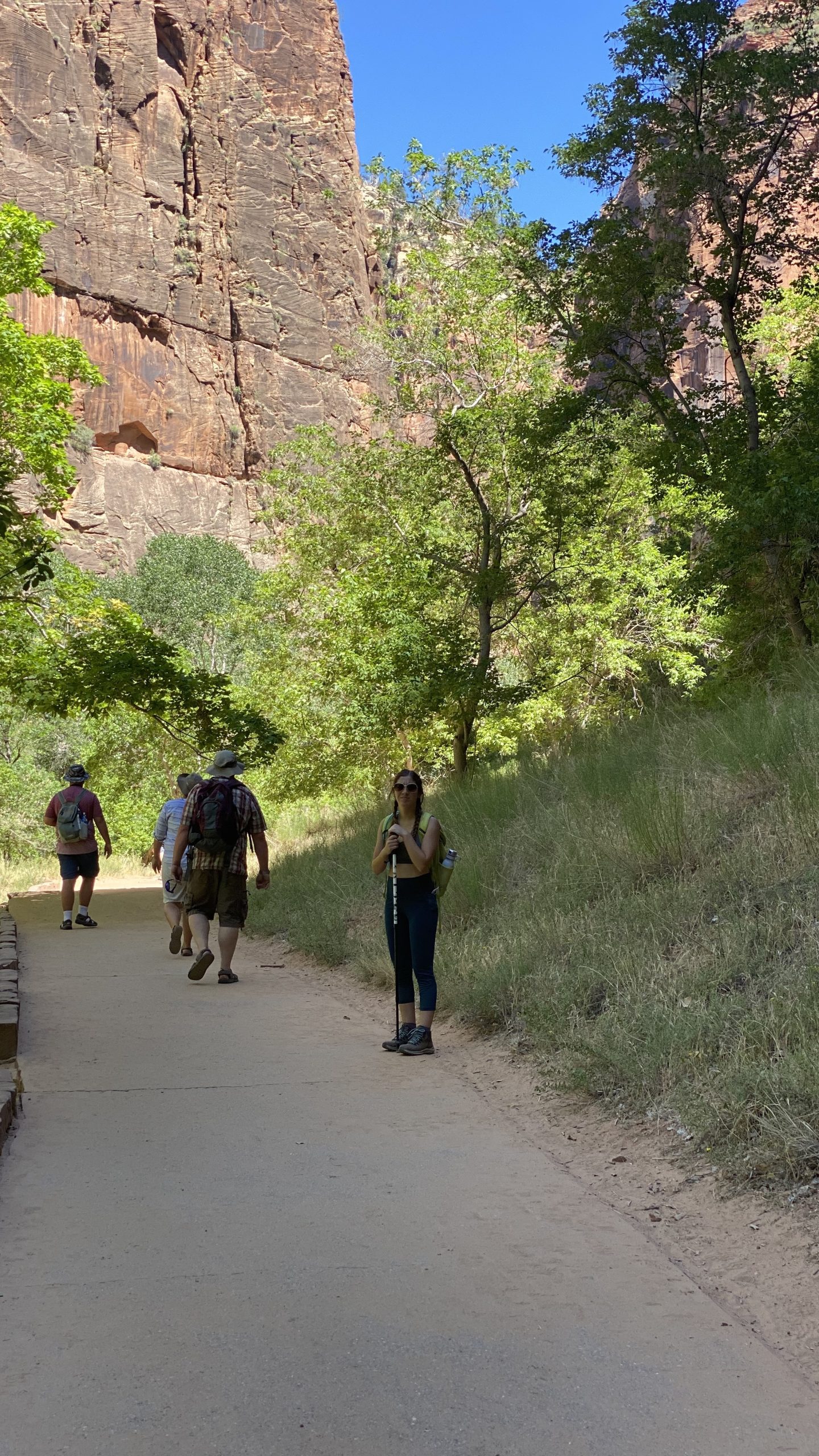
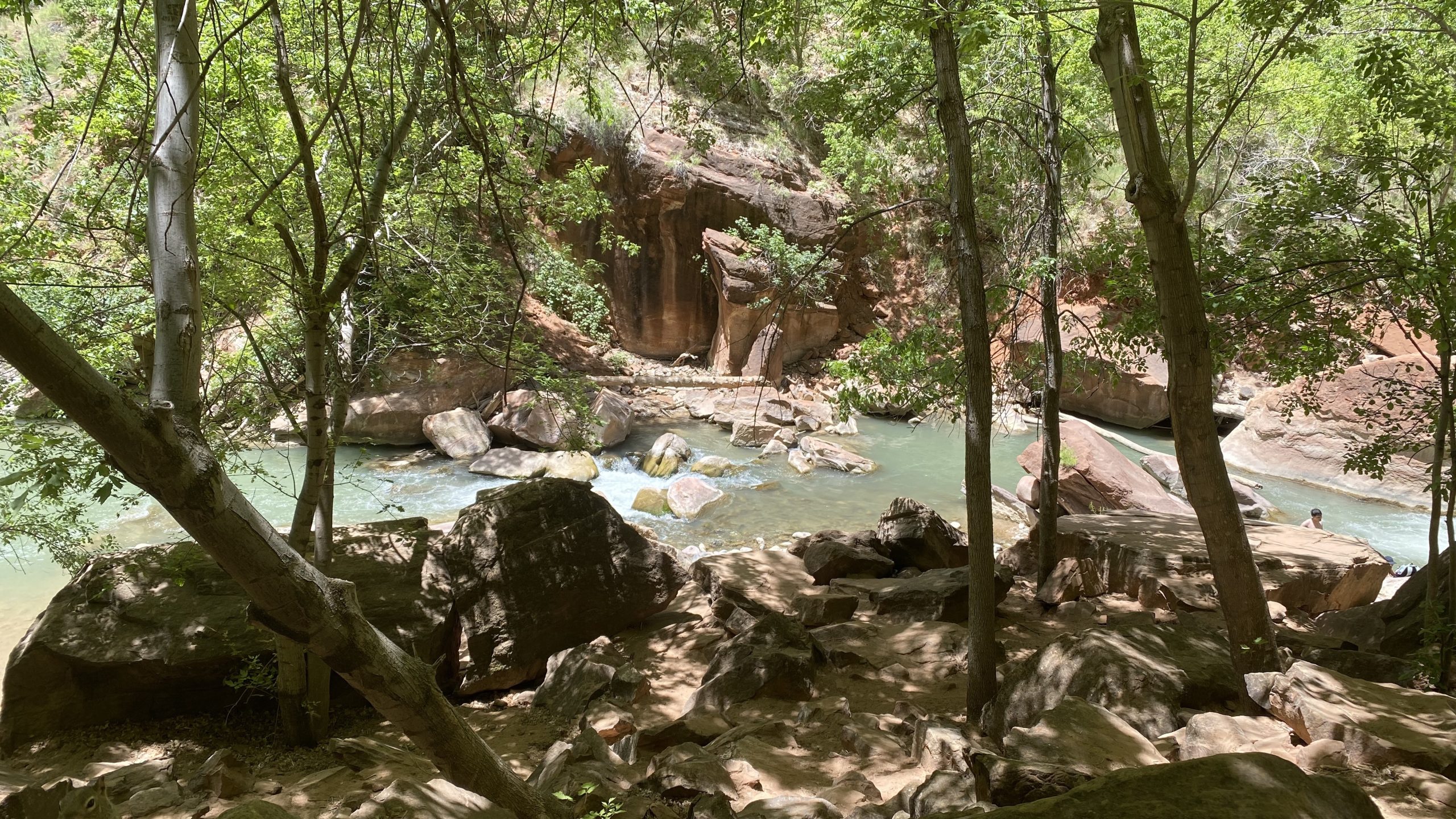
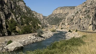
Driving into Zion feels like entering a natural cathedral. Sheer walls of red and cream sandstone rise thousands of feet above the Virgin River, glowing in hues that shift with the sun. The park’s main canyon, carved by the relentless force of water, is a masterpiece of erosion—a place where every curve and crevice tells a story written in stone.


The Geology Behind the Grandeur
Zion’s beauty is rooted in its geology. The park sits on the western edge of the Colorado Plateau, a region uplifted by tectonic forces about 50 million years ago. This uplift created steep gradients for rivers, allowing the Virgin River to carve deep into the plateau, forming the iconic Zion Canyon.
The rock layers here are part of the Grand Staircase, a sequence of sedimentary formations stretching from Bryce Canyon to the Grand Canyon. Zion’s layers record nearly 250 million years of Earth’s history, from ancient seas to vast deserts. The oldest visible layer, the Kaibab Limestone, formed in a tropical sea during the Permian Period. Above it lies the Moenkopi and Chinle formations, deposited in tidal flats and river systems during the Triassic.
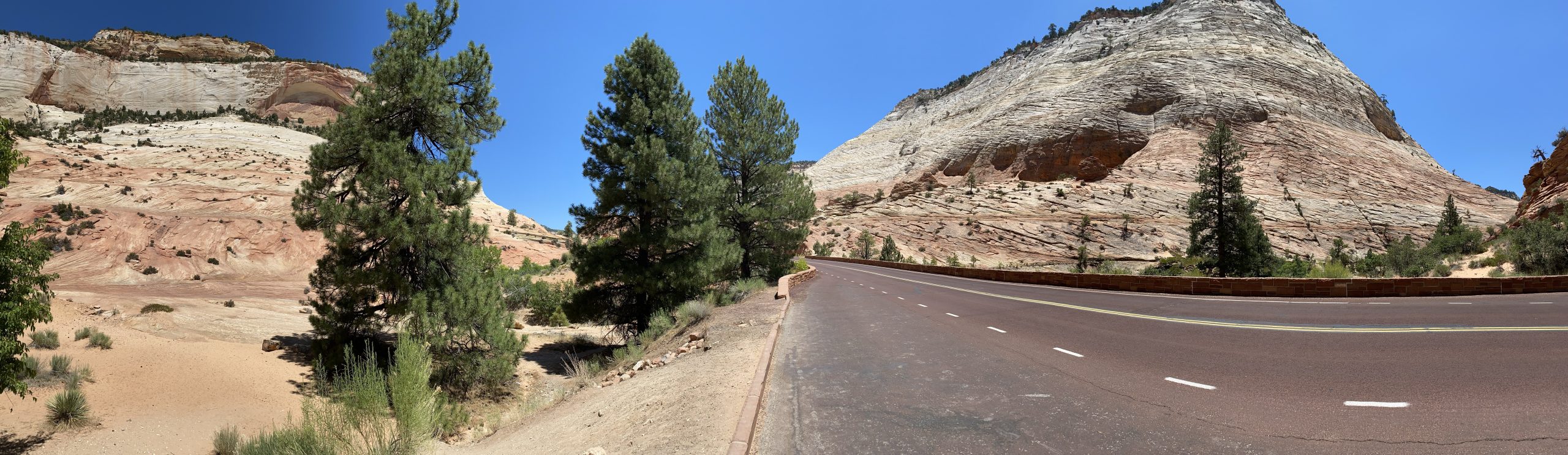
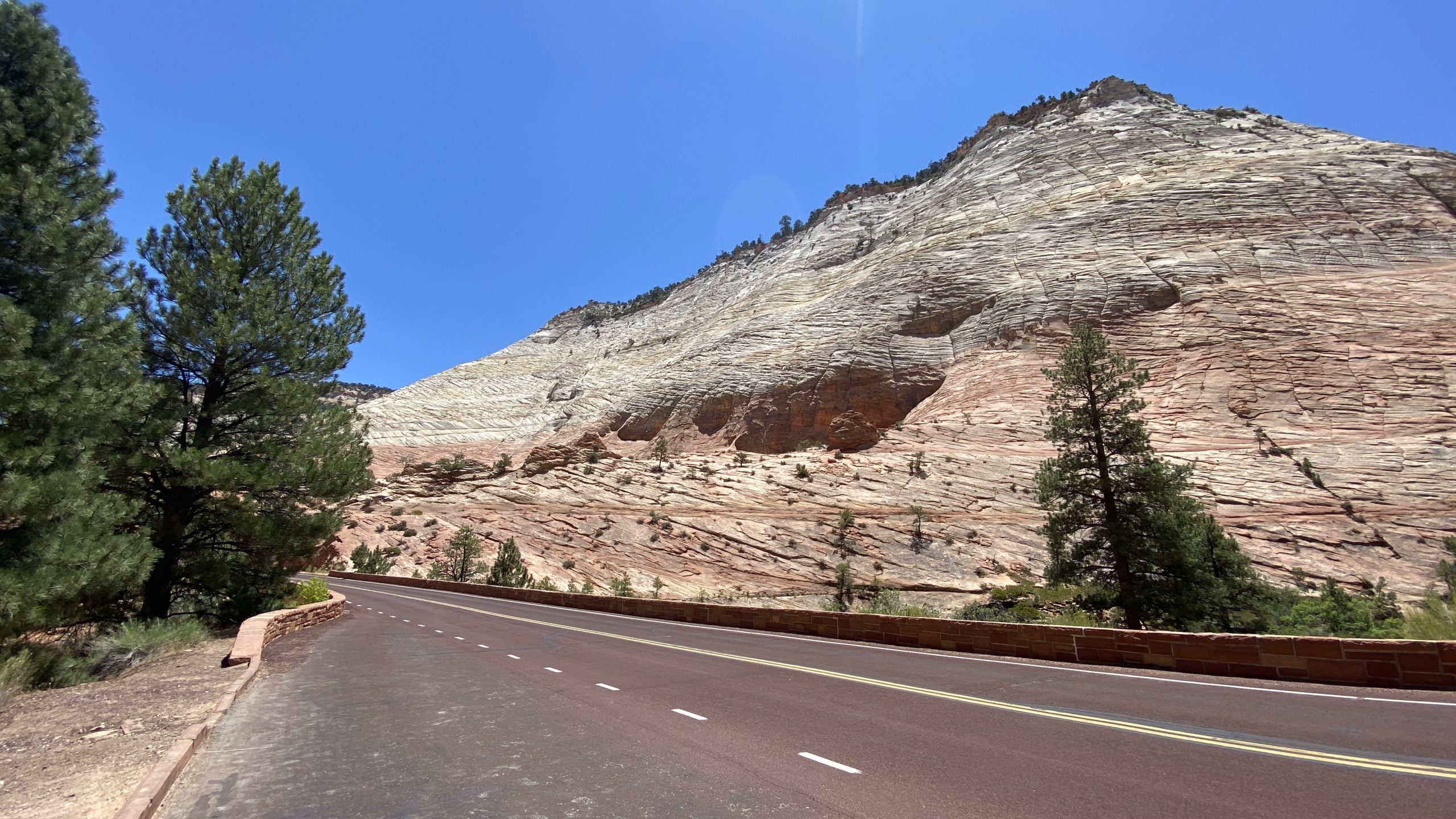
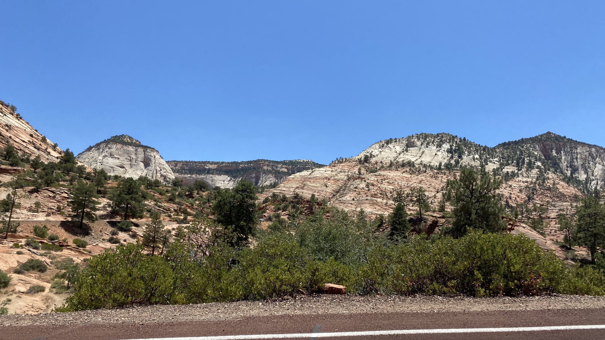
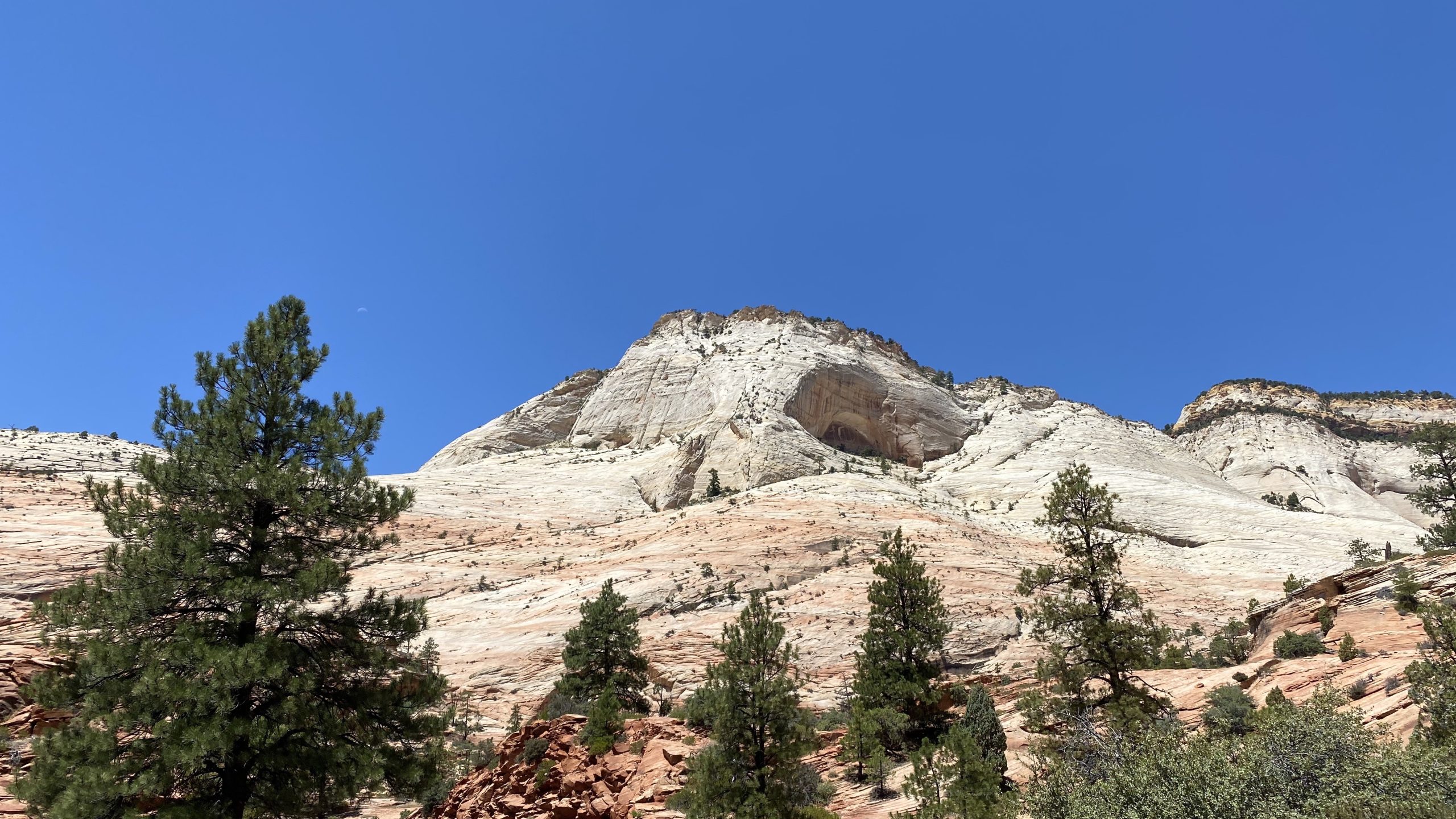
The star of Zion’s geology is the Navajo Sandstone, a massive deposit of windblown sand dunes from the Jurassic Period. These dunes, cemented by iron oxide and calcium carbonate, now stand as towering cliffs with cross-bedded patterns that reveal their desert origins. At their thickest, these sandstone layers reach over 2,000 feet, creating the monoliths that define Zion’s skyline.
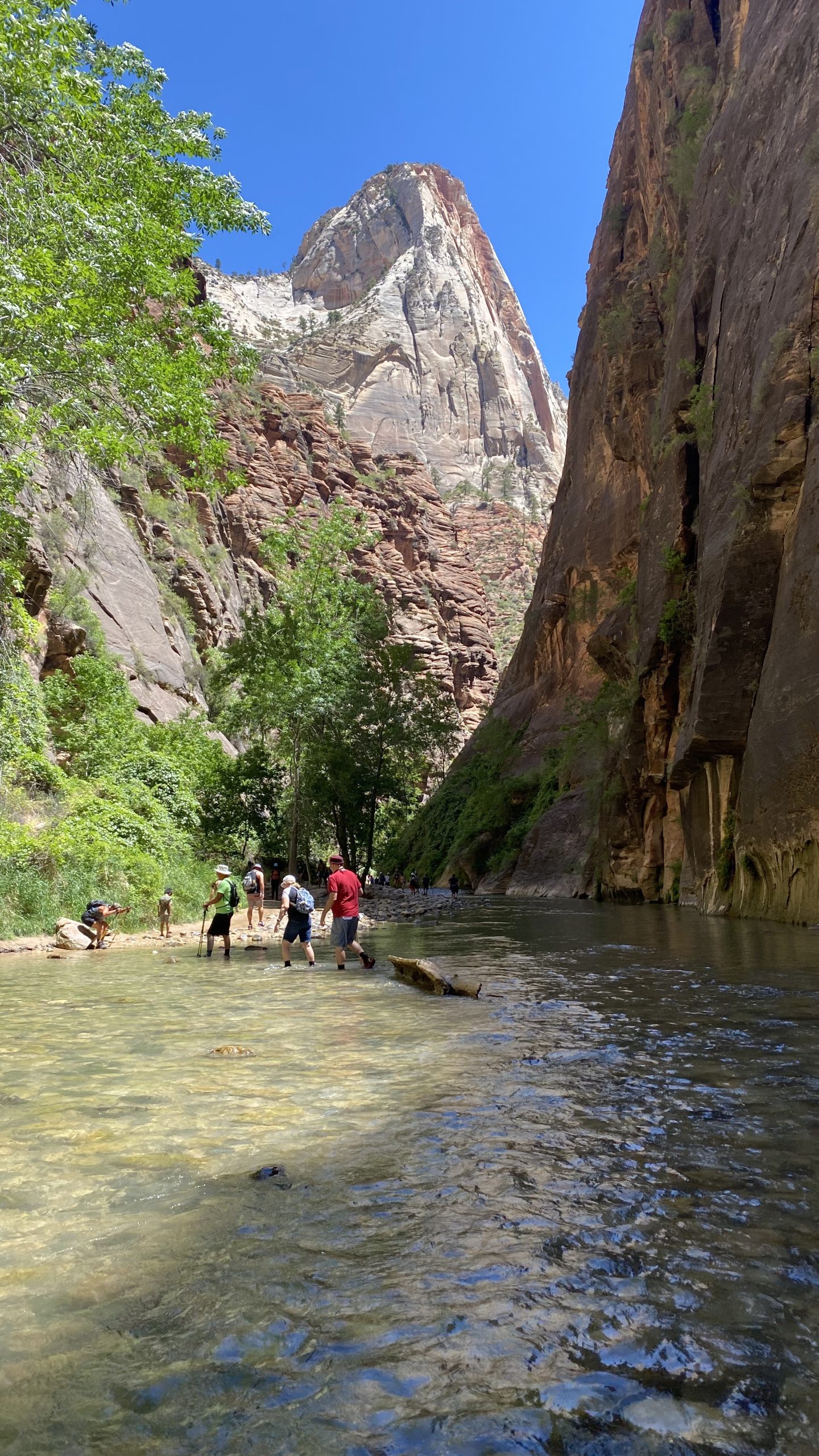
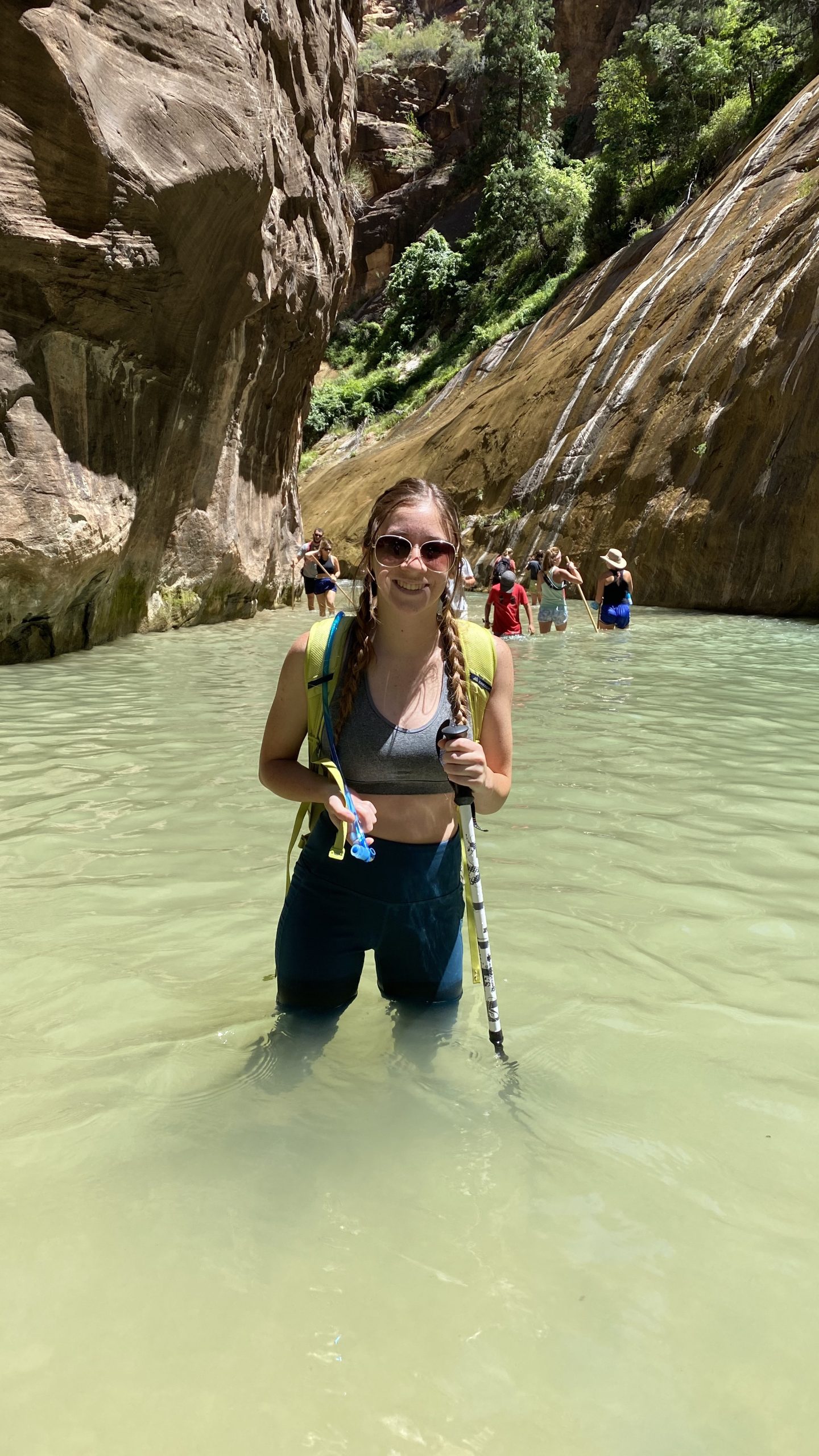
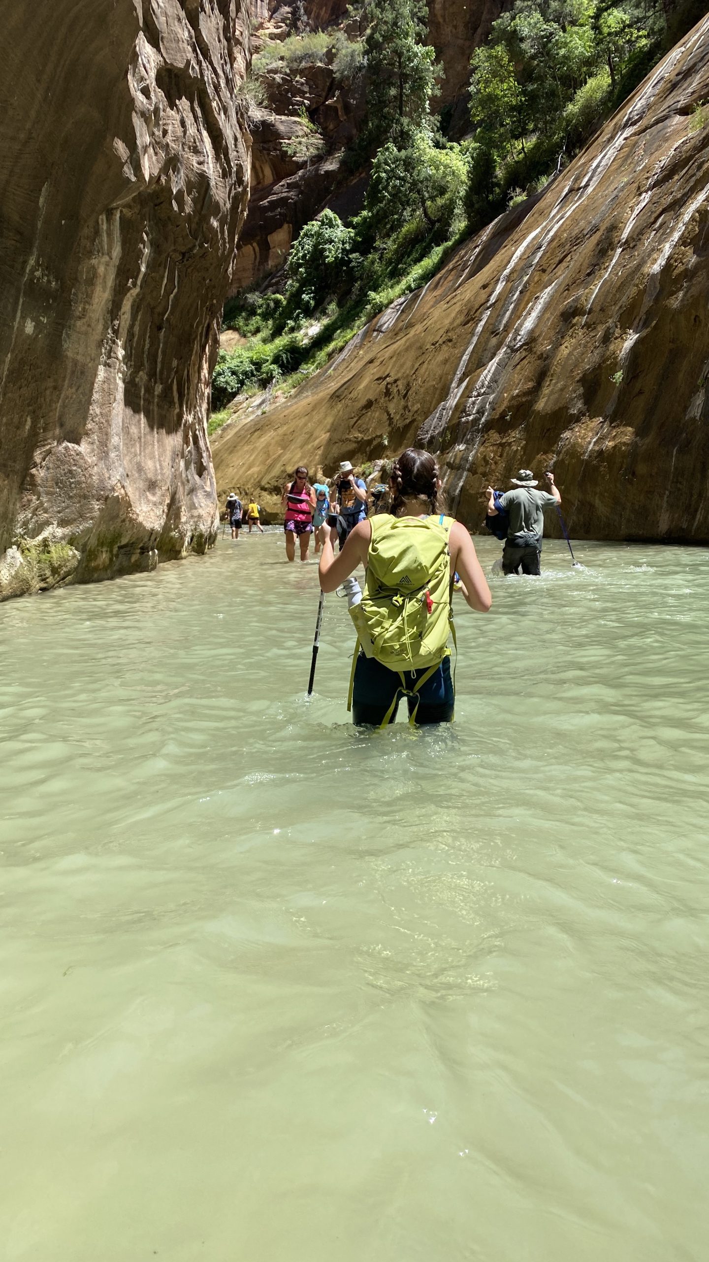
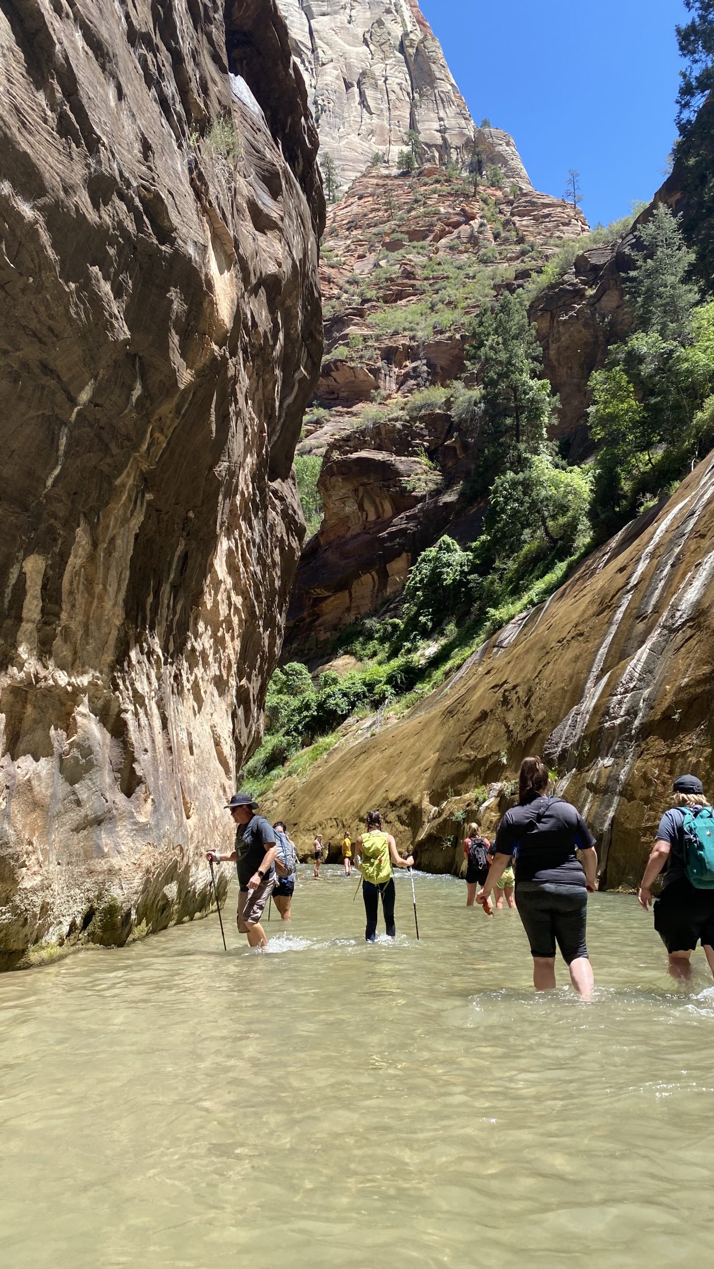
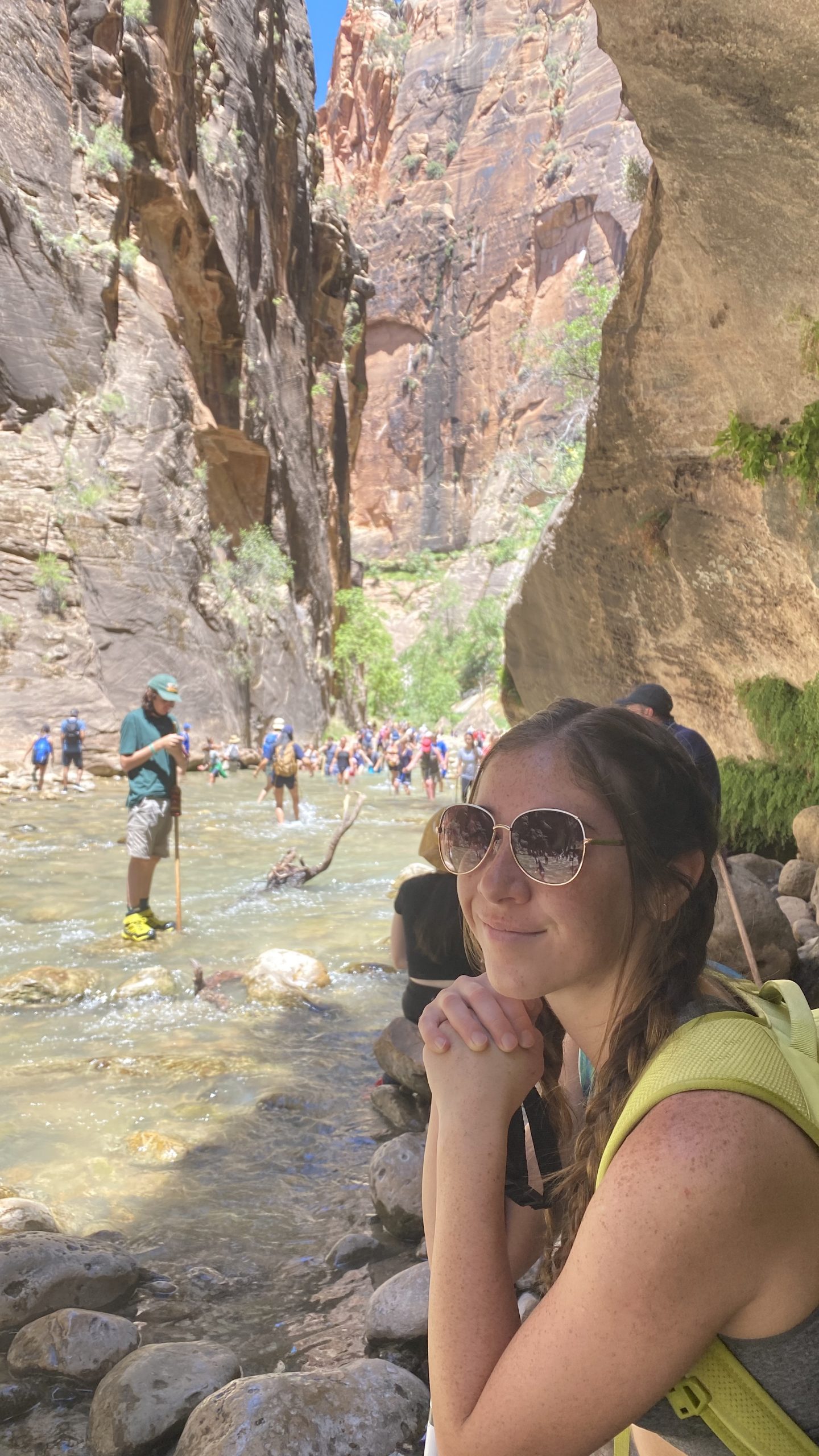
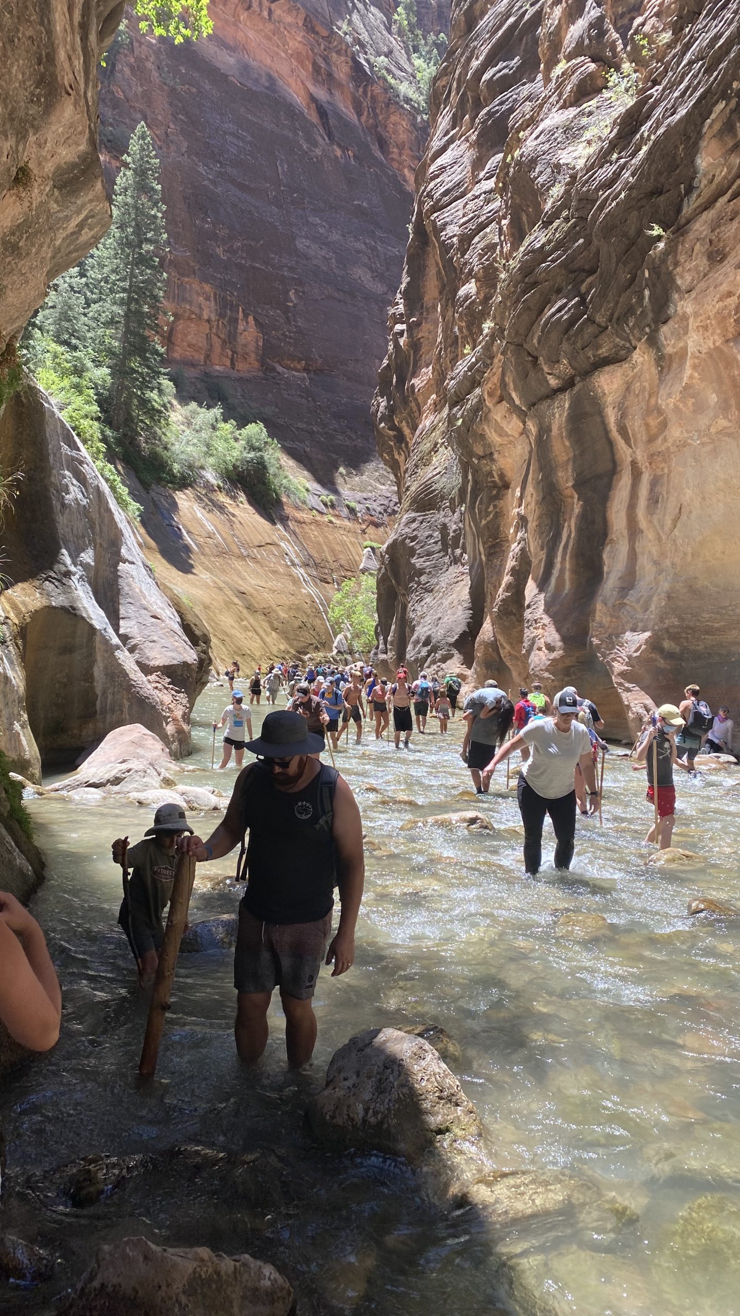
Volcanic activity also left its mark. Lava flows and cinder cones punctuate the landscape, reminders of eruptions that occurred as recently as 120,000 years ago. Today, erosion continues its slow work, sculpting new alcoves and slot canyons like The Narrows, where hikers wade through the Virgin River between walls that soar a thousand feet overhead.
A Timeline of Human History
Long before Zion became a national park, it was home to Indigenous peoples who saw this land as sacred. Archaeological evidence suggests human presence here for at least 8,000 years. Early hunter-gatherers roamed the canyons, leaving behind tools and rock art. Later, the Ancestral Puebloans and Fremont cultures cultivated crops along the Virgin River, building small dwellings and creating petroglyphs that still adorn canyon walls.
By the 12th century, these groups had moved on, and the Southern Paiute became the primary inhabitants. They called the canyon Mukuntuweap, meaning “straight canyon,” and viewed it as a place of spiritual significance. Their knowledge of the land’s resources allowed them to thrive in this rugged environment.
European contact came in the late 18th century when Spanish explorers passed through the region. But it wasn’t until the mid-19th century that permanent settlers arrived. Mormon pioneers, seeking refuge and farmland, entered the canyon in the 1850s. Isaac Behunin, one of the first settlers, built a cabin near what is now Zion Lodge and named the area “Zion,” a biblical term meaning sanctuary. To him, the towering cliffs were natural temples—a sentiment that still resonates with visitors today.


From Monument to National Park
Zion’s transformation from remote canyon to national treasure began in the early 20th century. In 1909, President William Howard Taft designated the area as Mukuntuweap National Monument to protect its unique geological features. The name, derived from the Paiute language, proved unfamiliar to many, and in 1918 it was changed to Zion National Monument. A year later, Congress elevated it to Zion National Park, making it Utah’s first national park.
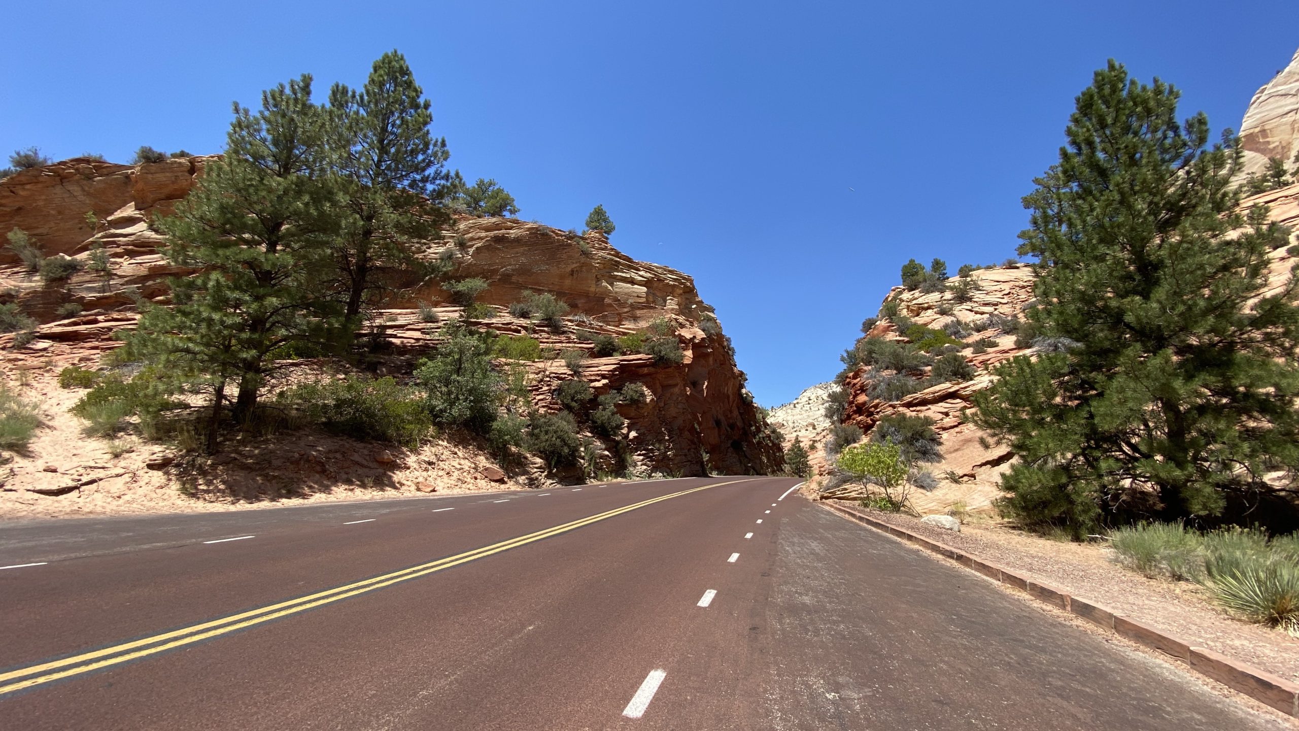
Infrastructure soon followed. Roads and trails were built to improve access, including the ambitious Zion-Mount Carmel Highway and Tunnel, completed in 1930. This engineering marvel connected Zion to Bryce Canyon and the Grand Canyon, opening the region to tourism and cementing Zion’s place in the famed “Grand Circle” of Southwestern parks.
Experiencing Zion Today
Modern visitors flock to Zion for its breathtaking scenery and world-class hiking. The park’s most famous trails include:
- Angels Landing: A thrilling climb along a narrow ridge with chains for support, culminating in panoramic views of Zion Canyon.
- The Narrows: A hike through the Virgin River in a slot canyon so narrow that sunlight barely touches the water.
- Observation Point: A strenuous trek to a viewpoint that towers above Angels Landing, offering sweeping vistas of the canyon.
- Emerald Pools: A family-friendly trail leading to waterfalls and lush alcoves.
Beyond hiking, Zion offers opportunities for canyoneering, rock climbing, and wildlife viewing. Mule deer graze in meadows, peregrine falcons soar above cliffs, and desert bighorn sheep navigate the rugged terrain with ease.
Seasons of Splendor
Each season paints Zion in a different light:
- Spring brings wildflowers and rushing waterfalls.
- Summer offers long days for exploration but also afternoon thunderstorms.
- Fall cloaks the canyon in golden cottonwoods against red rock walls.
- Winter reveals a quieter Zion, with snow dusting the cliffs and fewer crowds.
Preserving a Fragile Paradise
As Zion’s popularity has soared—drawing over 4 million visitors annually—so have challenges related to conservation. The National Park Service works tirelessly to protect fragile ecosystems, maintain trails, and preserve cultural sites. Collaboration with local tribes ensures that Indigenous heritage remains an integral part of Zion’s story.
Why Zion Captivates
Zion National Park is more than a scenic wonder; it’s a living archive of Earth’s history and human resilience. Its cliffs record the passage of geologic time, while its trails echo the footsteps of ancient peoples and pioneers. Whether you’re standing at the edge of Angels Landing, wading through The Narrows, or simply gazing at the sunset from Canyon Overlook, Zion invites you to pause, reflect, and reconnect—with nature, with history, and perhaps with something greater than yourself.
So pack your boots, bring your curiosity, and prepare to be humbled. Zion isn’t just a park—it’s a sanctuary carved by time and cherished by generations.


Leave a reply
You must be logged in to post a comment.